Back roads and wildlife

The dirt roads off US-93 are where the animals are. Moose in the willows on Trail Creek Road and the North Fork of the Big Lost, bighorn sheep on the cliffs above Morgan Creek Road, the Challis wild horse herd on Spar Canyon Road, and the rock walls of Pass Creek Canyon twenty minutes from Mackay.

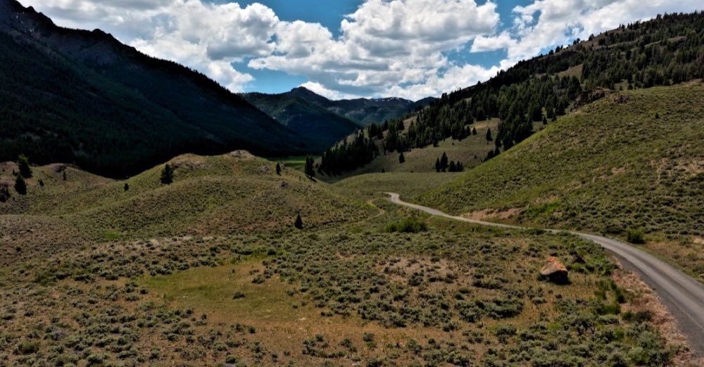
Trail Creek Road running through a wide green valley toward the mountains

Trail Creek Road

Forest Road 208 · Mackay to Sun Valley over the Pioneers

Where the moose are. Below the summit on the Mackay side, the creek slows down and spreads out: a flat bottom, beaver water, willow up over your head. Watch from the road. A cow with a calf is the one thing out here that will come to you. It’s a great ATV and UTV ride, too.

Surface
Paved out of Ketchum, then gravel over the summit.
Season
Mid-May to mid-June until around mid-November. Dates set annually.
Cell service
Sun Valley side only. None over the summit.
Road, season and what to know →
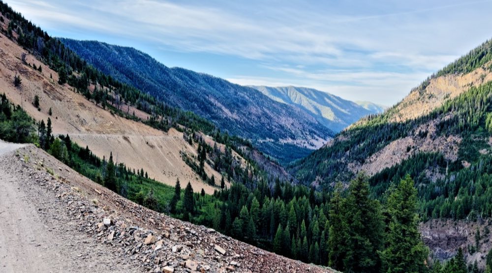
The North Fork of the Big Lost River drainage, timbered slopes above the creek bottom

North Fork of the Big Lost

Salmon-Challis National Forest · off Trail Creek Road

A road that doesn’t go anywhere, and that’s the point: twelve and a half miles into the Pioneers with almost nobody in it, moose in the willows and pronghorn on the sage below. Free camping all the way up, and a good ride on the ATV or UTV.

Road
Passenger-friendly to the gate; high clearance beyond. Impassable when wet.
Season
Roughly June to late September.
Drive from Mackay
US-93 north ~16 mi, west on Trail Creek Road (FR 208), then North Fork Road.
Road, season and what to know →
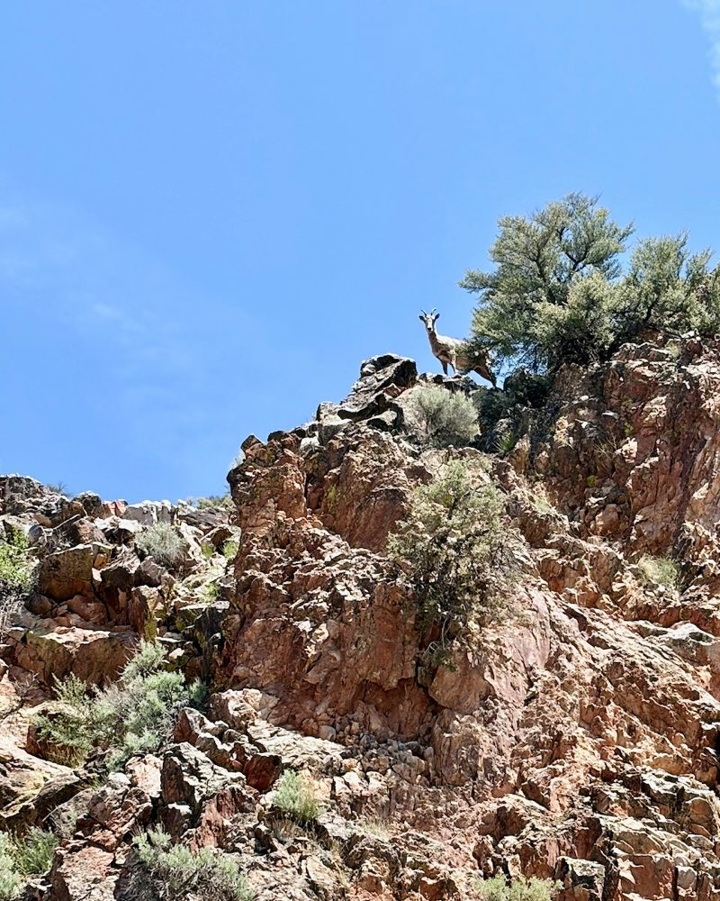
A bighorn sheep standing on a rock outcrop against a blue sky

Morgan Creek Road

Forest Road 055 · north of Challis

The best place in the valley to see bighorn sheep from a car. They work the rock above the road, so glass upward at the cliff bands, first and last light. Stop, engine off, and stay in the vehicle: they read a stopped car as scenery and a person on foot as a predator.

Surface
Gravel forest road. Passenger cars in the dry.
Drive from Mackay
~60 mi / ~1 hr 15 min.
Road, season and what to know →
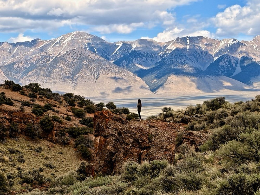
A lone figure on a rock outcrop above the valley, the snowy range beyond

Spar Canyon Road

BLM Challis · off US-93 north of Mackay

A dirt road through eroded volcanic canyon, rust and ochre and grey, out to the East Fork of the Salmon: an hour without meeting another car. The BLM’s Challis wild horse herd lives on this ground, and a band will stand in the road and look at you.

Road
Graded dirt, rockier at the highway end; cars in the dry, nothing low-slung after rain
Season
Spring to fall; unmaintained in winter; flash-flood country
Cell service
None; download maps before you go
Road, season and what to know →
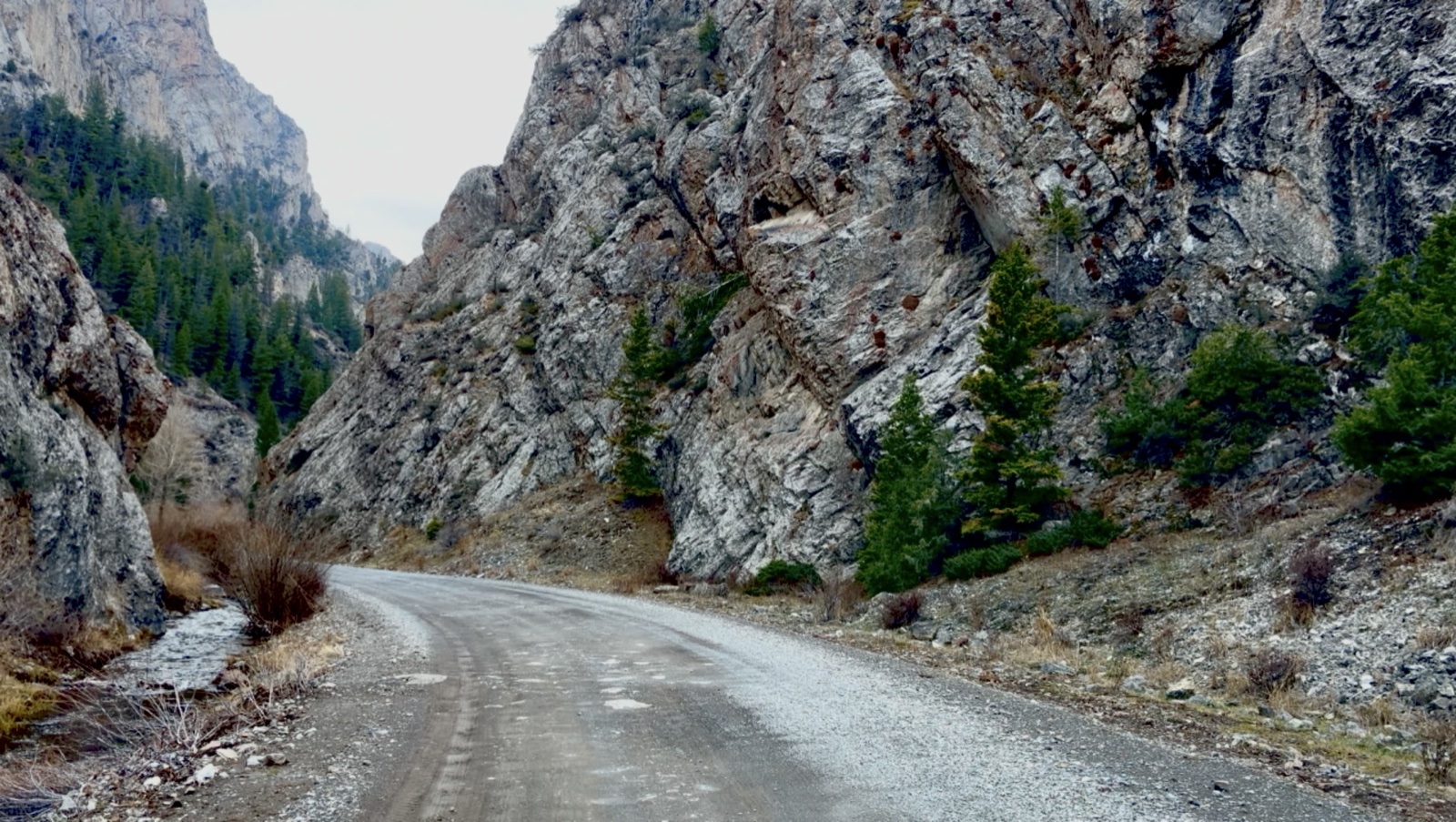
A gravel road curving between tall grey rock walls in the Pass Creek narrows, evergreens at the foot of the cliff

Pass Creek Canyon

Lost River Range · south of Mackay

People who ride it call it Little Yosemite: a well-kept dirt road running straight into a gap in the range, between walls of rock that go straight up. A good ATV and UTV ride, twenty minutes from Mackay.

Road
US-93, then 3900 West, then Pass Creek Road, dirt
Road, season and what to know →

Get the guide.

24 pages, 17 places, free. One email a month after that — new spots, conditions from the valley, and what is worth driving to next.

Free. No paid placements in it. Unsubscribe in one click.

More of the Lost River country

Other places worth the drive

Plan my trip

Want us to put the trip together?

Tell us what you'd like to do, your dates and your budget. We'll email you a plan and connect you with local outfitters and lodges. Free.

Plan my trip →