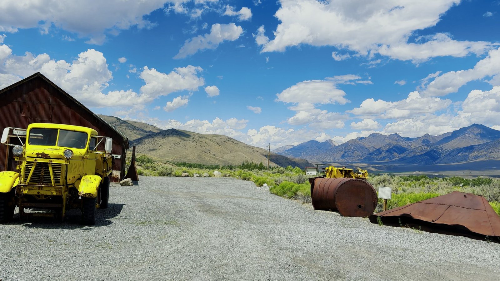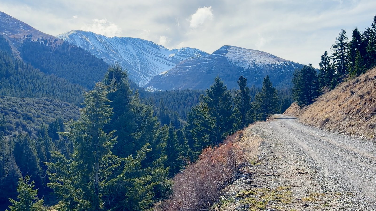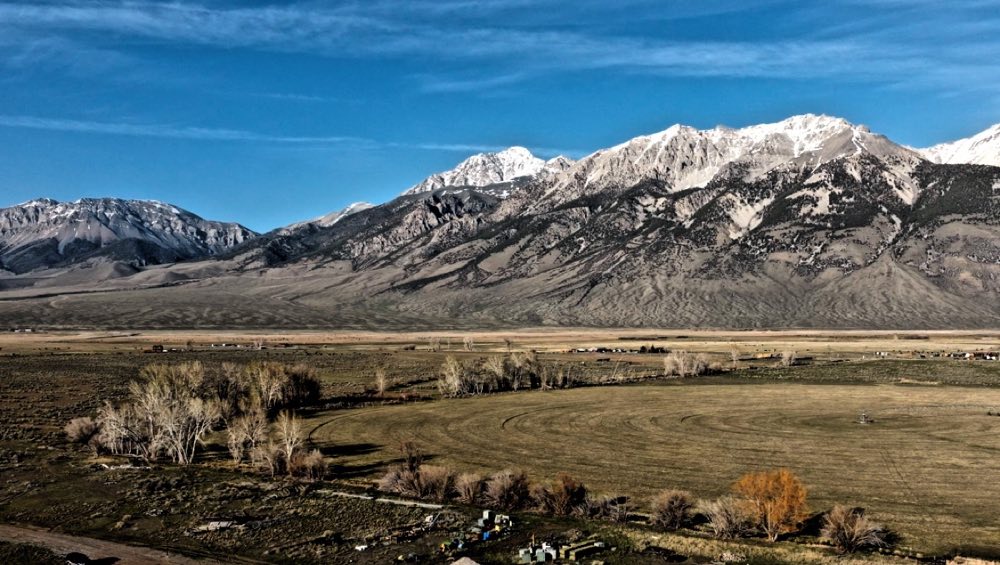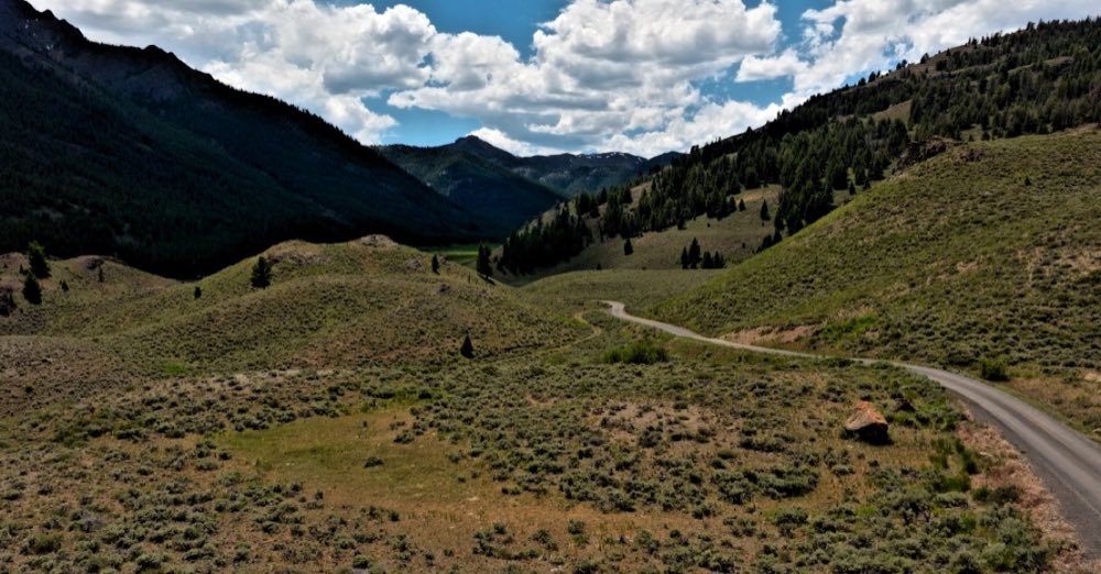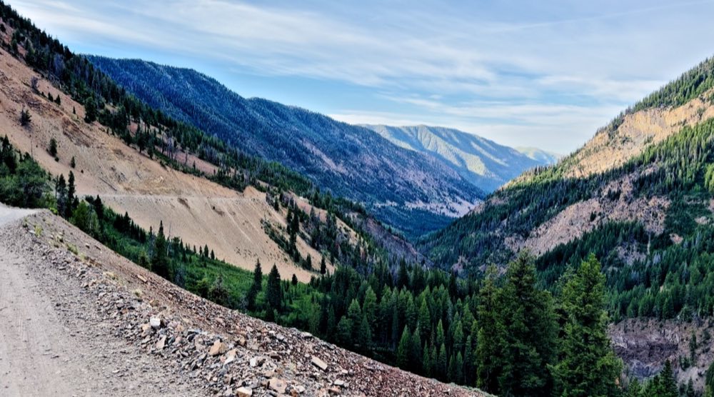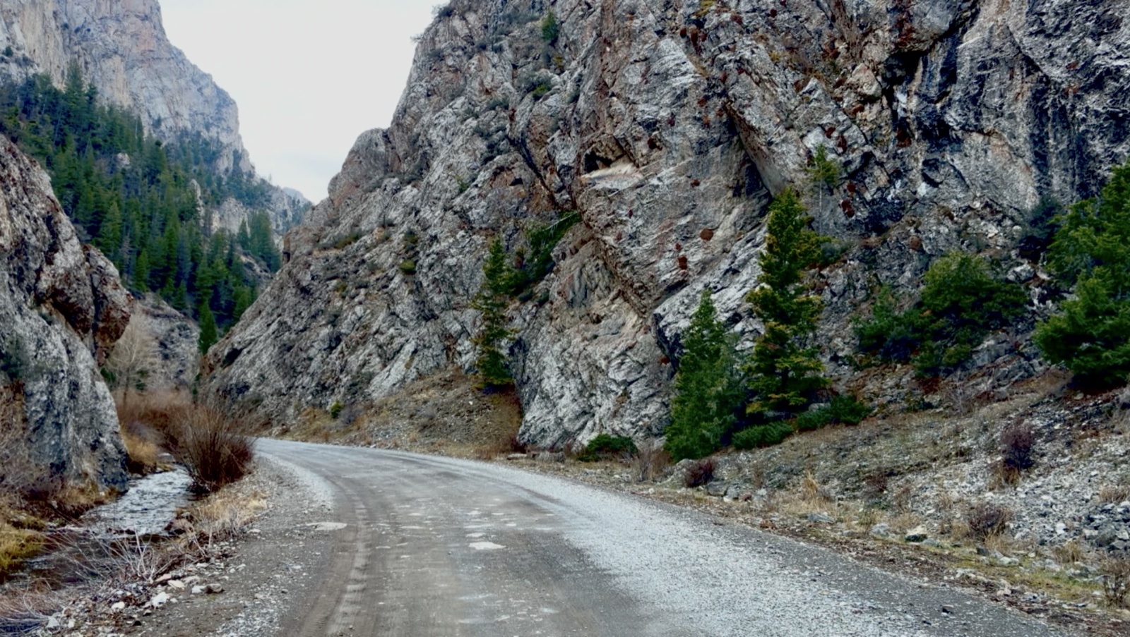
People who ride it call it Little Yosemite: a well-kept dirt road running straight into a gap in the range, between walls of rock that go straight up. A good ATV and UTV ride, twenty minutes from Mackay.
Head down US-93, turn onto 3900 West, and Pass Creek Road runs into the narrows. Past them a trail on the right leads into the Enchanted Forest, a dense stand of tall evergreens, and the road climbs past campsites to Pass Creek Summit and the Little Lost River Valley below.
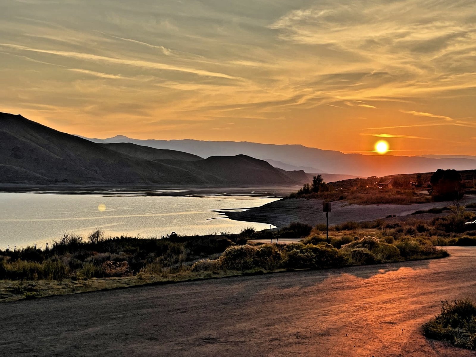
Mackay Reservoir US-93 · just north of Mackay
Mine Hill & White Knob Mackay · the Mackay Mine Hill Tour
King Mountain Moore · the King Mountain Glider Park
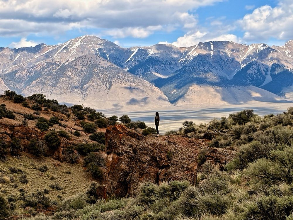
Doublespring Pass Lost River Range · just north of Mount Borah
Mount Borah Lost River Range · US-93 north of Mackay
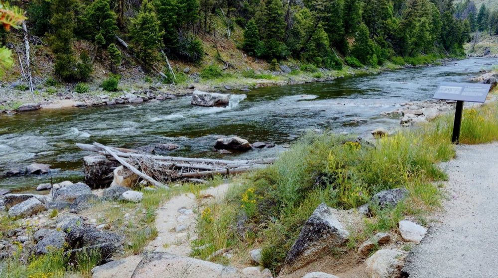
North Fork of the Big Lost Salmon-Challis National Forest · off Trail Creek Road
Trail Creek Road Forest Road 208 · Mackay to Sun Valley over the Pioneers
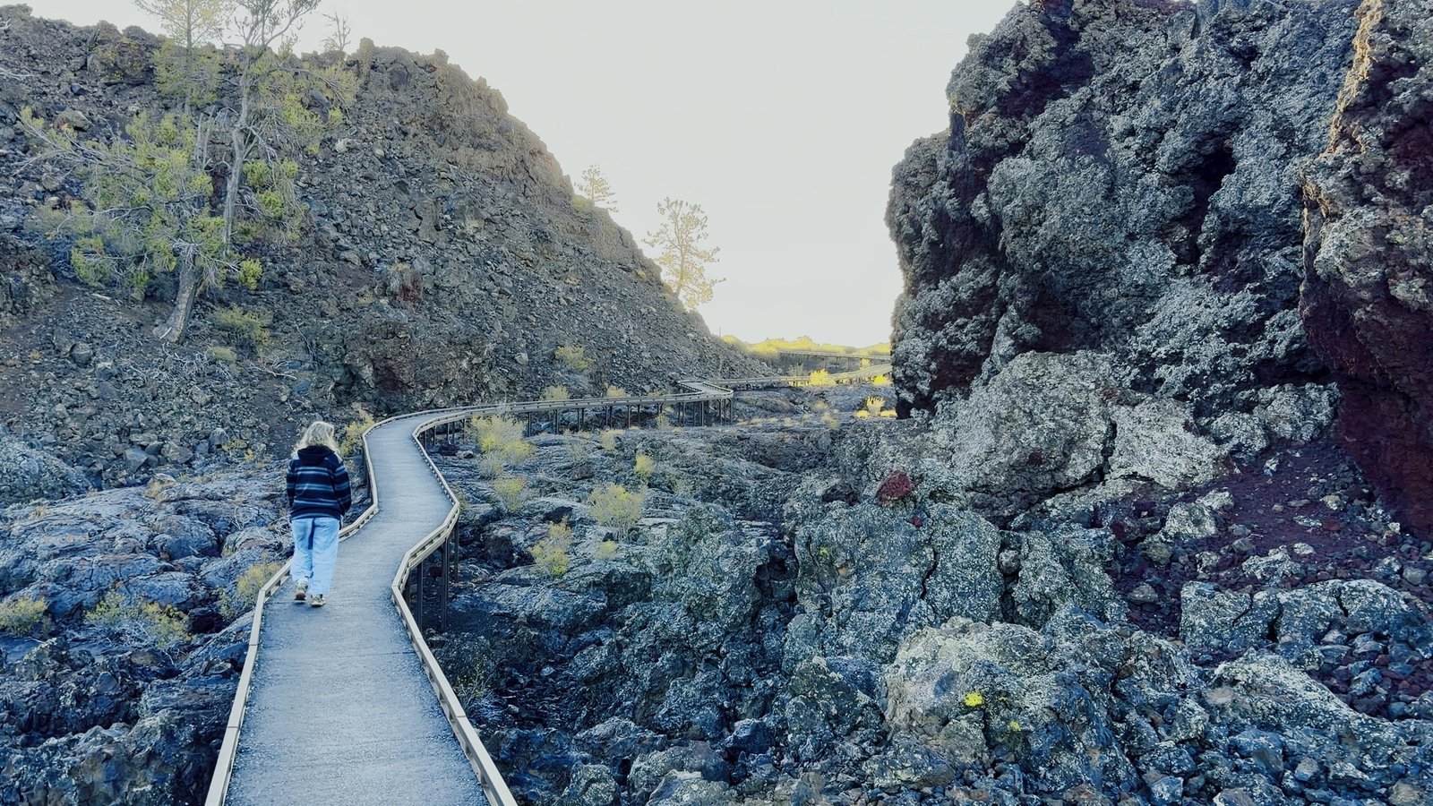
Craters of the Moon National Monument & Preserve · past Arco
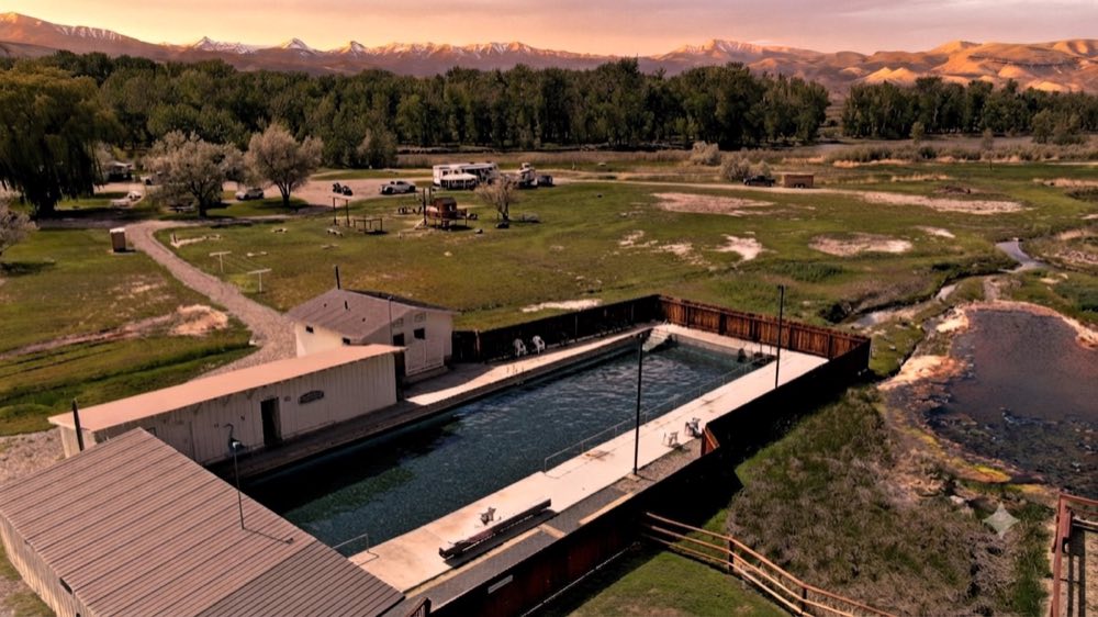
Challis Hot Springs Land of the Yankee Fork State Park · Challis
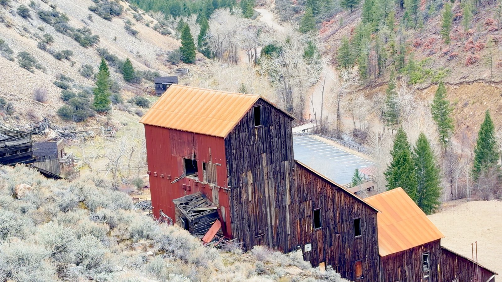
Bayhorse Land of the Yankee Fork State Park · off Highway 75
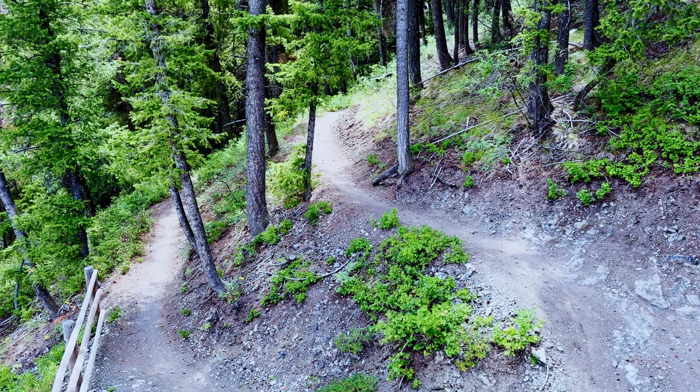
Mountain Biking Sun Valley Ketchum · over Trail Creek Road
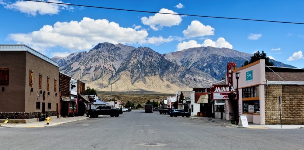
Mackay Custer County · the town at the bottom of the range
Sunbeam Hot Springs Highway 75 · on the Salmon River below Stanley
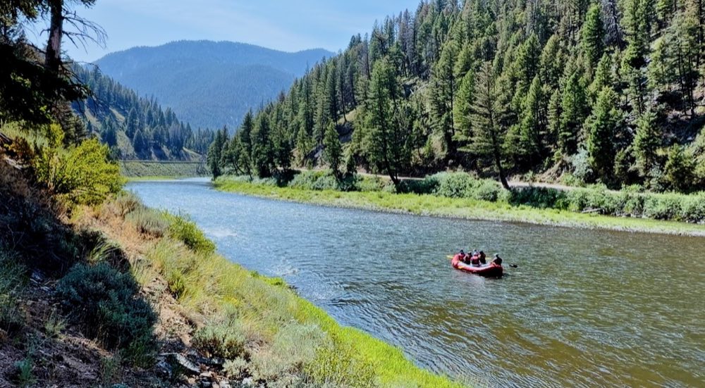
Whitewater at Stanley The Salmon River · Sunbeam to Stanley
Spar Canyon Road BLM Challis · off US-93 north of Mackay
Morgan Creek Road Forest Road 055 · north of Challis
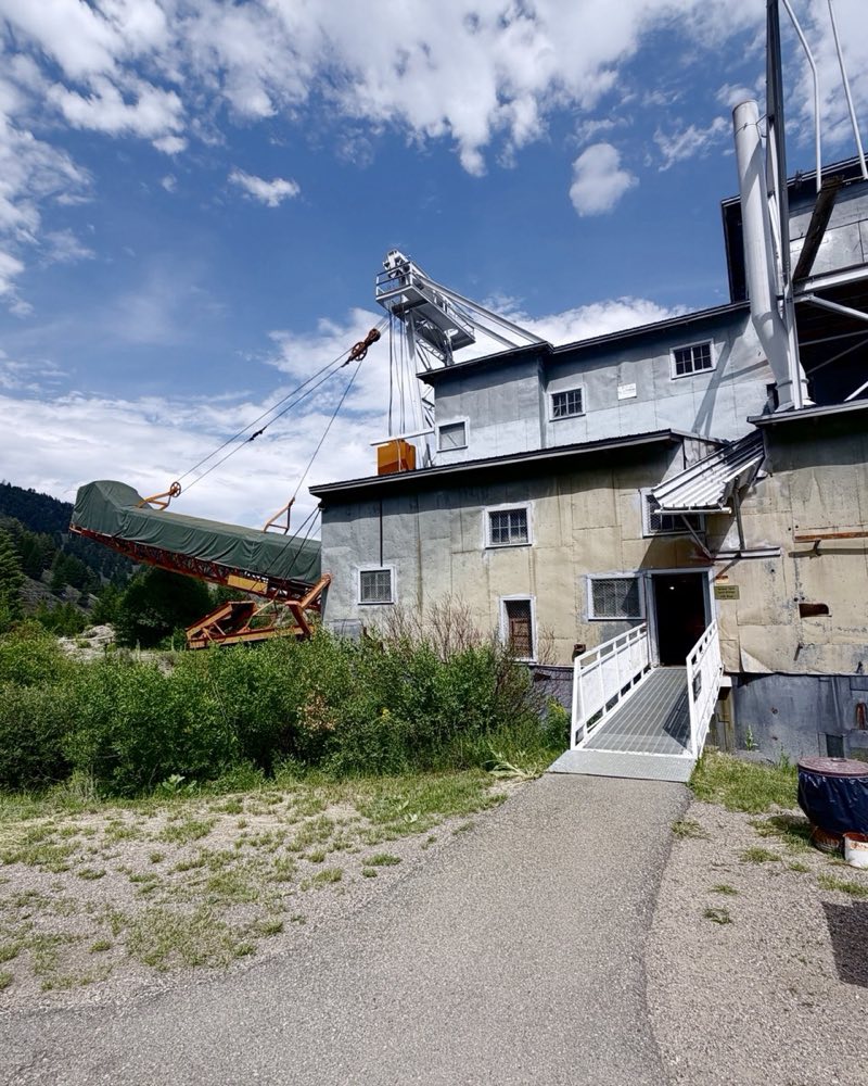
The Yankee Fork Gold Dredge Land of the Yankee Fork · up from Sunbeam
Custer Land of the Yankee Fork · the ghost town
Barney Hot Springs Upper Pahsimeroi Valley · across from Summit Creek campground Tell us what you'd like to do, your dates and your budget. We'll email you a plan and connect you with local outfitters and lodges. Free.