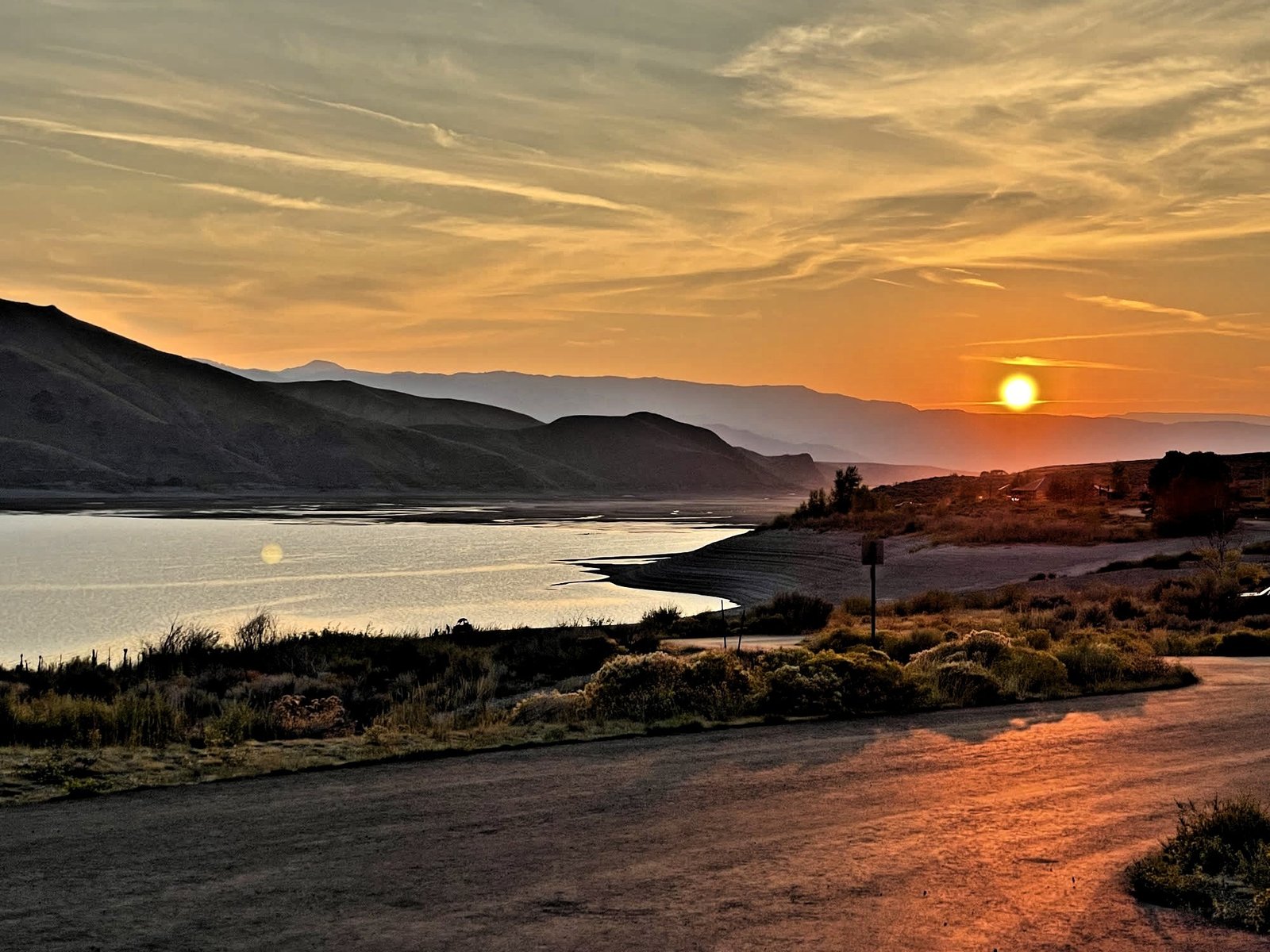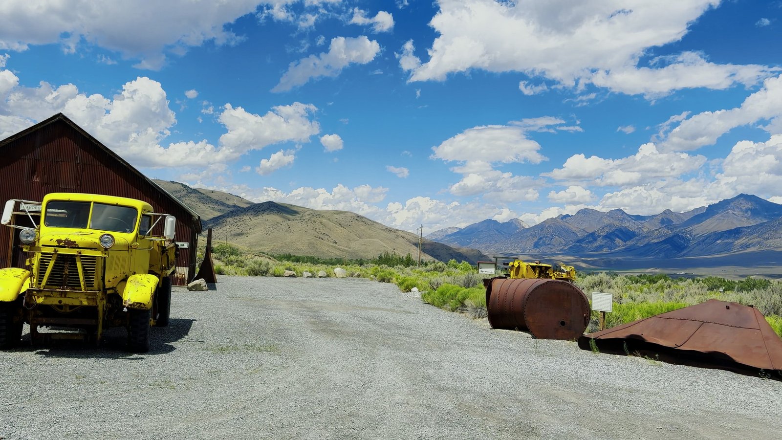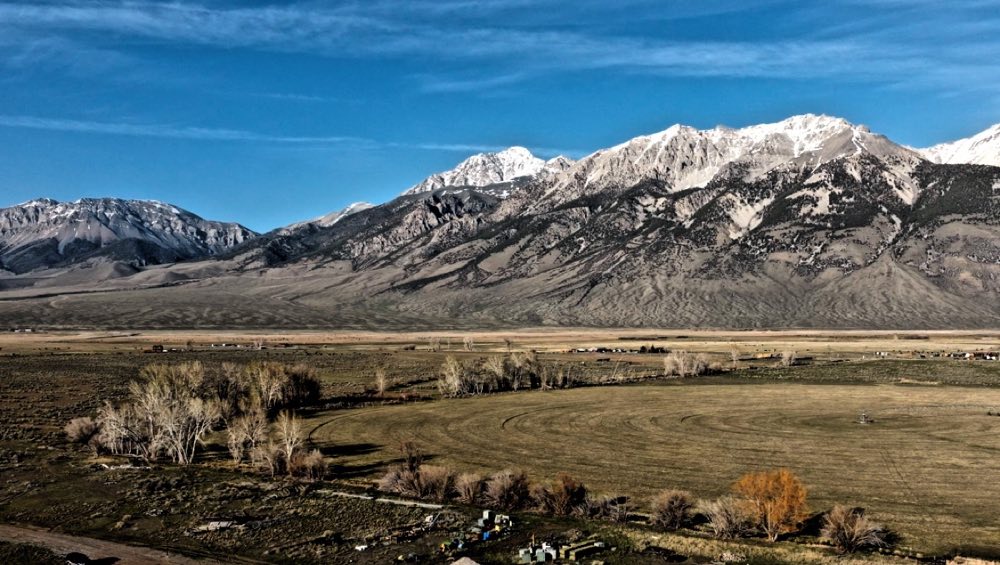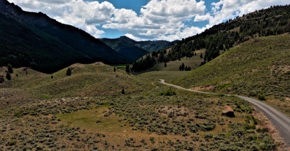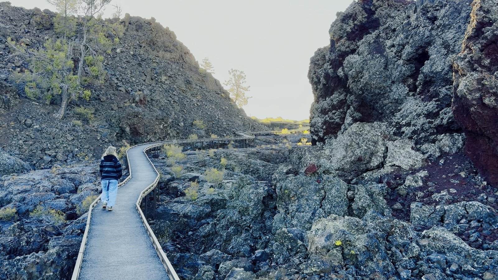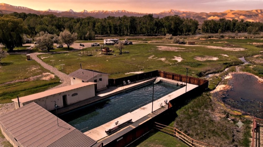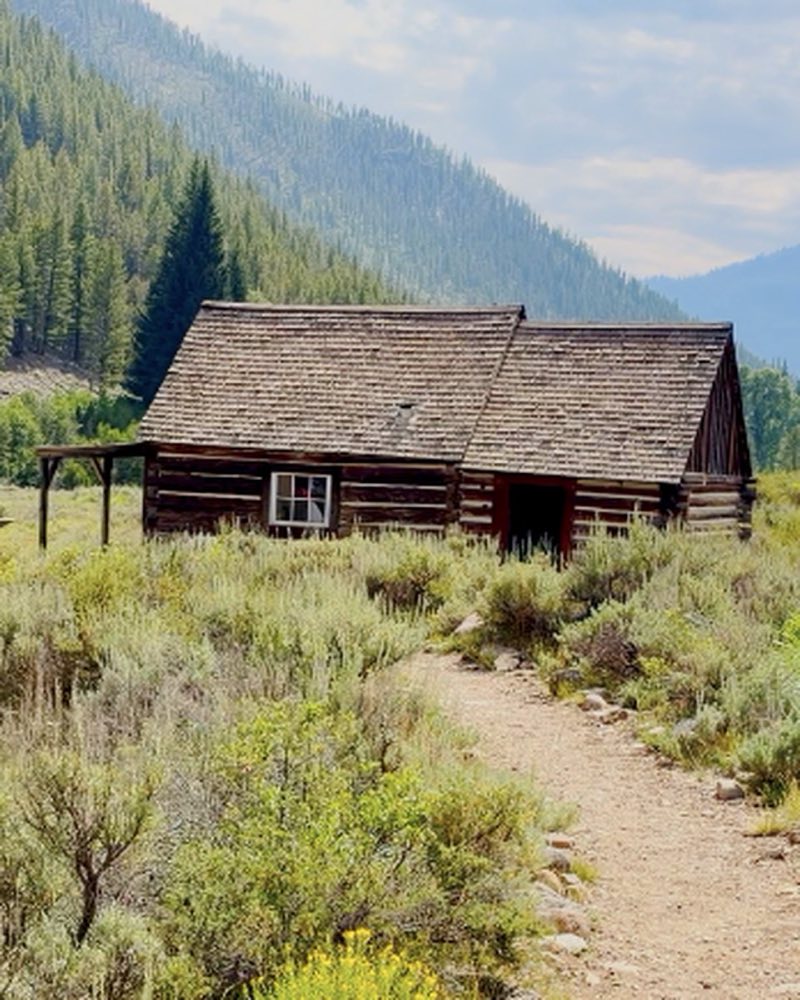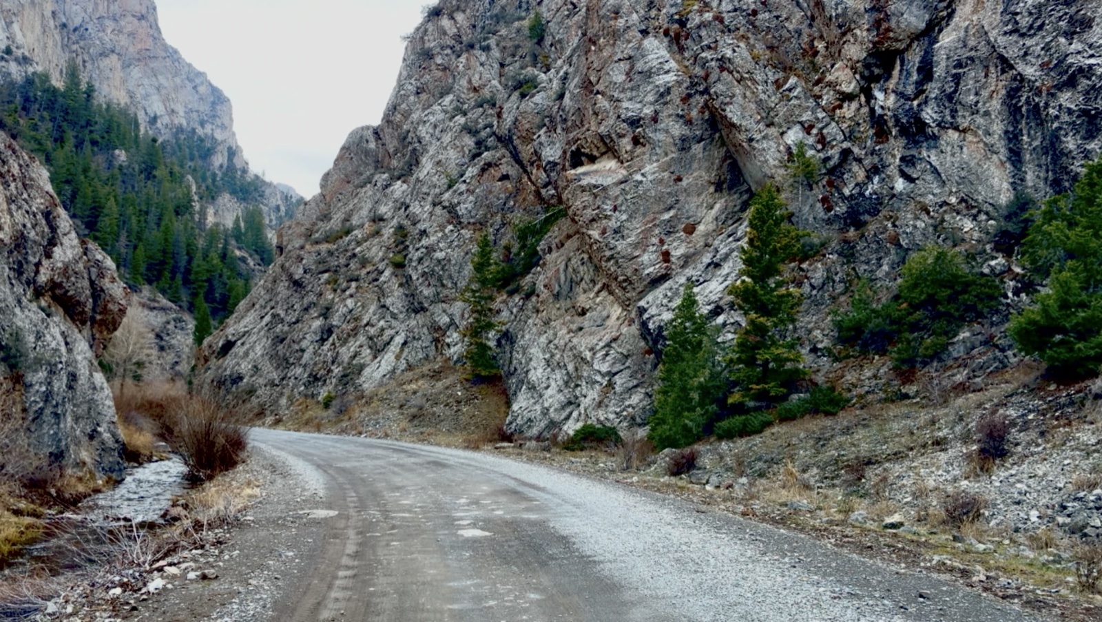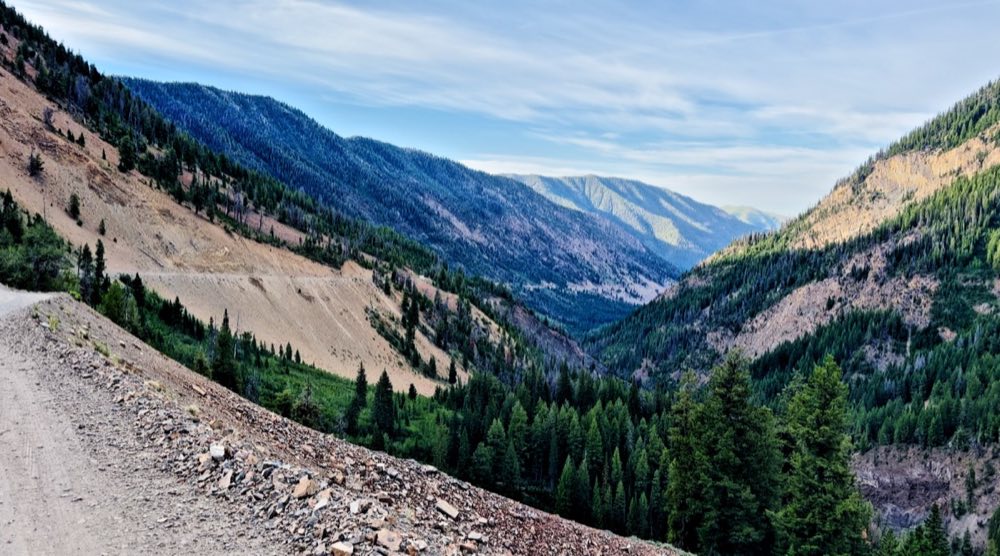
Trail Creek Road is the mostly gravel road, about 41 miles long, over the Pioneer Mountains between Ketchum in the Sun Valley area and US-93 near Mackay, Idaho. It opens between mid-May and mid-June and stays open until around mid-November. The dates are set each year.
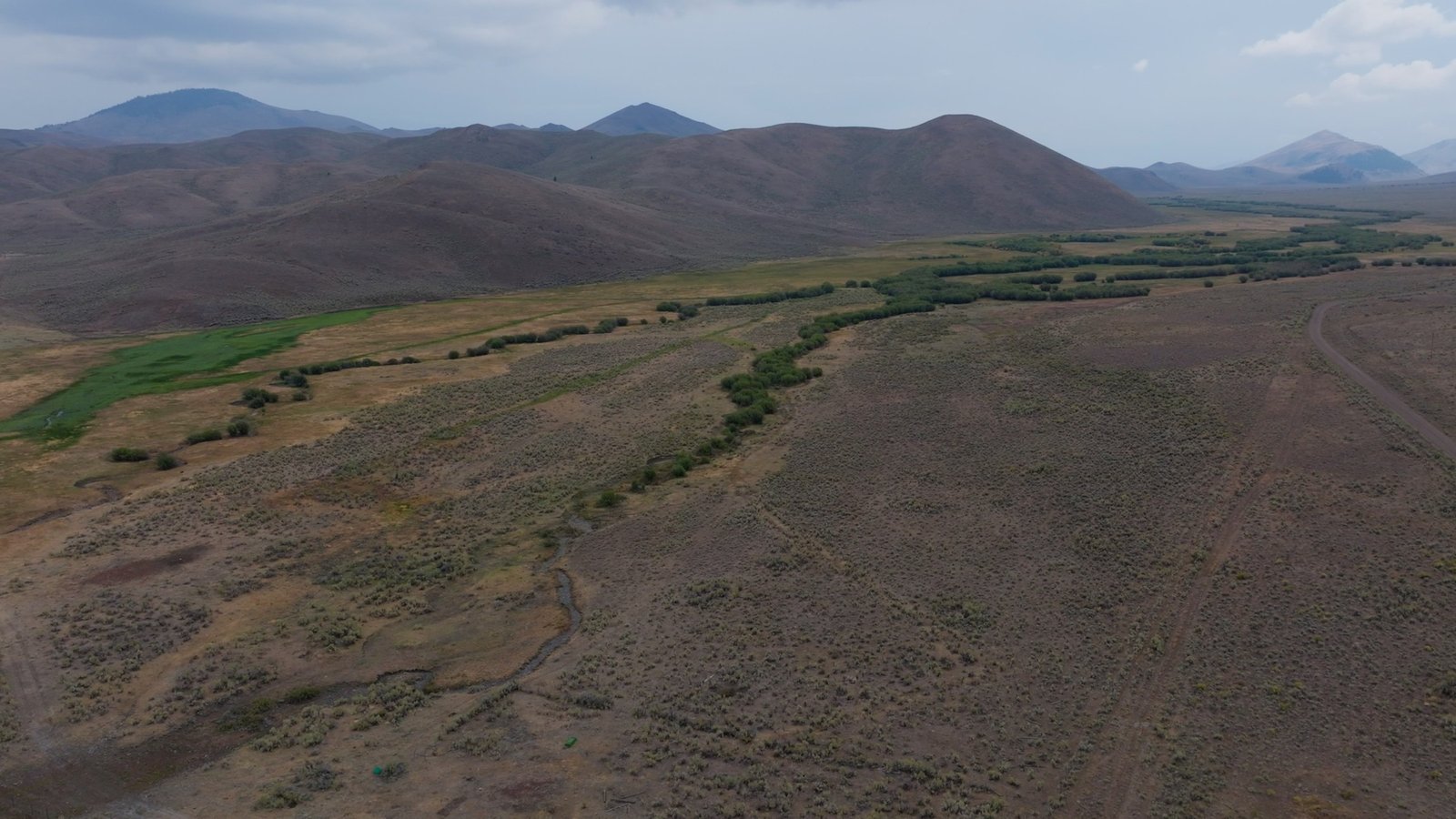
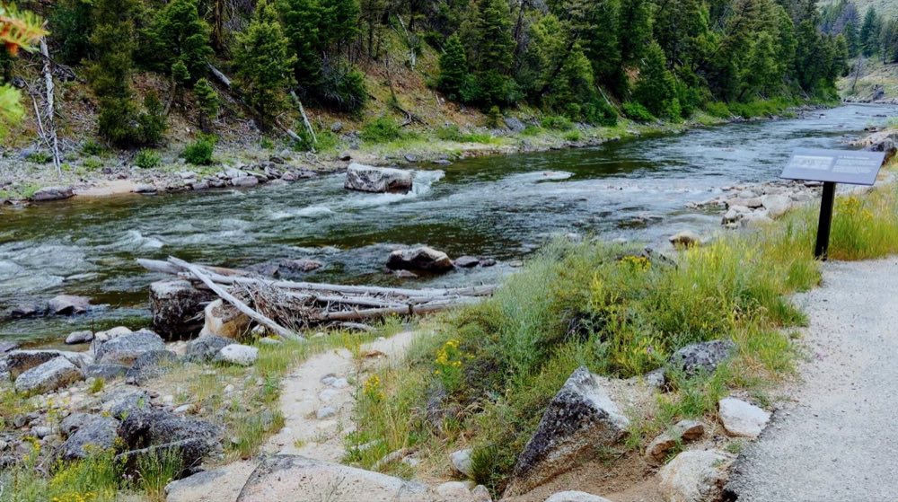
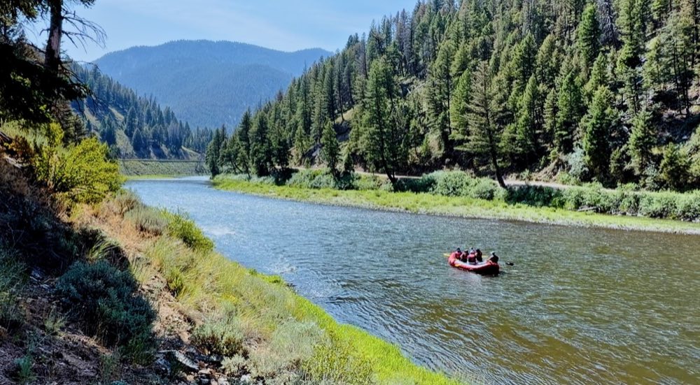
Where the moose are. Below the summit on the Mackay side, the creek slows down and spreads out: a flat bottom, beaver water, willow up over your head. Watch from the road. A cow with a calf is the one thing out here that will come to you. It’s a great ATV and UTV ride, too.
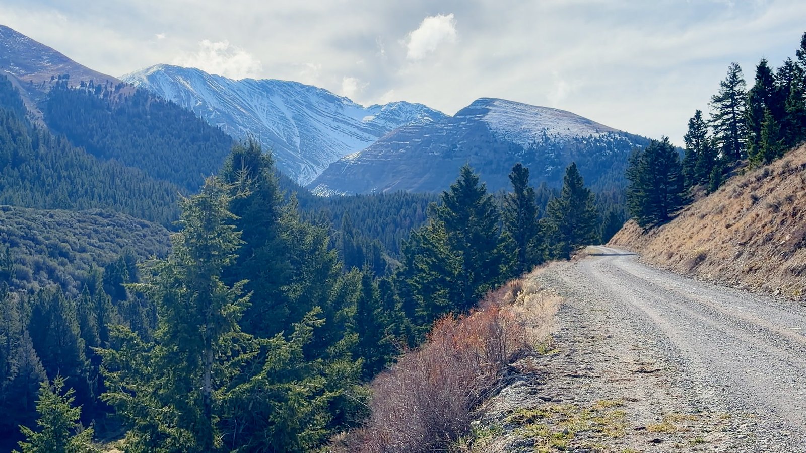
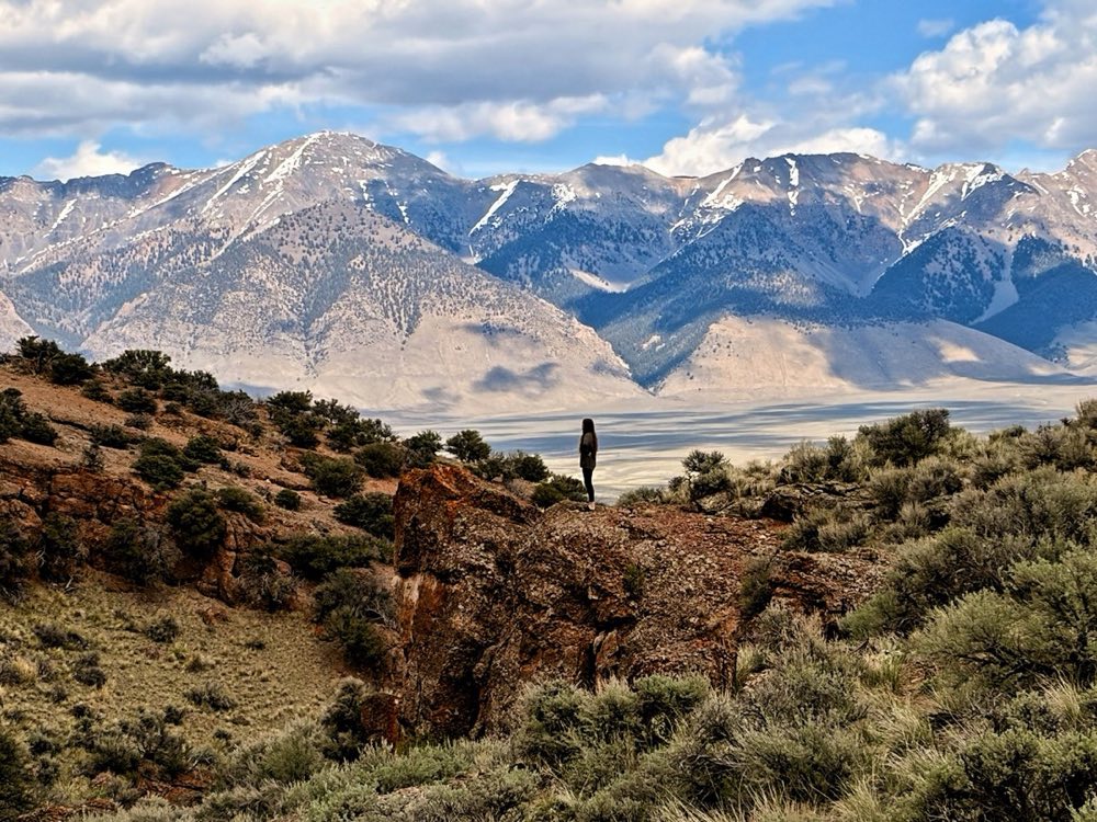
Forty miles from the Big Lost over the mountains to Sun Valley, and most of it is dirt. The pavement quits early, and the road climbs to a summit just under 7,900 feet through meadows, aspen groves, streams and beaver ponds.
The Civilian Conservation Corps built it. Company 2527, out of Ketchum, finished a job projected at five years in nine months. There is no sign up there telling you that, which feels about right for this part of Idaho.
Driving it
Any car can do this road in dry conditions. Not every car should — the surface is potholed and rocky in stretches, flats are common, and the Ketchum-side climb is genuinely narrow. Trailers and RVs are prohibited. Carry a full-size spare. There are no services of any kind for the entire length: no fuel, no water, no food, and effectively no cell signal once you leave the Sun Valley side. Fill up in Ketchum or at Sammy's in Mackay and tell somebody your route.
Five places to stop for the night
Boundary — 9 sites, $10, four miles out of Ketchum, hand-pumped drinking water, three-night limit. Phi Kappa — 21 wooded sites, $10, two vault toilets, no potable water. Park Creek — 12 sites, $10, water in summer, near the Summit Creek trailhead. Wildhorse — 13 sites, $10, up the Copper Basin spur, trailheads for Boulder Creek Lake and Wildhorse Canyon. Star Hope — 21 sites, $10, deep in Copper Basin with the creek running through it. All five are first-come, first-served. None take reservations.
Questions people ask
Is Trail Creek Road open?
It is a seasonal road. It opens between mid-May and mid-June and closes around mid-November, and the dates are set each year. Outside that window, plan on it being closed.
Can a car drive Trail Creek Road?
Any car can in dry conditions, but the surface is potholed and rocky in stretches, flats are common, and the climb on the Ketchum side is narrow. Trailers and RVs are prohibited. Carry a full-size spare.
How long does it take to drive Trail Creek Road?
One and a half to two hours without stops. Budget half a day.
Is there gas or cell service on Trail Creek Road?
No. There is no fuel, water or food for the whole length, and cell service only on the Sun Valley side. Fill up in Ketchum or at Sammy’s in Mackay and tell somebody your route.
Can you camp on Trail Creek Road?
Yes. Boundary, Phi Kappa, Park Creek, Wildhorse and Star Hope campgrounds are all $10 a night and first-come, first-served.