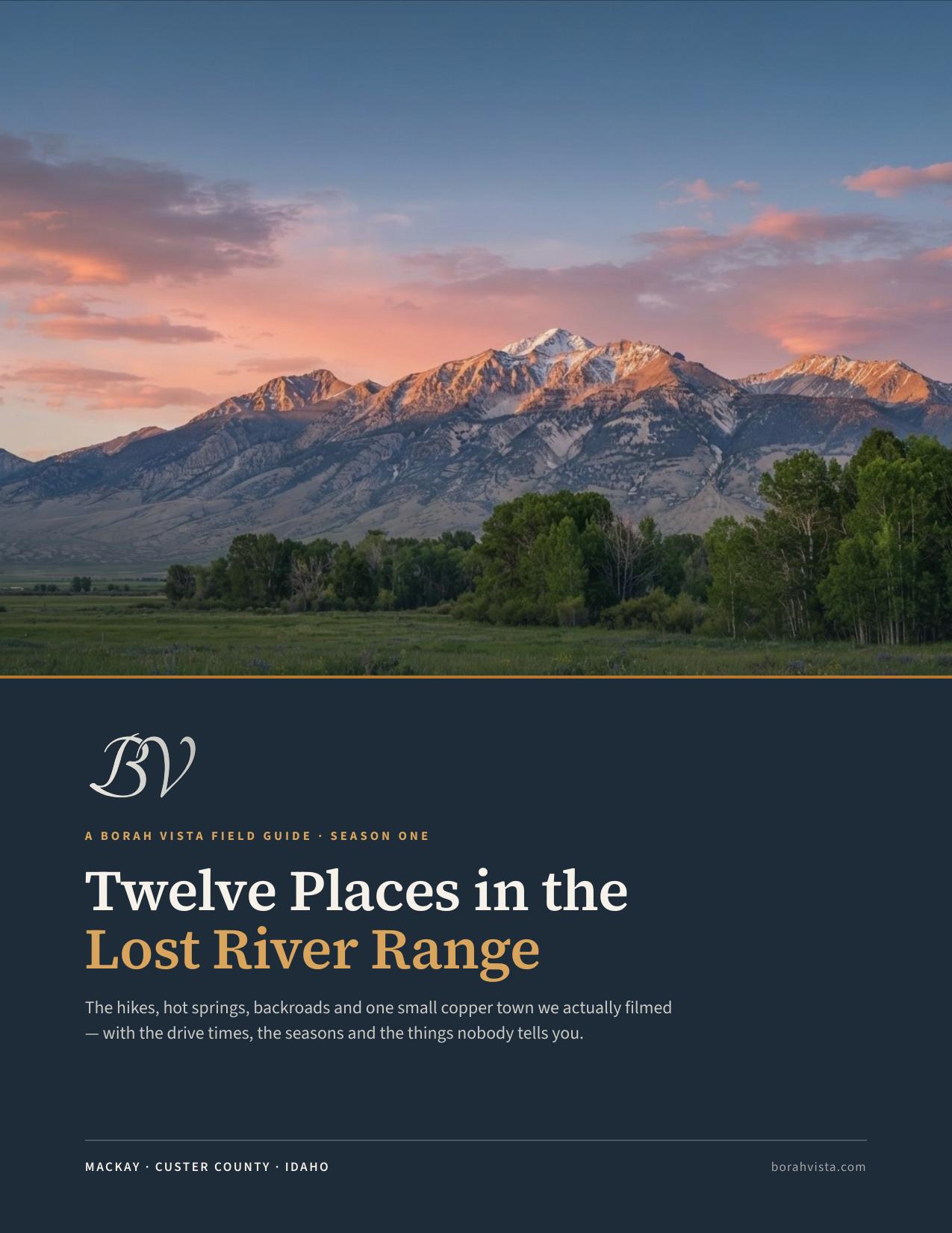
The hikes, hot springs, backroads and one small copper town we actually filmed — with the drive times, the seasons and the things nobody tells you.
Mackay sits at the bottom of the Lost River valley with the highest mountains in Idaho on one side and the Pioneers on the other. Four hundred and thirty-nine people, one blinking light, and more country within a two-hour radius than most states manage in total. These are the places we went while filming Season One.
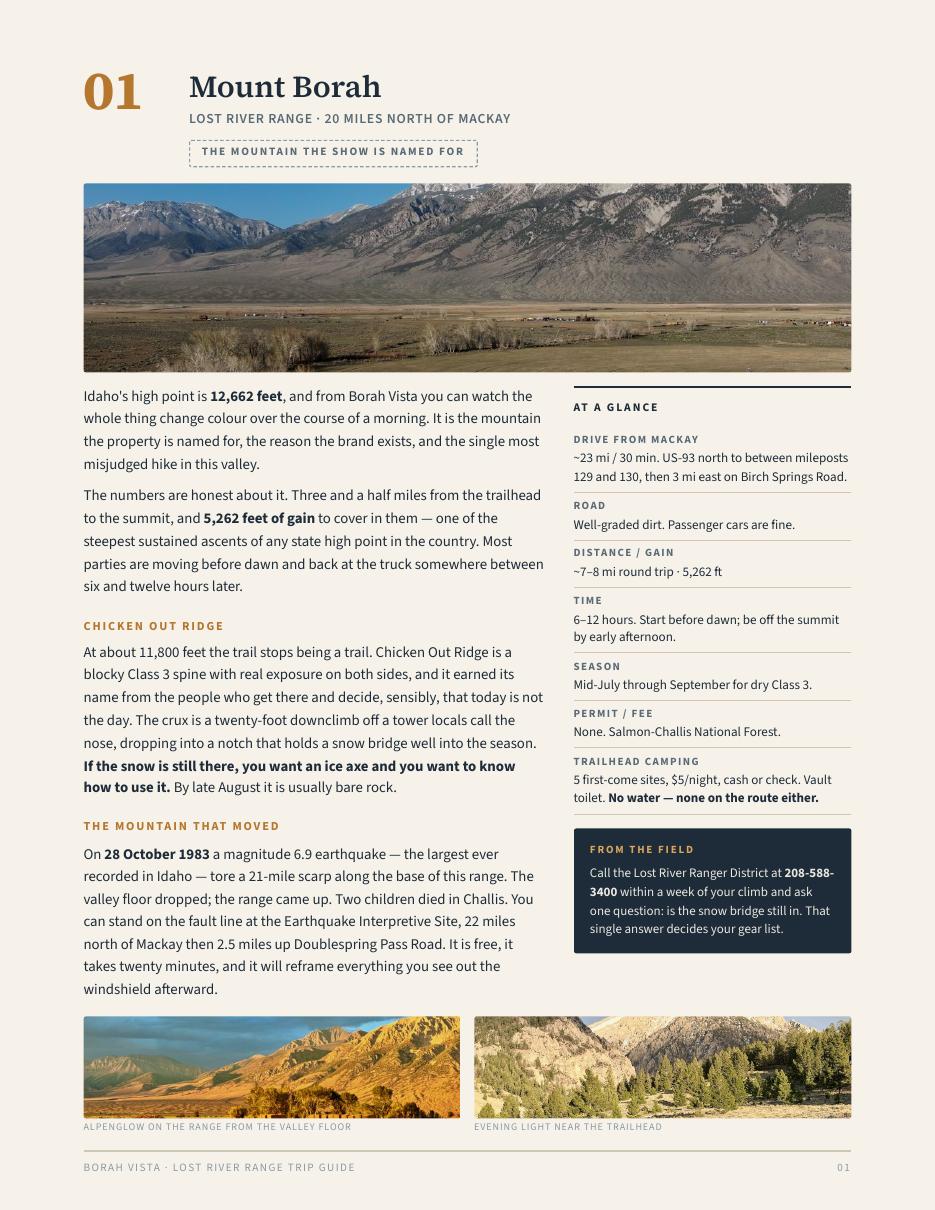
Idaho's high point, 12,662 ft. Chicken Out Ridge, the snow bridge, and the 1983 quake that moved the whole valley.
Free dispersed camping in a drainage with almost nobody in it. Moose in the willows, pronghorn on the sage below.
Forty-one miles of CCC-built gravel over a 7,896 ft summit. Five campgrounds, no services, no cell signal.
90+ miles of trail within five miles of town, a lift-served bike park on Baldy, and a shop that delivers the bike to you.
A copper town from 1901. The free Mine Hill Tour, the Lost River Museum, and 1,392 acres of reservoir against the range.
Free roadside pools you mix yourself with river rock, under a 1937 CCC bathhouse that has not worked since the war.
Twelve miles of Class II–III through a granite canyon, three hours, and an outfitter sitting right at the put-in.
The developed counterweight to Sunbeam — two pools, a lawn, flush toilets. Idaho bought it from the Hammonds in 2023.
An hour of eroded volcanic canyon without meeting another vehicle, and a BLM herd of wild horses that will stand in the road.
Bighorn sheep on the rock above the road and free BLM camping along the creek.
A 988-ton machine sitting in the creek bottom where somebody left it in 1953 — four storeys tall, seventy-one steel buckets, three men a shift around the clock.
A town that had six hundred people in it and now has none. The best-preserved ghost town in this part of Idaho, and one of the few you can walk through for free at any hour.
Plus five more if you have the days — Earthquake Interpretive Site — the 1983 fault scarp · Craters of the Moon · Galena Summit Overlook · Copper Basin · Pass Creek Narrows.
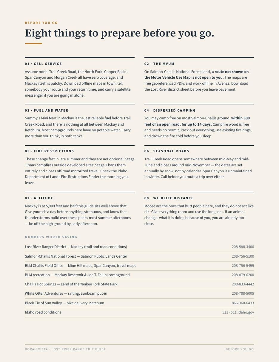
Drive time, road surface, season, cost and cautions on every entry — then the thing we would actually tell a friend. Drive Trail Creek west to east in the late afternoon so you drop into the valley with Borah lit up ahead. Call the ranger district and ask one question: is the snow bridge still in.


Empty campgrounds, cold nights, gold aspen, and the roads are all still open. The guide has the full month-by-month on its last page.
Reservoir, Mine Hill, the museum opens. Trail Creek still closed.
Trail Creek opens. Big water on the Salmon. Borah still snowy.
Everything open. Baldy lift-served biking starts. Rodeo weekend.
Best Borah window. Warm springs, low rivers, flash-flood risk.
The sweet spot. Empty campgrounds, cold nights, gold aspen.
Hot springs season. Roads start closing. Check before you drive.
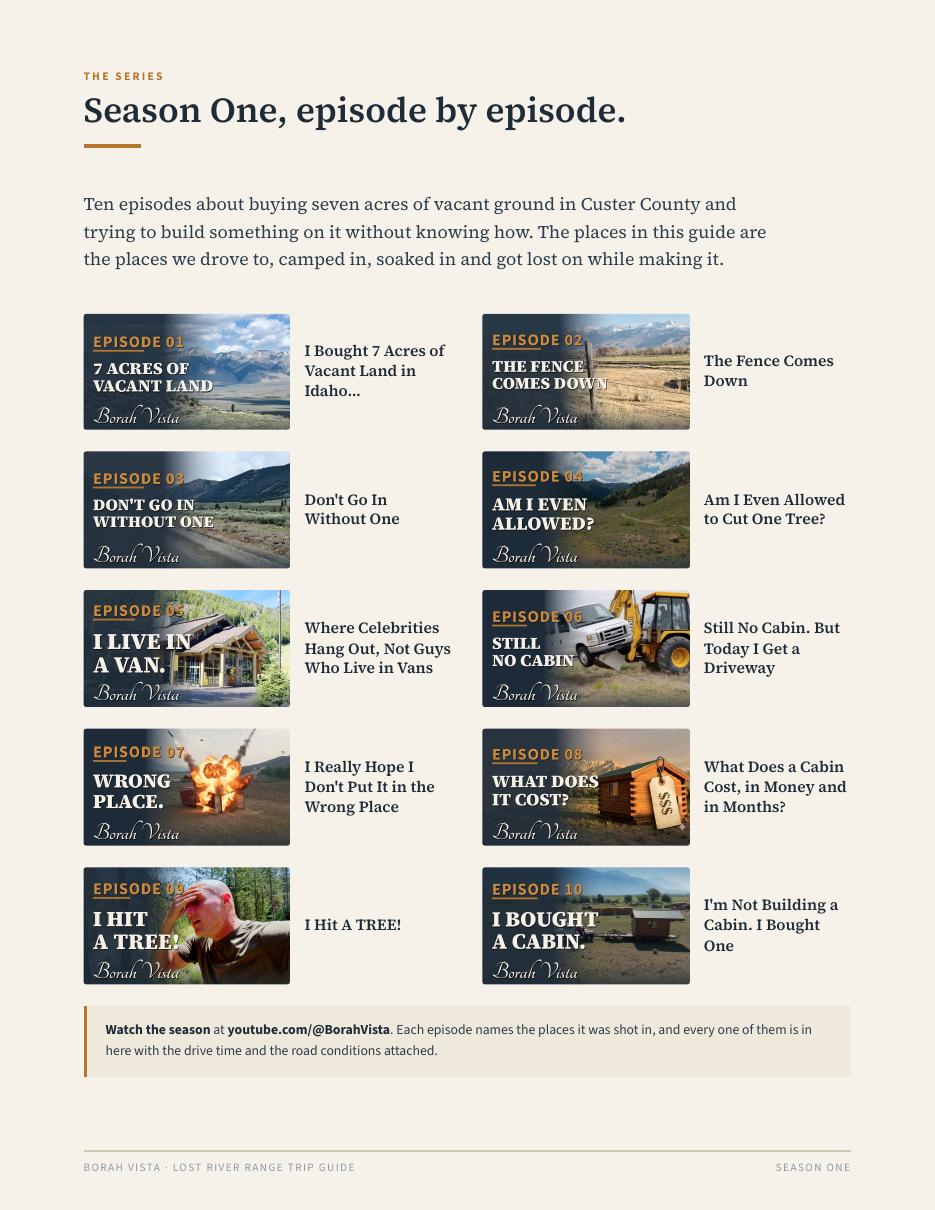
We are building something out here — seven acres of vacant ground north of Mackay, a hand-built log cabin, and a slow education in what it takes to make a place out of a piece of dirt. That's the show. This guide is the part of it you can actually use.
Everything in it is somewhere we went with a camera. The outfitters, shops and campgrounds are named because we used them, not because anyone paid — nothing in this guide is a paid placement and it says so on the page. Borah Vista promotes non-consumptive recreation only: hiking, paddling, soaking, driving, and photographing wildlife from a distance that doesn't change what the animal is doing.
Nothing. It is free in exchange for an email address, and it stays free. Nothing in it is a paid placement — the outfitters, shops and campgrounds named in it are places we actually used, and none of them paid to be there.
A 17-page PDF with 51 photographs. Twelve places, one page each, with drive time from Mackay, road surface, season, cost and cautions for every one — plus eight things to prepare before you go and the phone numbers worth saving.
No. Roughly one email a month: new spots, conditions from the valley, and first word when the cabin opens to guests. You get the updated guide each season as the list grows. Unsubscribe in one click.
For most of it, no. Every entry says plainly what the road actually is and what your car can handle — passenger cars are fine on Trail Creek Road, Spar Canyon and the Borah trailhead approach in dry conditions. Where clearance genuinely matters, the guide says so.
September, if you can pick. Empty campgrounds, cold nights, gold aspen, and the roads are all still open. August is the reliable Mount Borah window. The guide has a month-by-month strip on the last page.
No, deliberately. Borah Vista promotes non-consumptive recreation only — hiking, paddling, soaking, driving, and photographing wildlife from a distance that does not change what the animal is doing.
Go north on 93 until the range fills the windshield.
Free. No paid placements in it. Unsubscribe in one click.