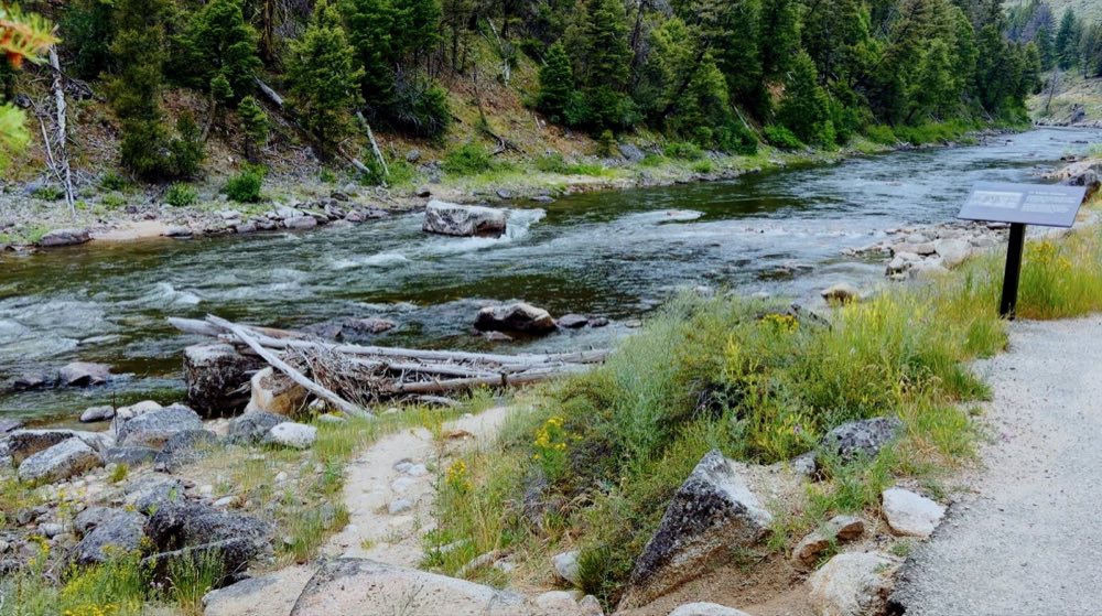
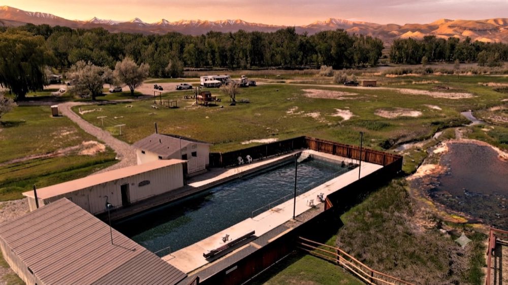
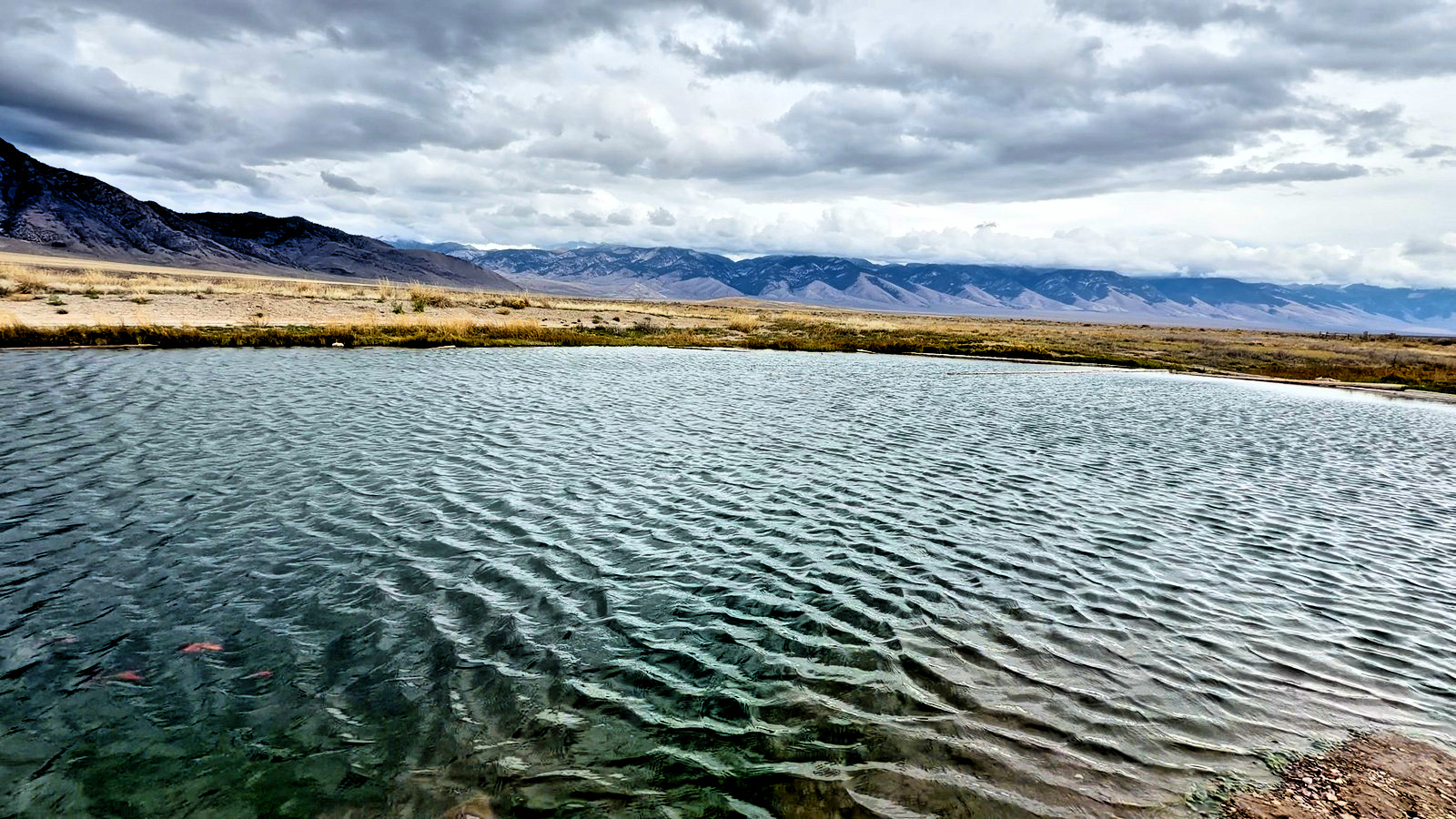
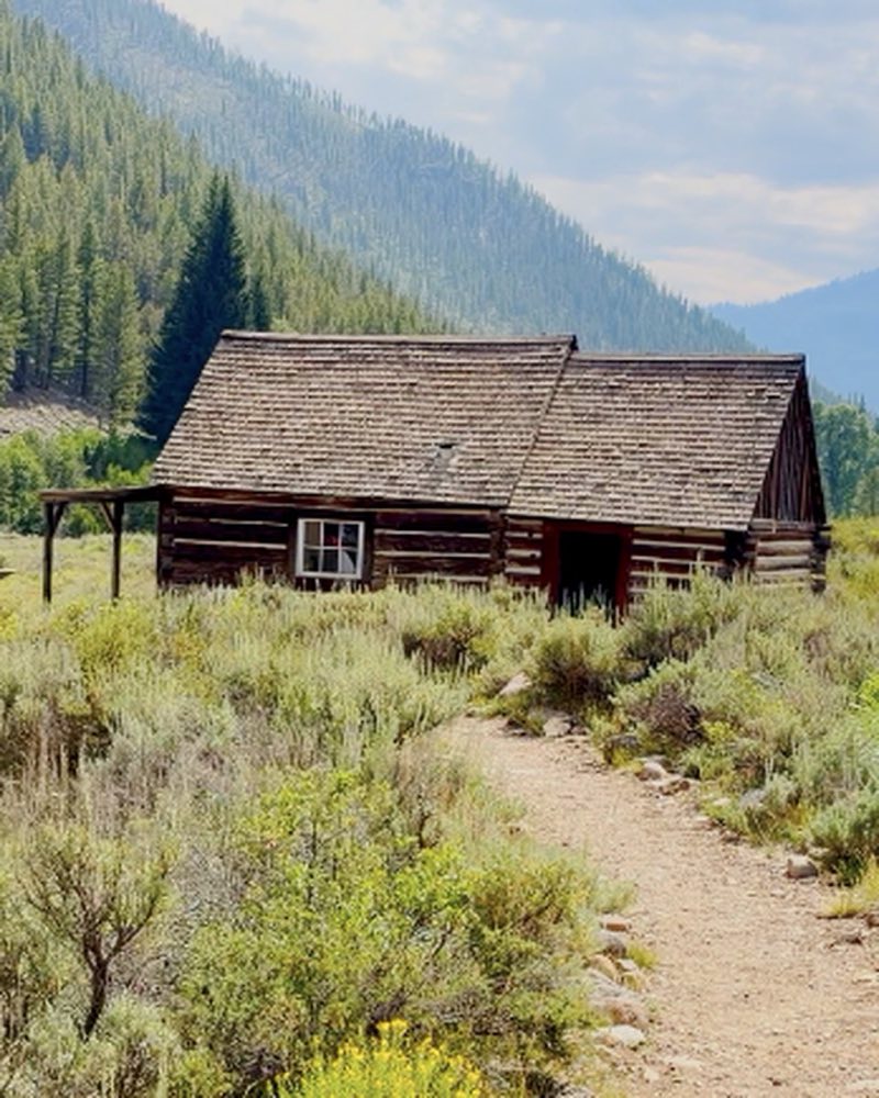
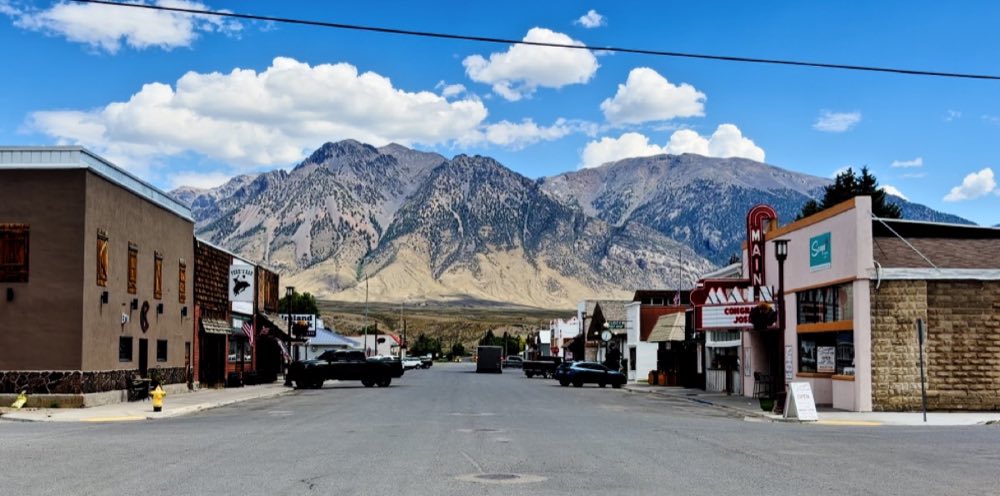
Twenty places within a day’s drive of Mackay, under the Lost River Range: hot springs, ghost towns, back roads, ATV and UTV rides, and Idaho’s high point. Each one has its own page with what makes it worth the trip, how to get there, and an At a glance box with the road, the season and what it costs.
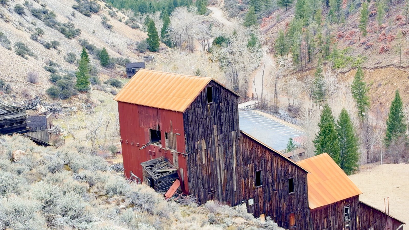
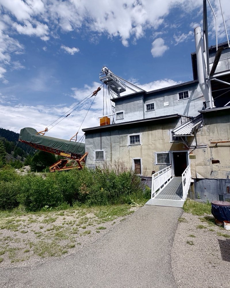
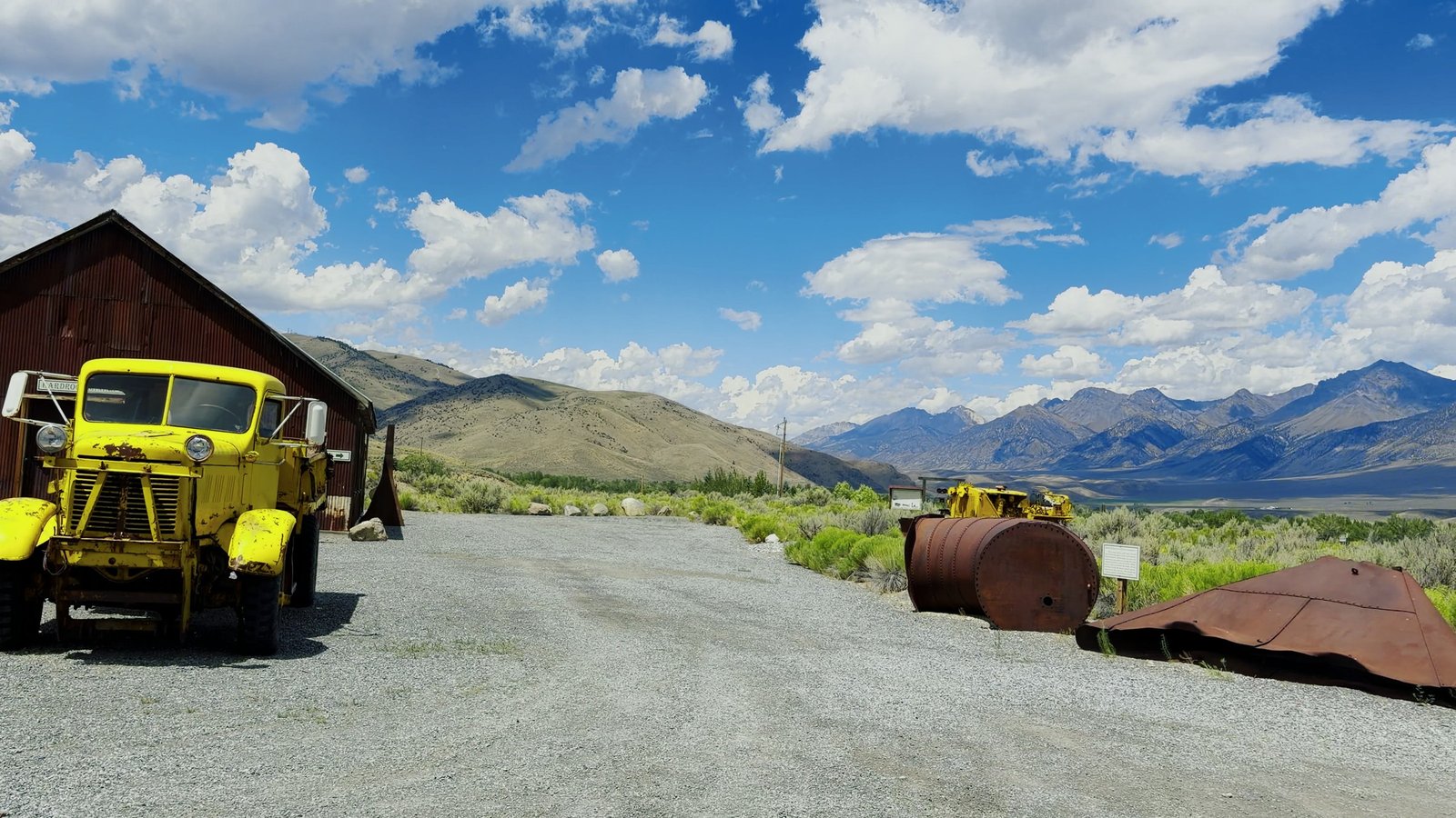 Mine Hill & White Knob Mackay · the Mackay Mine Hill Tour
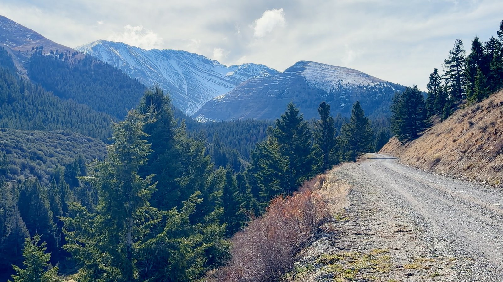 Doublespring Pass Lost River Range · just north of Mount Borah
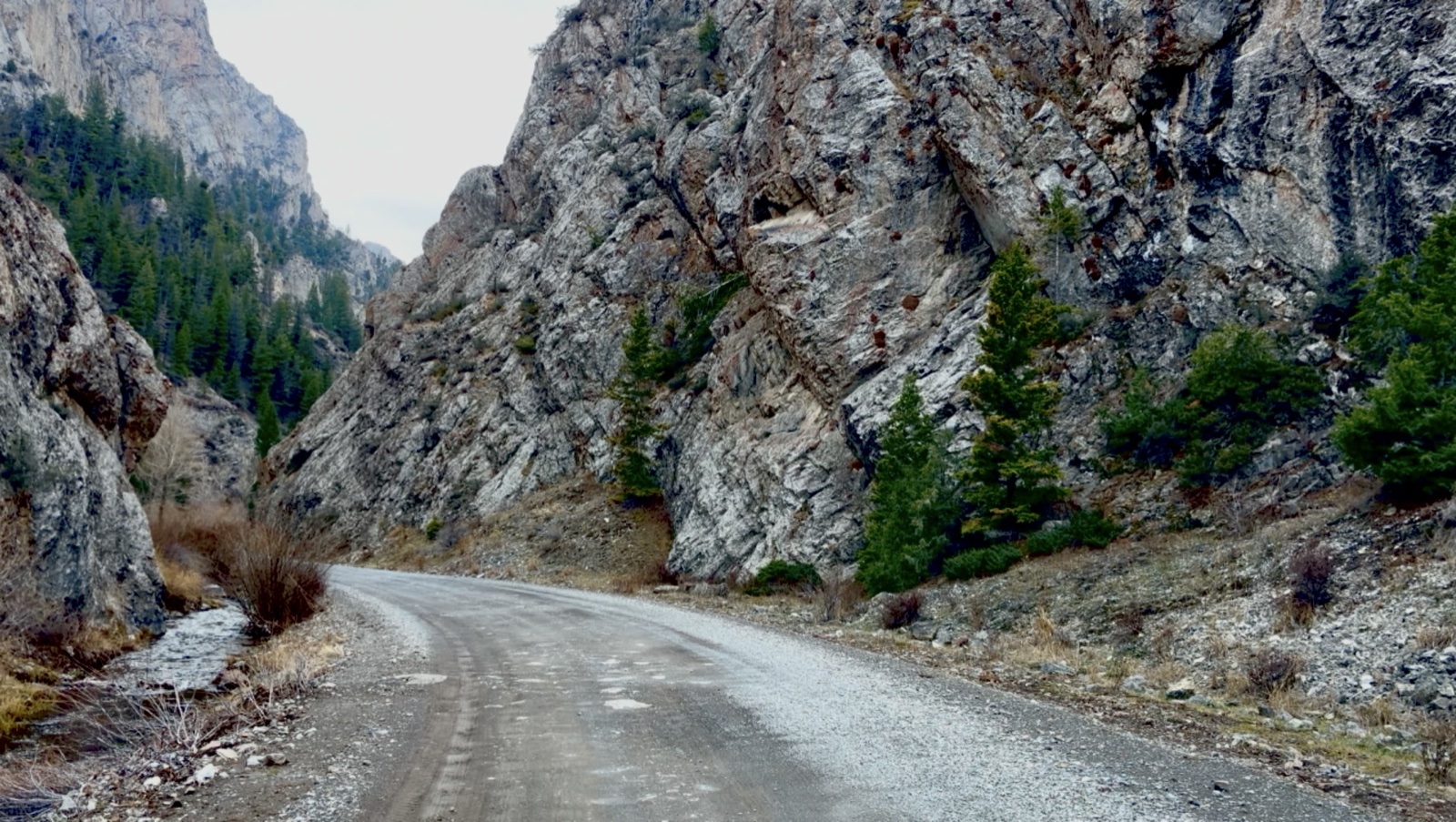 Pass Creek Canyon Lost River Range · south of Mackay
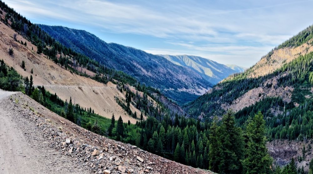 Trail Creek Road Forest Road 208 · Mackay to Sun Valley over the Pioneers
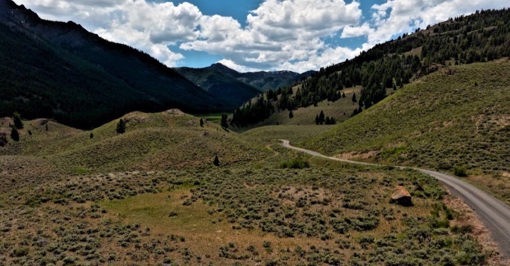 North Fork of the Big Lost Salmon-Challis National Forest · off Trail Creek Road Trail Creek Road Forest Road 208 · Mackay to Sun Valley over the Pioneers North Fork of the Big Lost Salmon-Challis National Forest · off Trail Creek Road
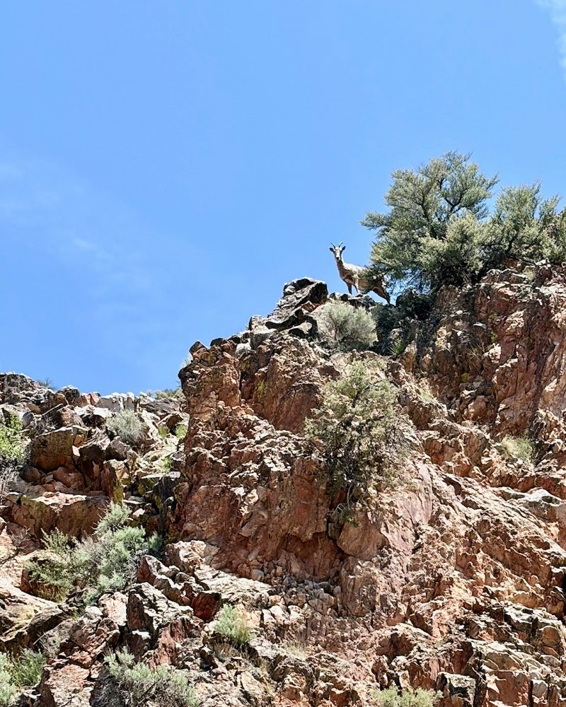 Morgan Creek Road Forest Road 055 · north of Challis
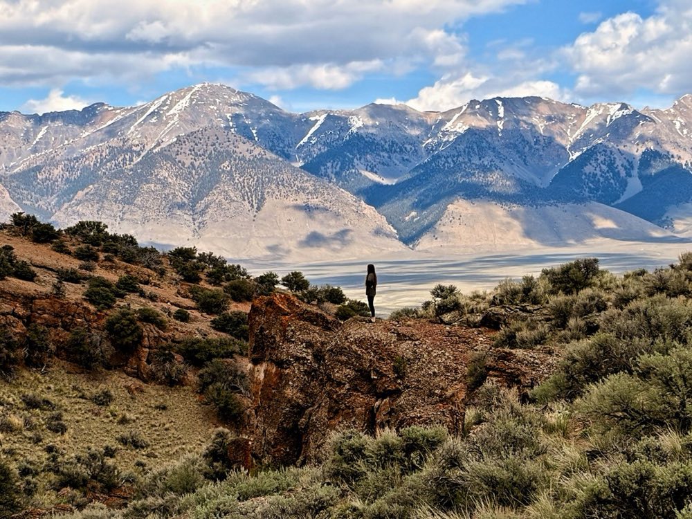 Spar Canyon Road BLM Challis · off US-93 north of Mackay Pass Creek Canyon Lost River Range · south of Mackay
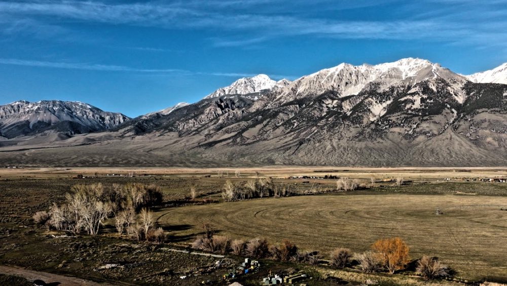 Mount Borah Lost River Range · US-93 north of Mackay
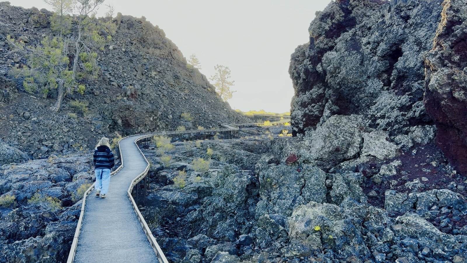 Craters of the Moon National Monument & Preserve · past Arco
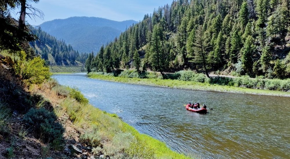 Whitewater at Stanley The Salmon River · Sunbeam to Stanley
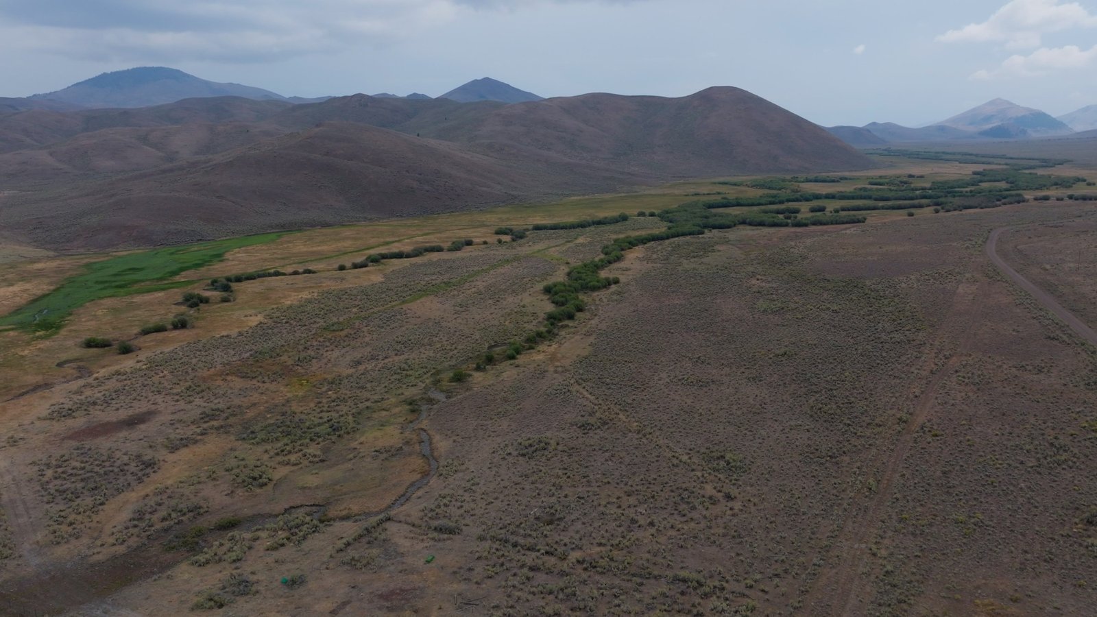 King Mountain Moore · the King Mountain Glider Park
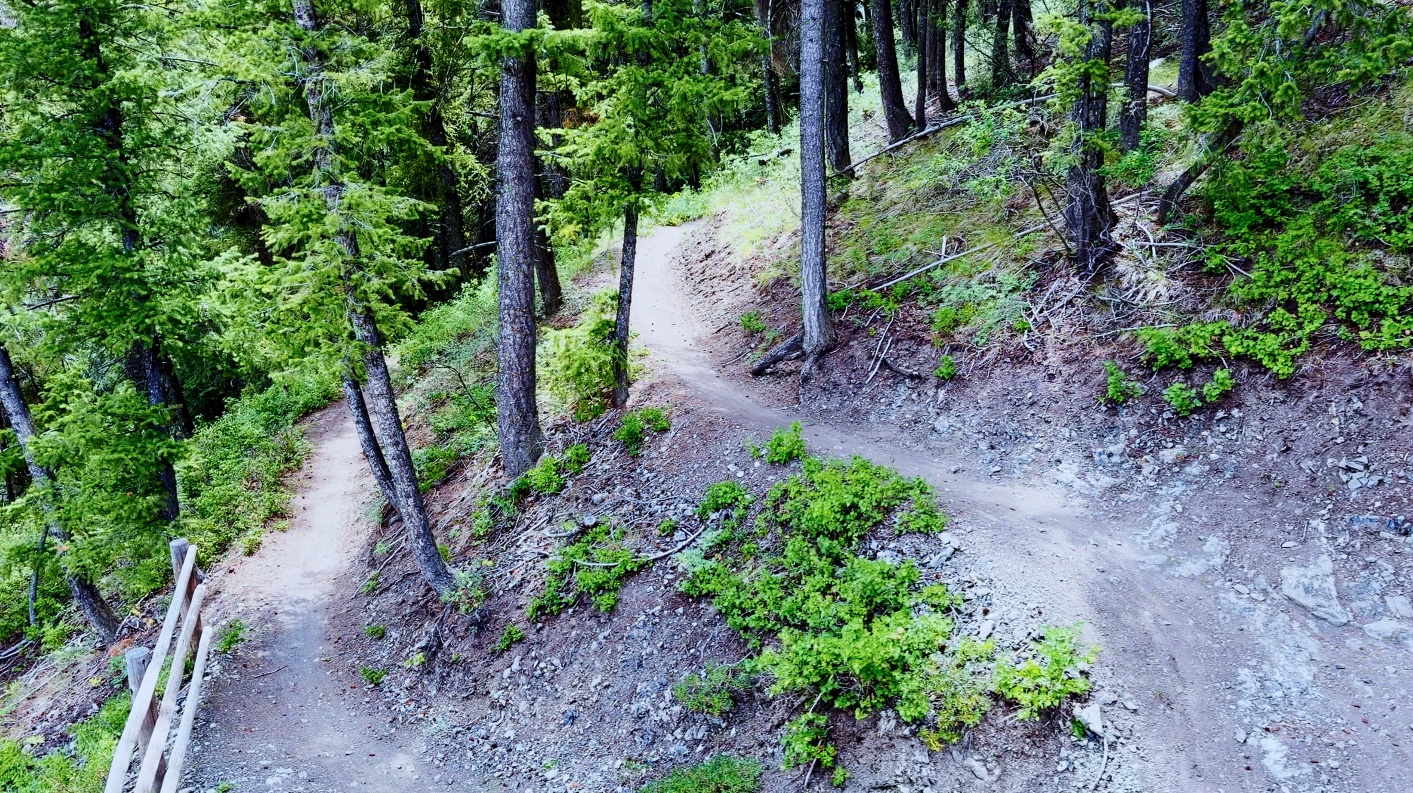 Mountain Biking Sun Valley Ketchum · over Trail Creek Road
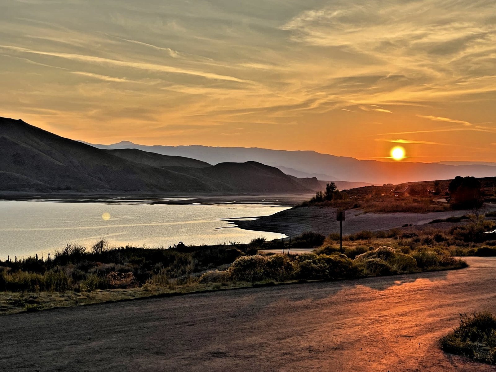 Mackay Reservoir US-93 · just north of Mackay
24 pages, 17 places, free. One email a month after that — new spots, conditions from the valley, and what is worth driving to next.
Free. No paid placements in it. Unsubscribe in one click.
Tell us what you'd like to do, your dates and your budget. We'll email you a plan and connect you with local outfitters and lodges. Free.