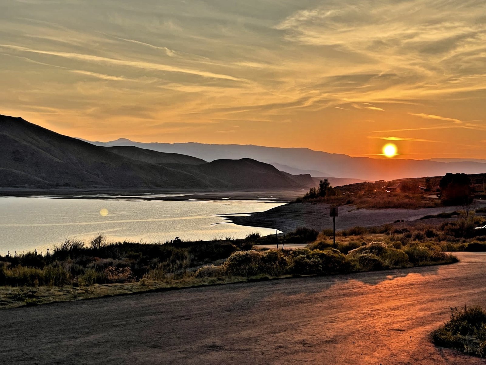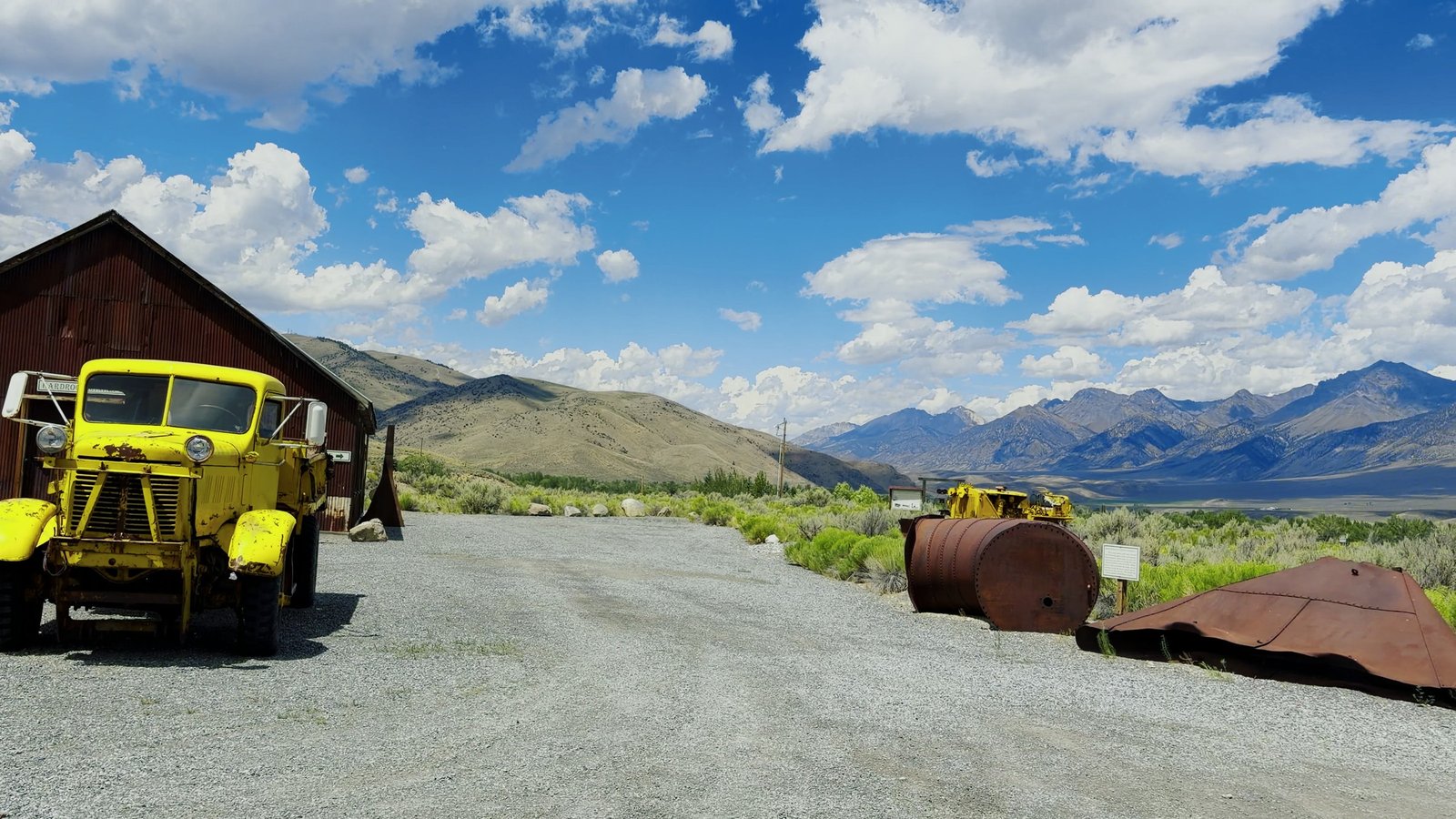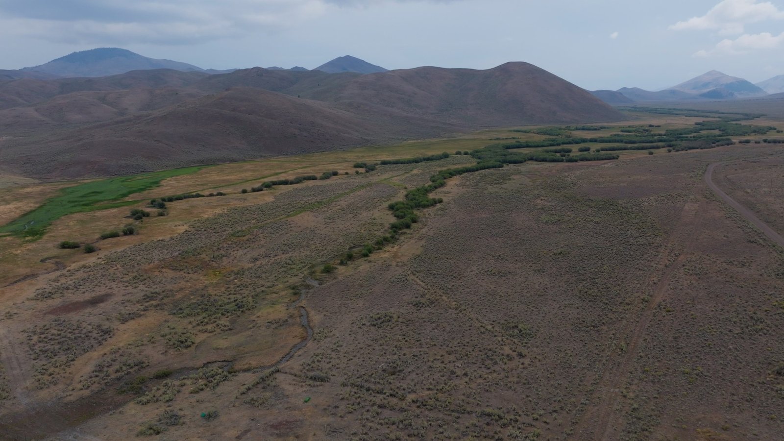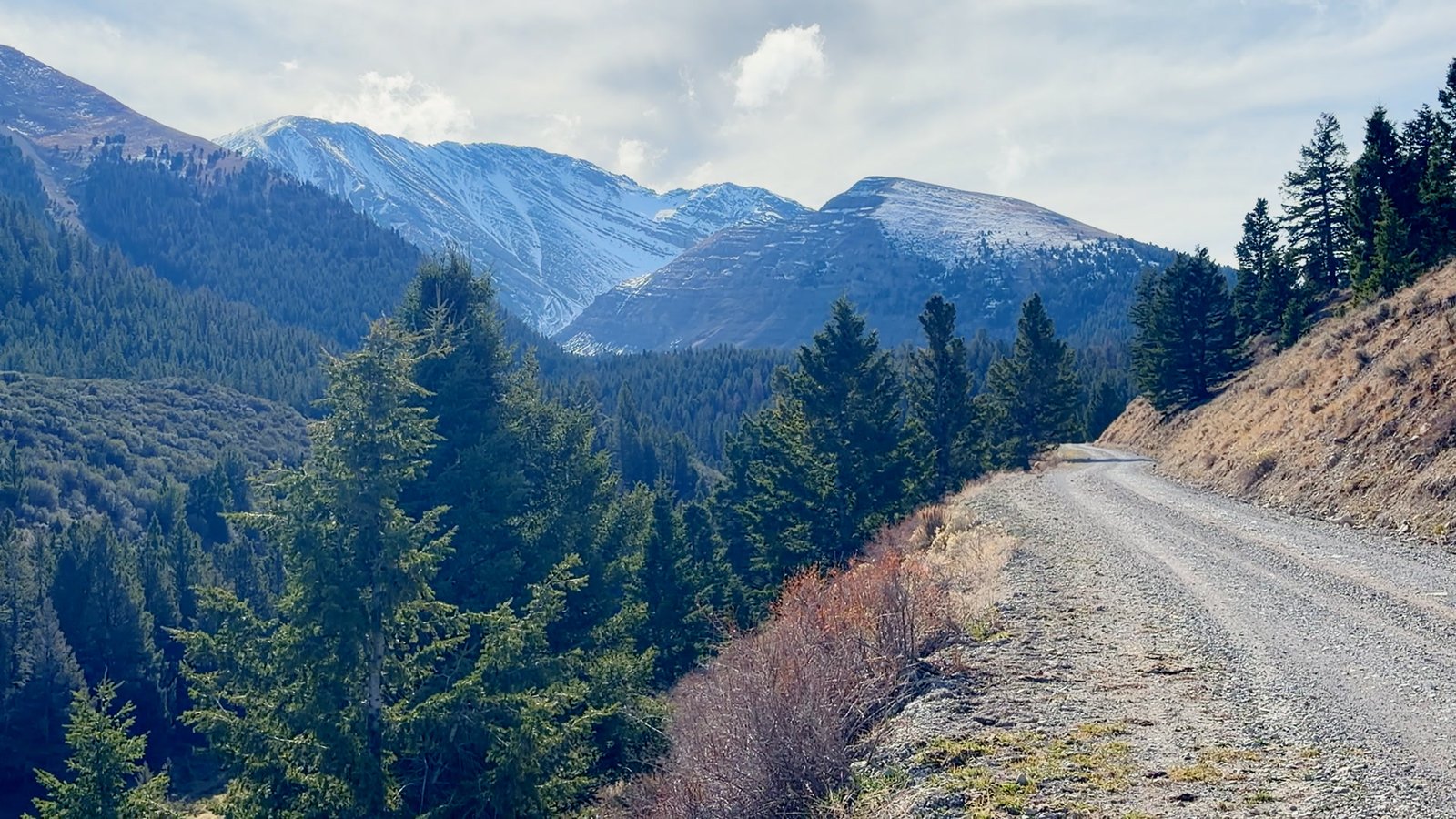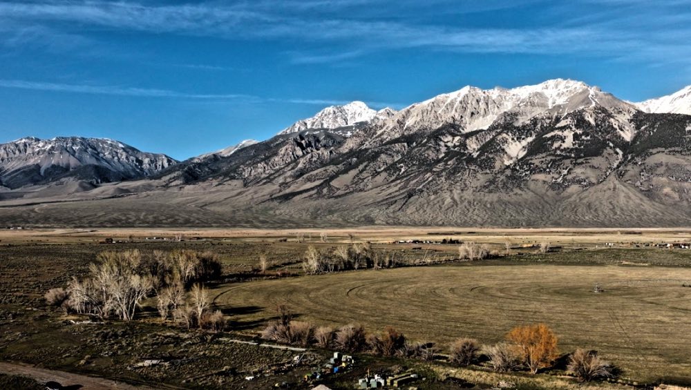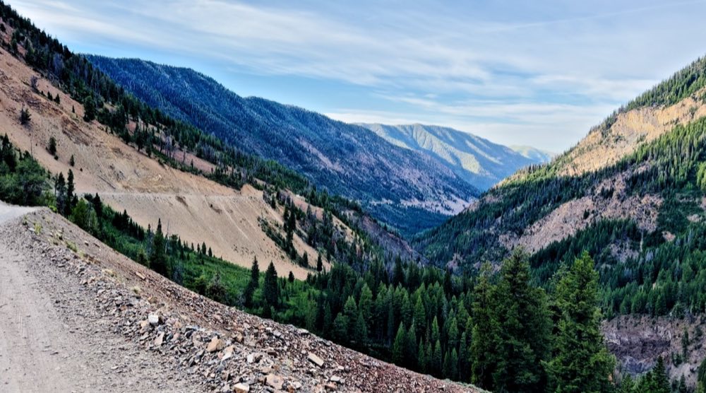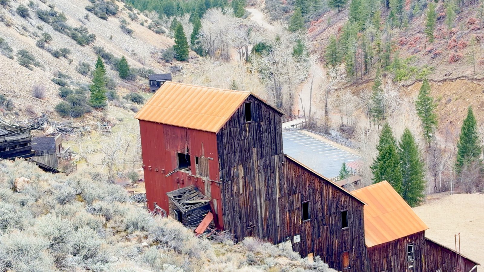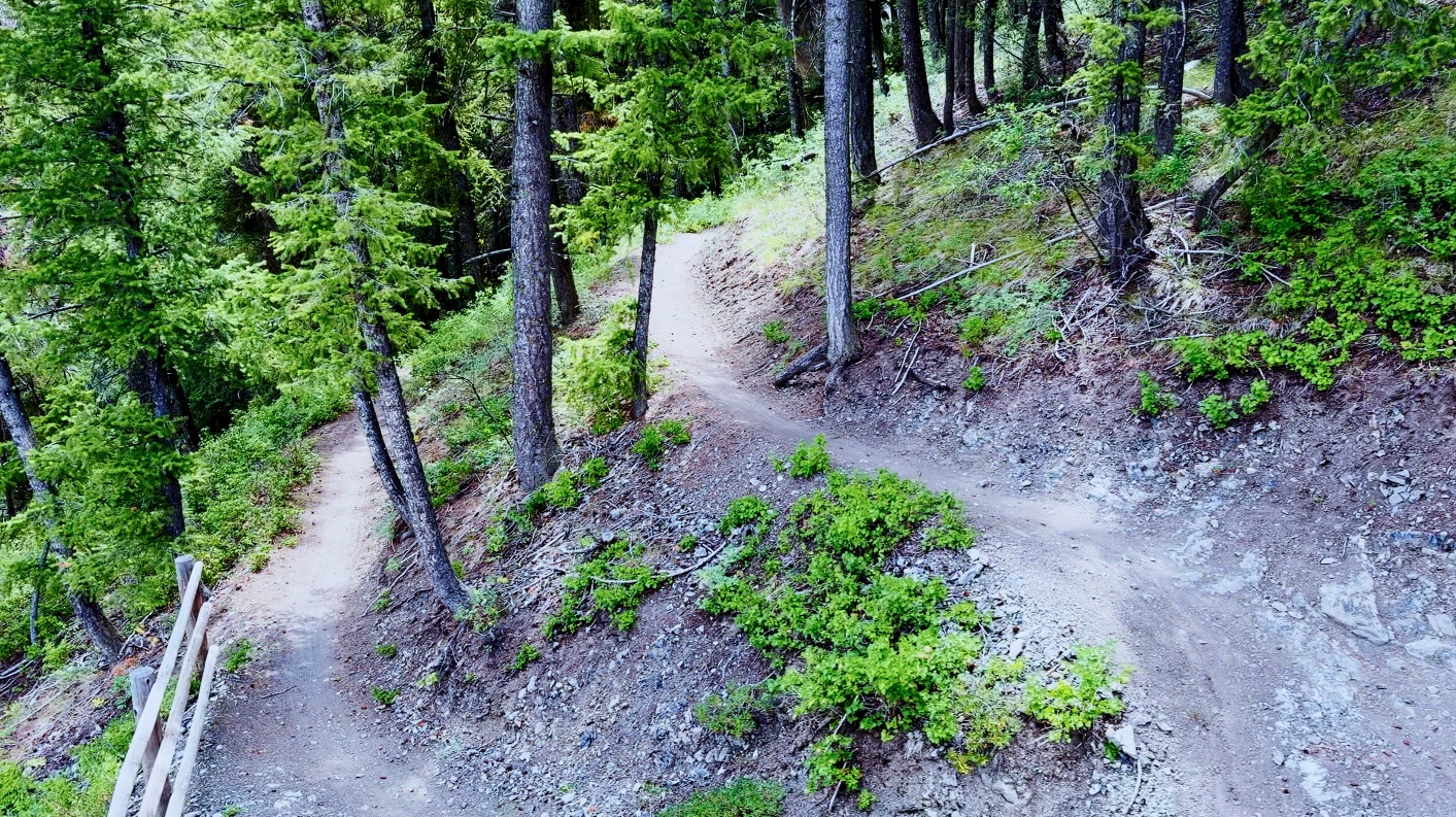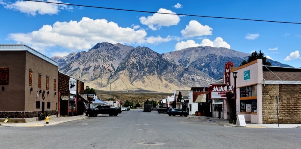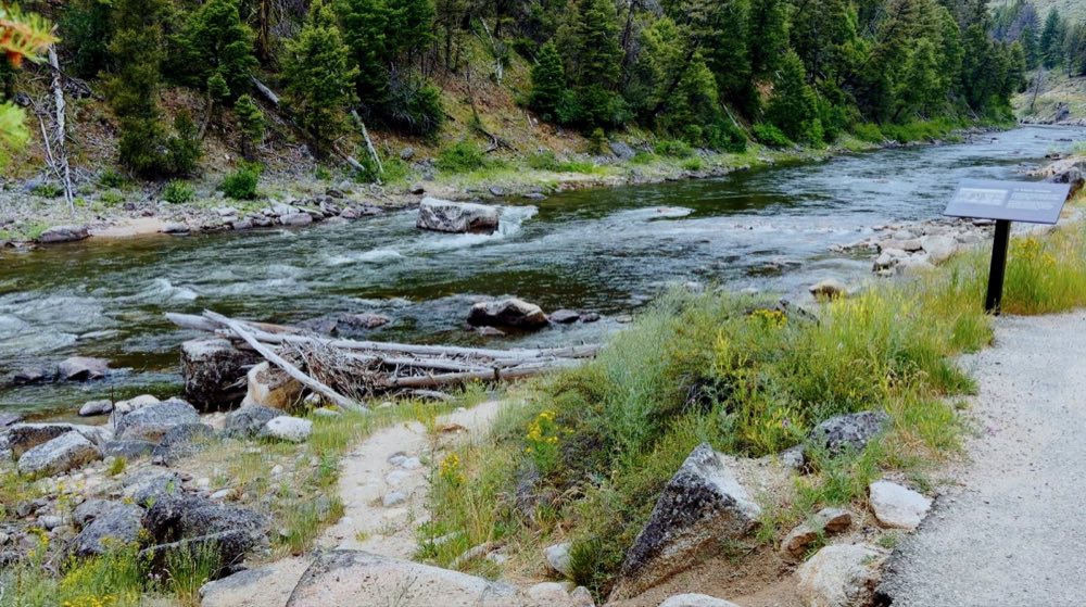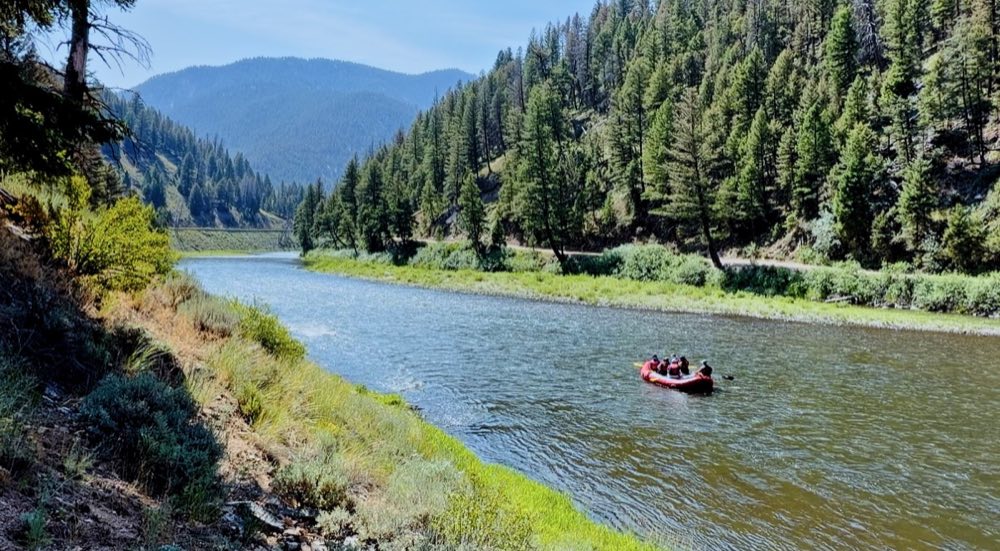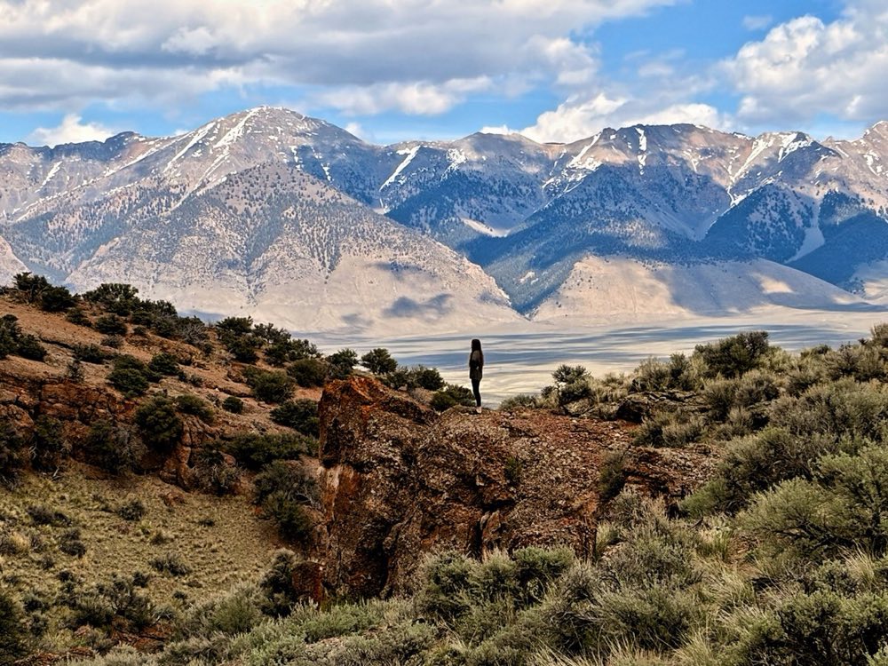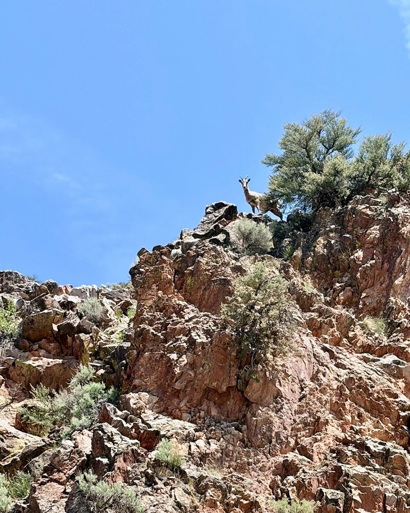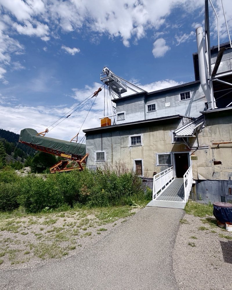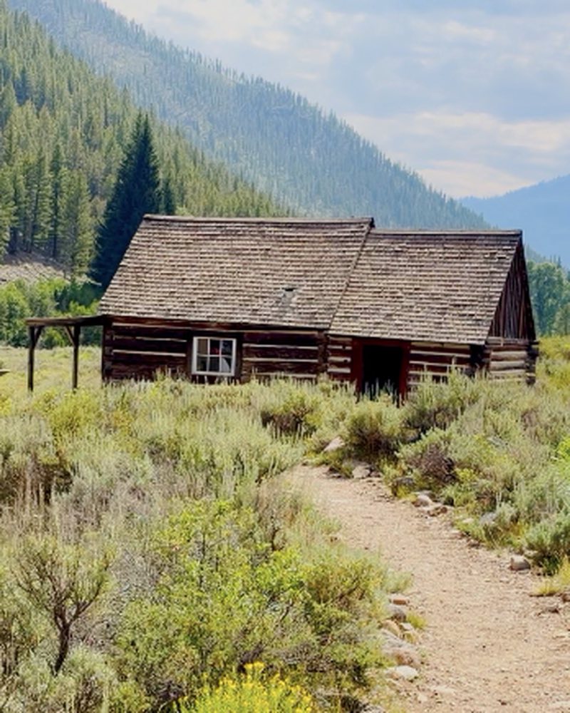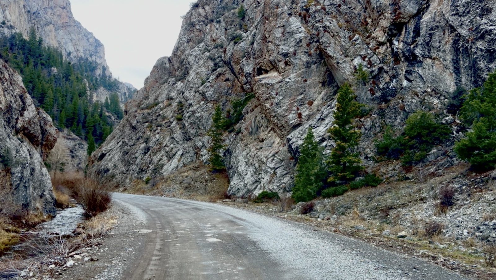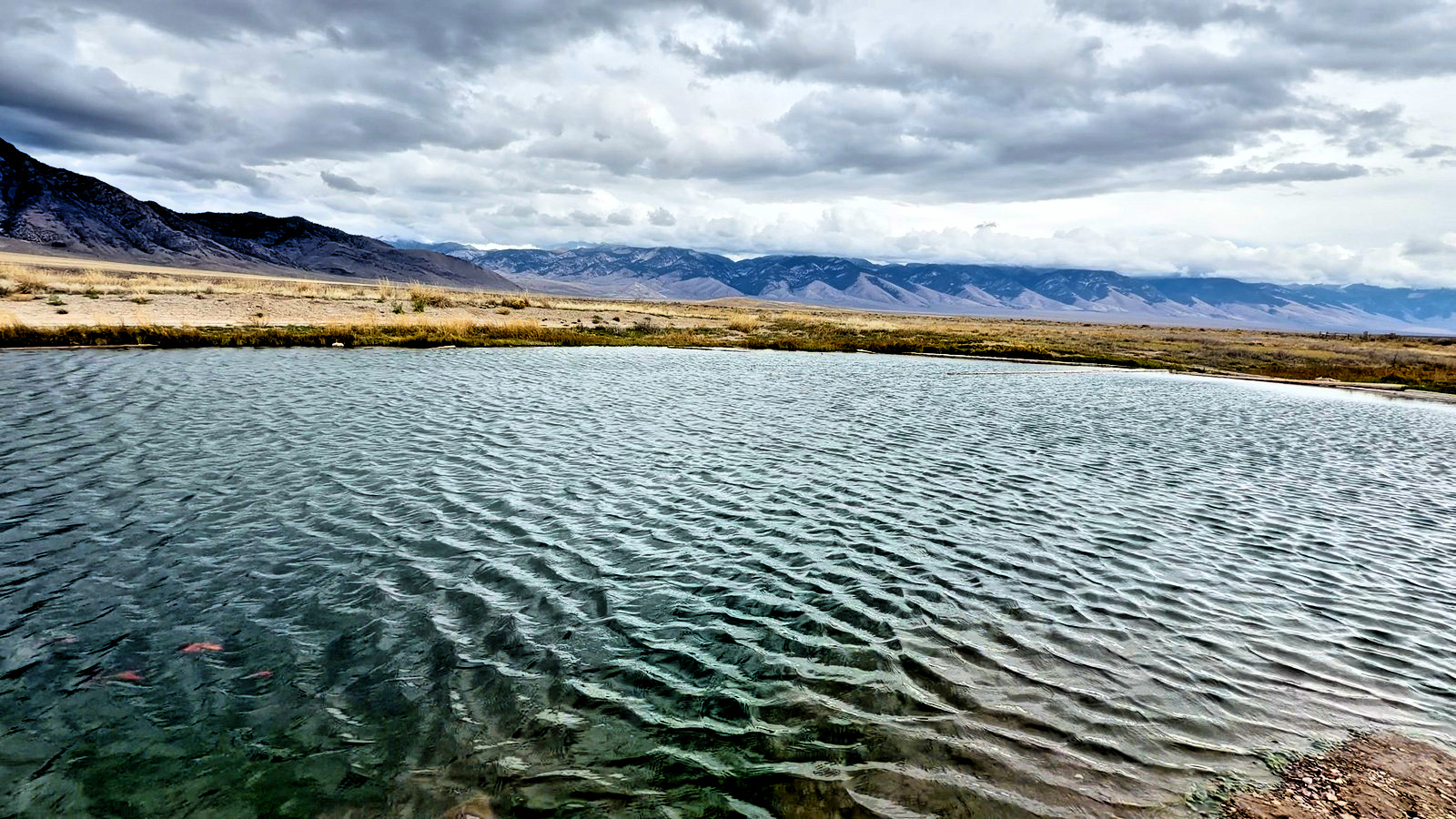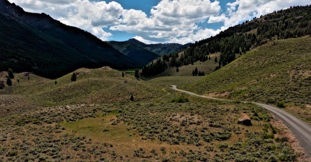
A road that doesn’t go anywhere, and that’s the point: twelve and a half miles into the Pioneers with almost nobody in it, moose in the willows and pronghorn on the sage below. Free camping all the way up, and a good ride on the ATV or UTV.
A little past the bridge on Trail Creek Road, the North Fork road turns west and climbs from about 7,100 feet to nearly 7,800, and then it stops. The bull moose in our film was a little more than halfway up, in the creek bottom.
First thing to get right: this is not the town of North Fork. Type that into your phone and it will send you four hours north to the Salmon River. The North Fork that matters here is a fork of the Big Lost, tucked off Trail Creek Road in the high country west of Mackay, and it is the closest thing this valley has to a secret.
The road in is good — genuinely good, passable in a normal car — until it reaches a gate. Past that you want clearance, or a bike, or your feet. What you get in exchange is a drainage with almost nobody in it: willow bottoms along the water, timber climbing away on both sides, and a maze of side roads that will absolutely get you lost if you have not downloaded the Forest Service motor vehicle use map before you left cell service. Do that. Routes not on the MVUM are not open to you.
Camping
There is no developed campground on the North Fork itself — no toilets, no water, no host. This is dispersed camping, which on the Salmon-Challis means you may pull off and camp free of charge within 300 feet of an open road, for up to 14 days. Firewood for a campfire is free and needs no permit. Pack out everything, including the ashes of what you did not burn.
What lives here
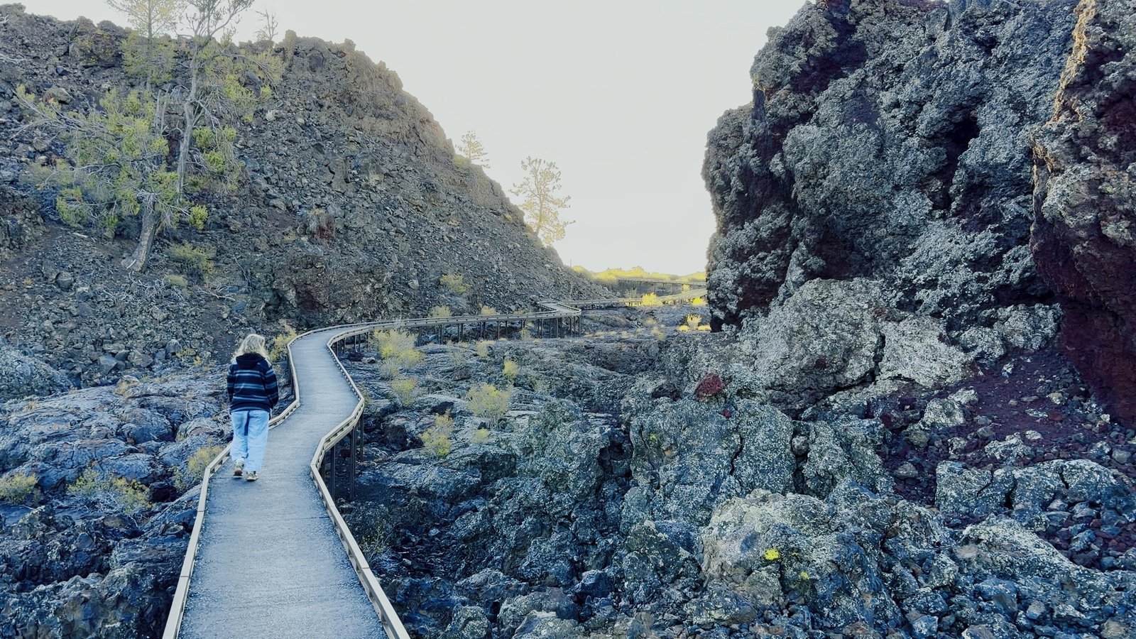
This drainage sits inside Idaho Fish and Game's Unit 50 — elk on the timbered slopes, moose in the willows along the creek, pronghorn out on the open sage of the basin below. The pronghorn are the story worth knowing: some of them walk more than eighty miles each way between their winter range and these valleys, single-file through the narrowest neck of Craters of the Moon. Give them room. Use the long lens.