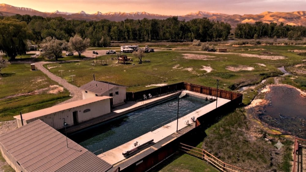
Sunbeam Hot Springs is a free roadside hot spring on the Salmon River, on Highway 75 about 12 miles east of Stanley, Idaho. The water leaves the hillside at close to 160 degrees and you mix it with river water in rock pools to between 100 and 110. The best months are June through October.
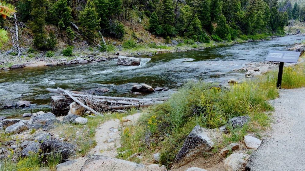
Hot water comes out of the hillside at close to 160 degrees and lands in rock-walled pools on the bank of the Salmon River. You mix it yourself, moving a rock to let the cold river in, until it’s somewhere around 105. It is free, and it always has been.
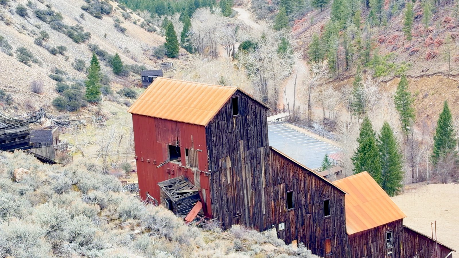
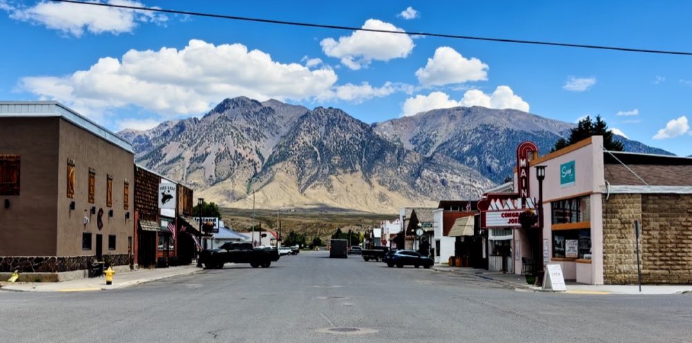
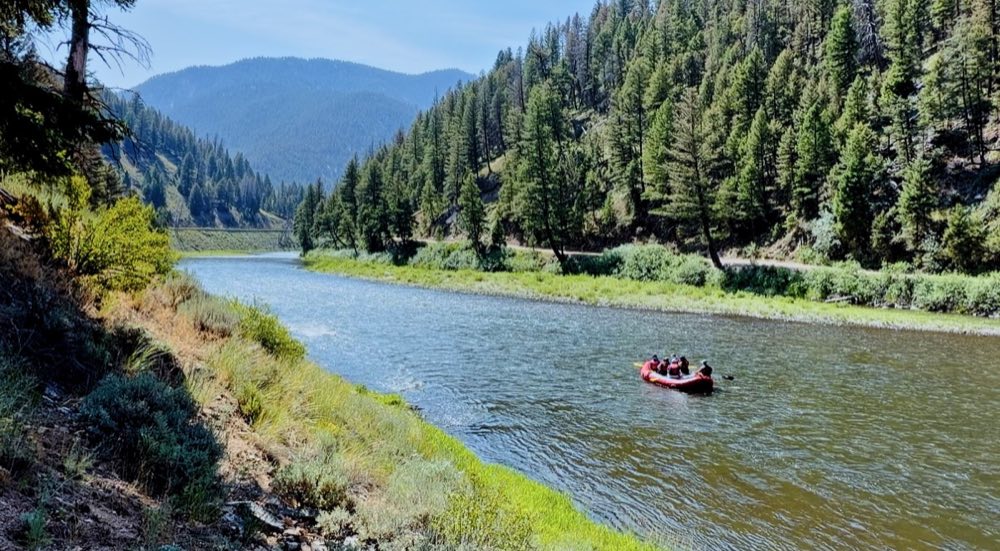
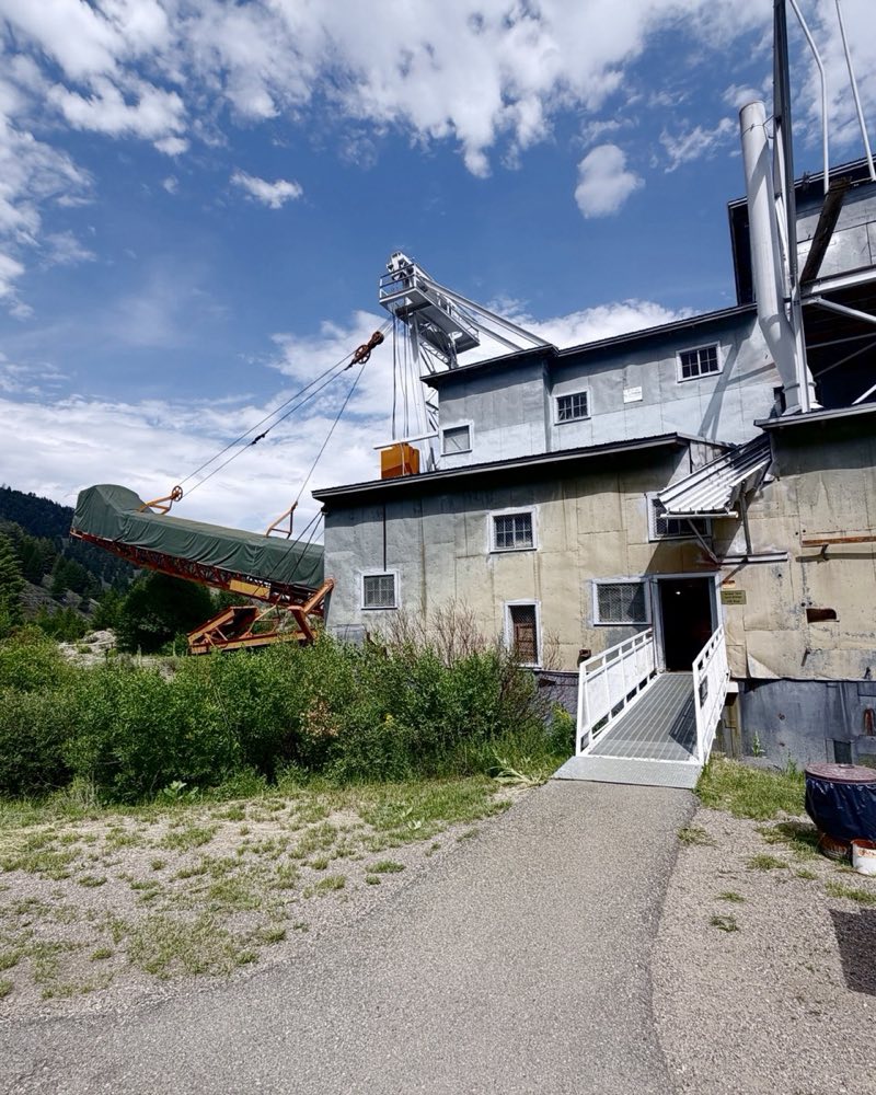
Take US-93 to Challis, then Highway 75 up the Salmon, about twelve miles short of Stanley. Pair it with the rafting, and with the dredge and Custer up the Yankee Fork.
The bathhouse
The concrete structure on the platform above the pools was built in 1937 by Civilian Conservation Corps enrollees out of the Clayton camp, with two stairways down from the road. It has not worked as a bathhouse since the Second World War pulled the labor away. It stands there anyway, and most people use it to change.
Getting it right
Come early on a weekday — this is a roadside spring twelve miles from Stanley and it fills up. Come June through October: spring runoff submerges the pools entirely and the current here in high water is dangerous, not just cold. Wear a suit; you are visible from the highway and this is a family spot. No glass, no soap, nothing on your skin in the water. Leave the rocks where the last person put them.
Questions people ask
How do you get to Sunbeam Hot Springs?
It is on Highway 75 about 12 miles east of Stanley, at a paved pullout that holds 8 to 10 vehicles. From Mackay it is about 2 hours: US-93 north to Challis, then Highway 75 up the Salmon River.
Is Sunbeam Hot Springs free?
Yes. There is a vault toilet (bring your own paper) and no drinking water.
When is the best time to go to Sunbeam Hot Springs?
June through October, early in the morning on a weekday. In spring runoff the river covers the pools and the current is dangerous.
How hot is Sunbeam Hot Springs?
The source is up to about 160 degrees. Mixed with river water, the pools are usually 100 to 110.
What are the rules at Sunbeam Hot Springs?
Wear a swimsuit: the pools are in view of the highway. No glass and nothing soapy in the water. Pack out what you bring.