Custer is a gold-mining ghost town on the Yankee Fork in central Idaho, nine miles up Forest Road 013 from the Sunbeam Dam overlook on Highway 75. It is free and the grounds are open 24 hours. The buildings are staffed from Memorial Day to Labor Day.
A gold town that had six hundred people in 1896 and now has none: the best-preserved ghost town in this part of Idaho, free to walk any hour of any day.
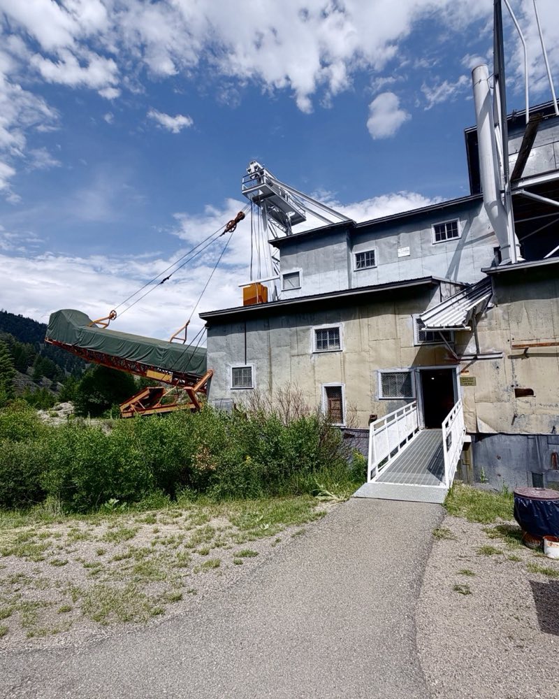
It’s two miles above the dredge. Do the dredge in the morning; Custer faces the afternoon sun. Fill the tank and the water bottles in Challis: there’s nothing up this road.
What is still standing
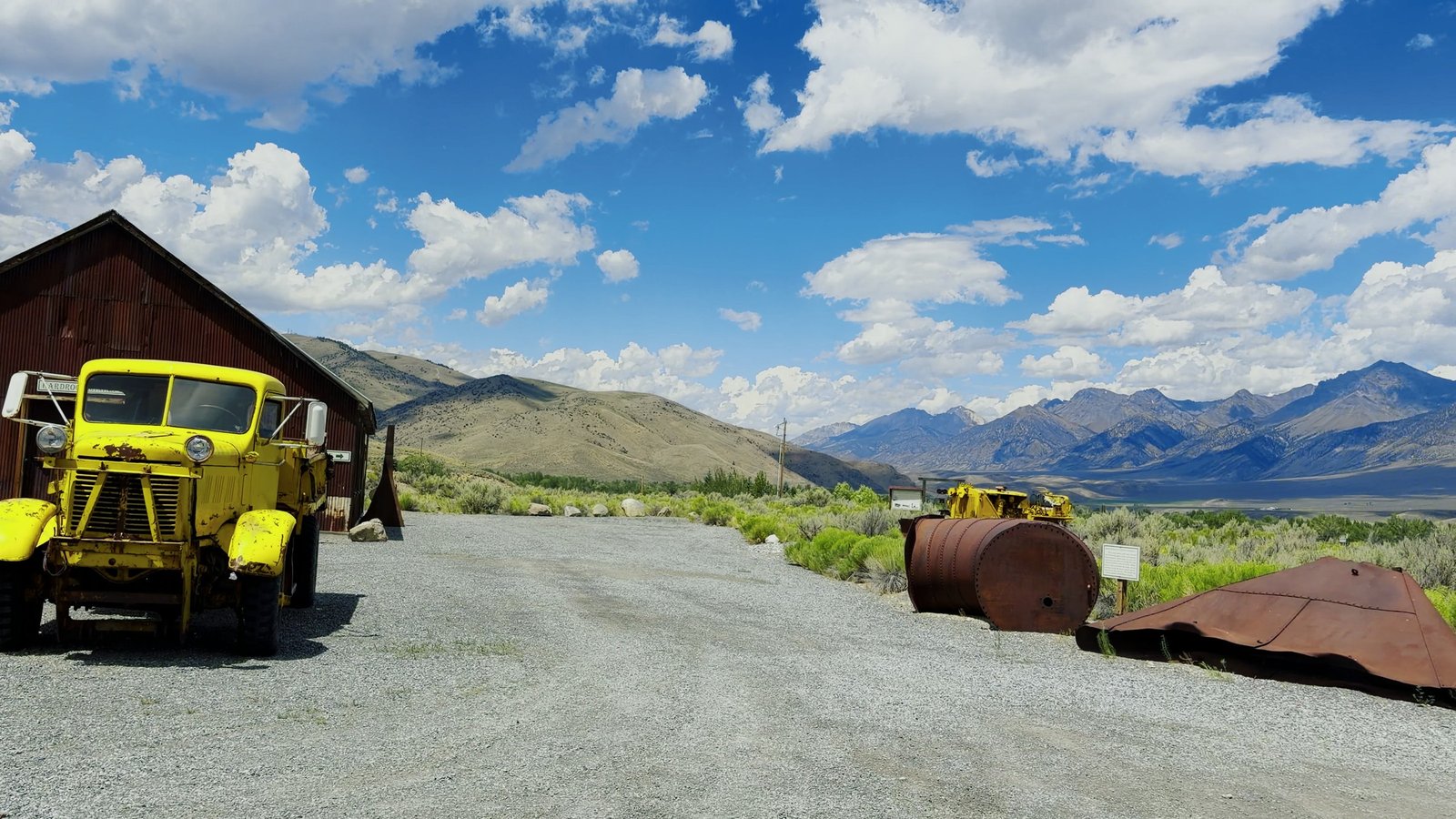
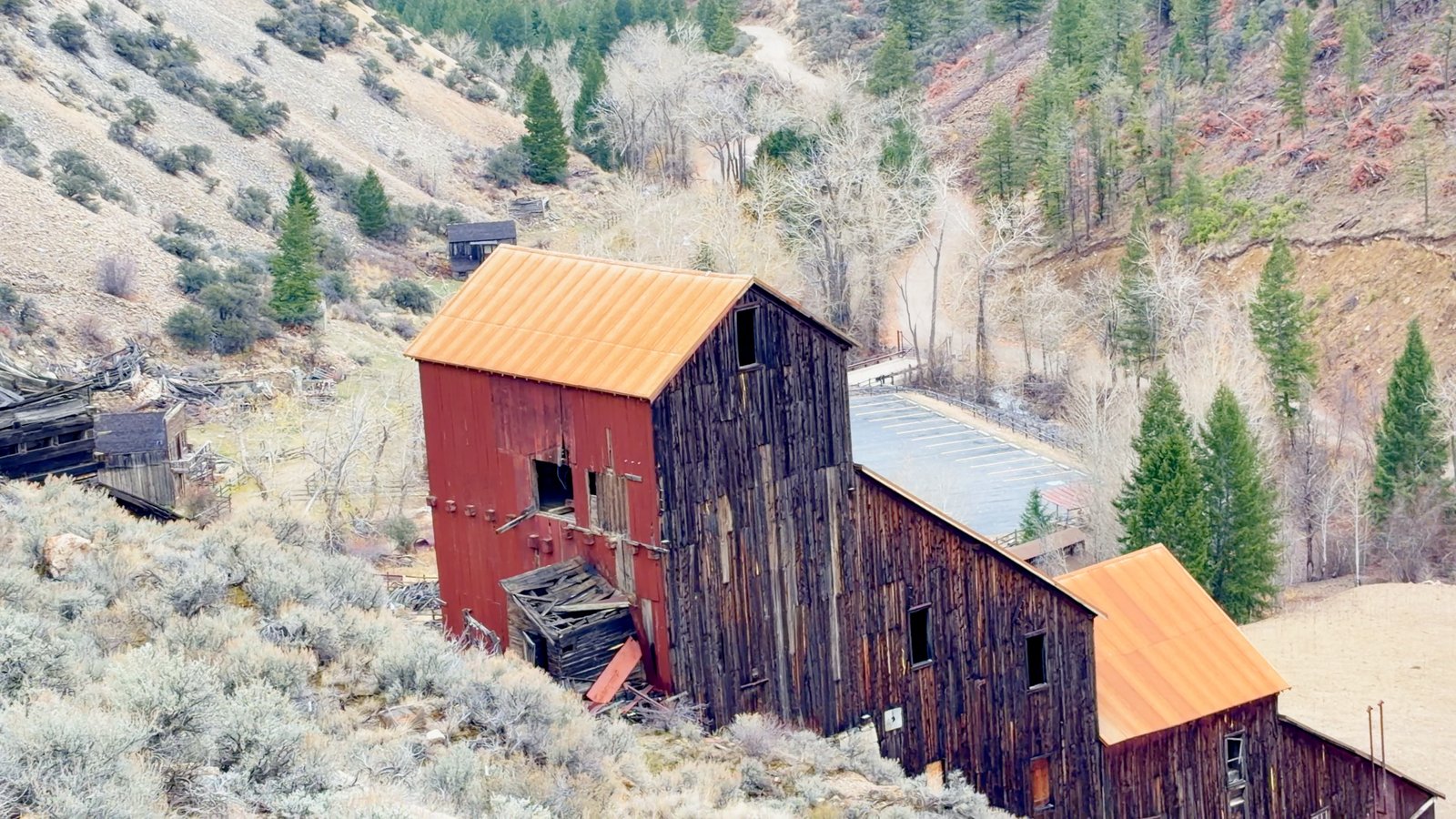
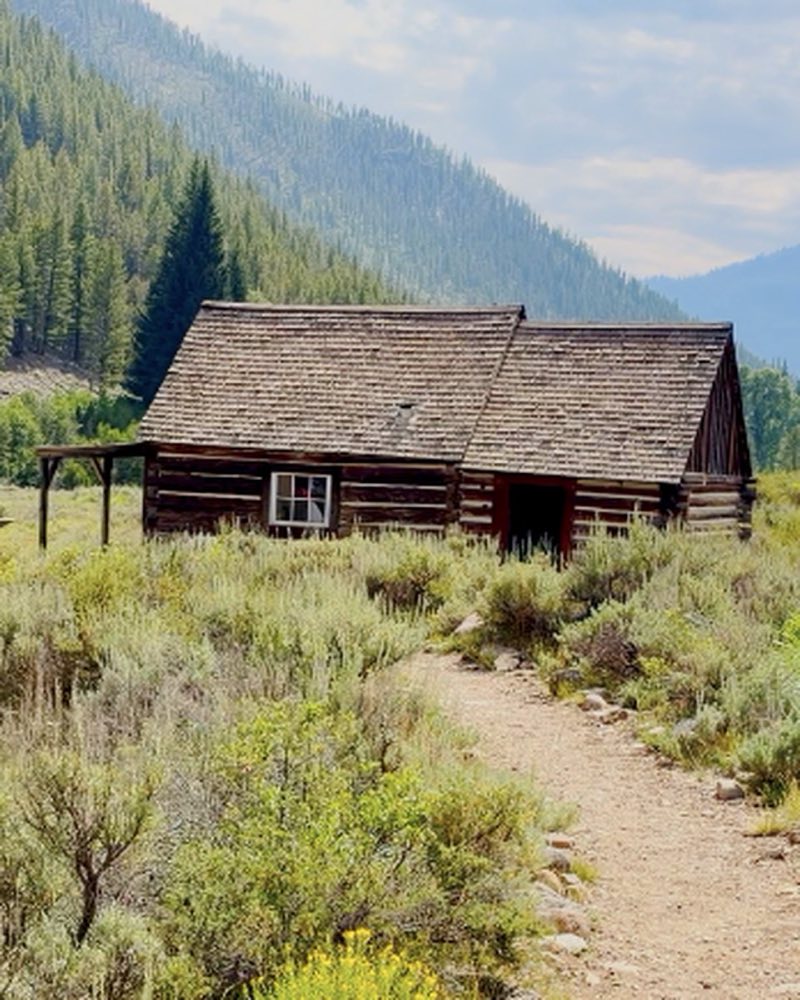
The walking tour starts at the schoolhouse, now the museum. The Custer Empire Saloon, restored in 1998, runs as the gift shop in summer. Beyond those: the McKenzie and Pfeiffer houses, the Tully, Raines and Brockman cabins, the Asay Office, the Transportation Building, the ice house, and a stone cabin down to its walls.
Bonanza, and a grave somebody kept
You pass Bonanza at mile seven on the way up — little survives but foundations and a 1934 CCC guard station. A mile west of the townsite is the Bonanza cemetery, and separately, Boot Hill, with three marked graves. Agnes "Lizzie" King was widowed in 1879, remarried on August 11, 1880, and was shot dead with her new husband six days later. Nobody was ever charged. Charles Franklin — the man who founded Bonanza, and who was said to have loved her without ever saying so — bought the plots beside them and lived out his life alone up the valley. For years afterward the graves were found tended, by hands nobody could name.
Questions people ask
What are the hours at Custer ghost town?
The grounds are open 24 hours and are free. Hours for the buildings are not published: they are staffed Memorial Day to Labor Day and locked otherwise. Call 208-756-5100 before you count on getting inside.
How do you get to Custer ghost town?
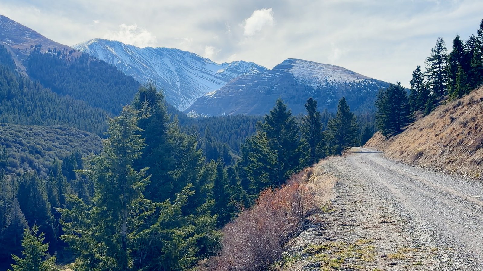
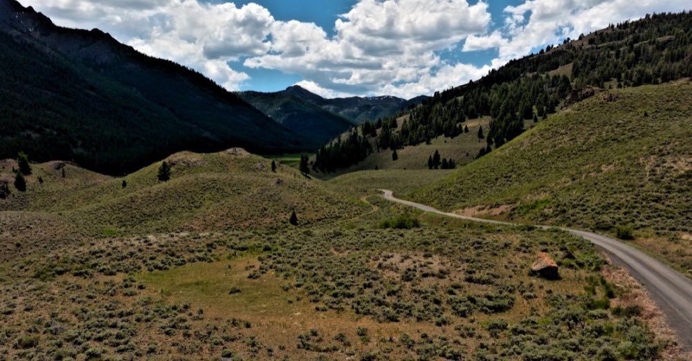
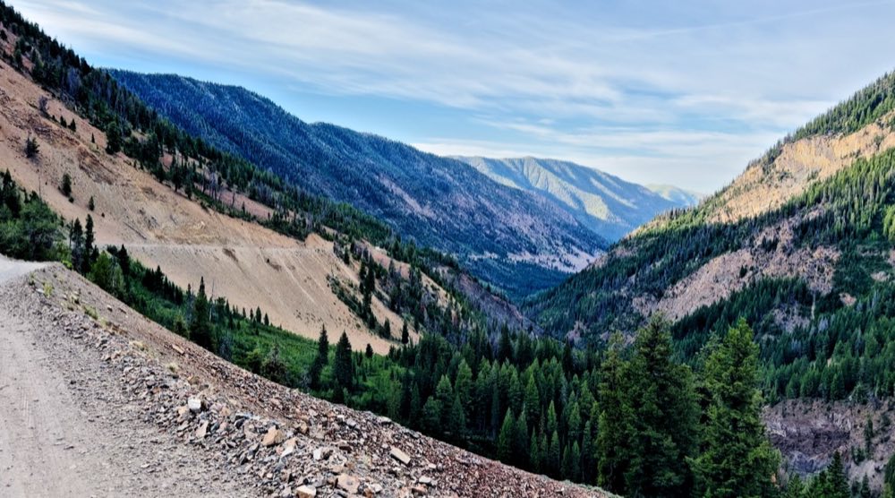
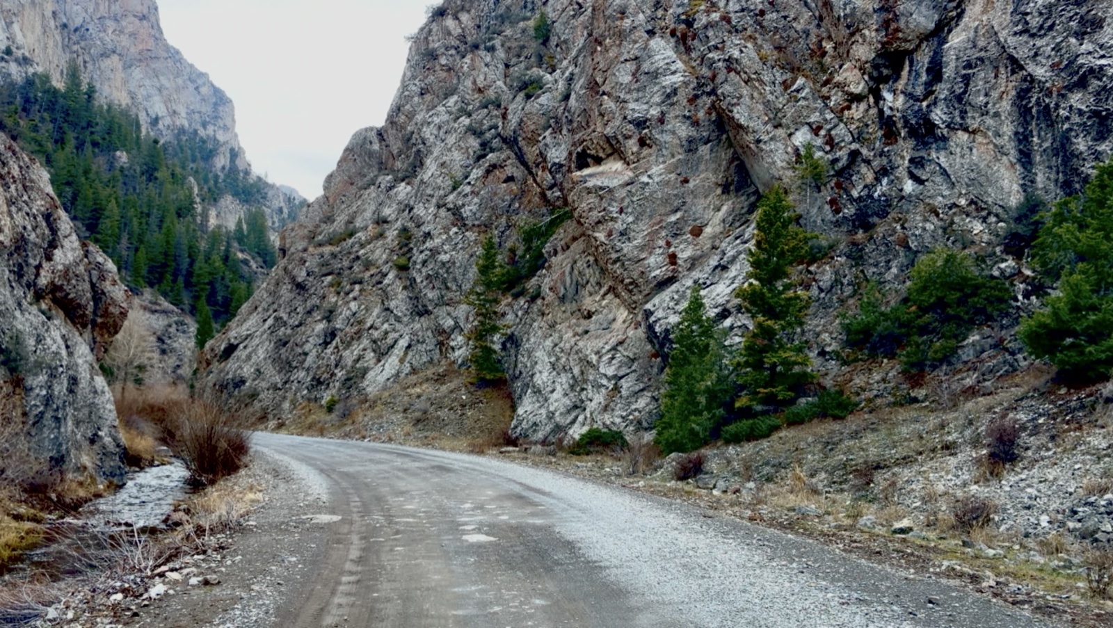
From the Sunbeam Dam overlook on Highway 75, drive 9 miles up Forest Road 013. Custer is 2 miles above the Yankee Fork Gold Dredge. The gravel is fine for passenger cars as far as Custer and rough beyond it.
What is still standing at Custer?
The schoolhouse, now the museum, and the Custer Empire Saloon, now the summer gift shop. Beyond those are the McKenzie and Pfeiffer houses, the Tully, Raines and Brockman cabins, the Asay Office, the Transportation Building, the ice house and a stone cabin down to its walls.
How long do you need at Custer?
One to two hours to walk it properly. There are vault toilets and picnic tables and no drinking water.
When is Custer Days?
The second Saturday in July, with tours and reenactments.