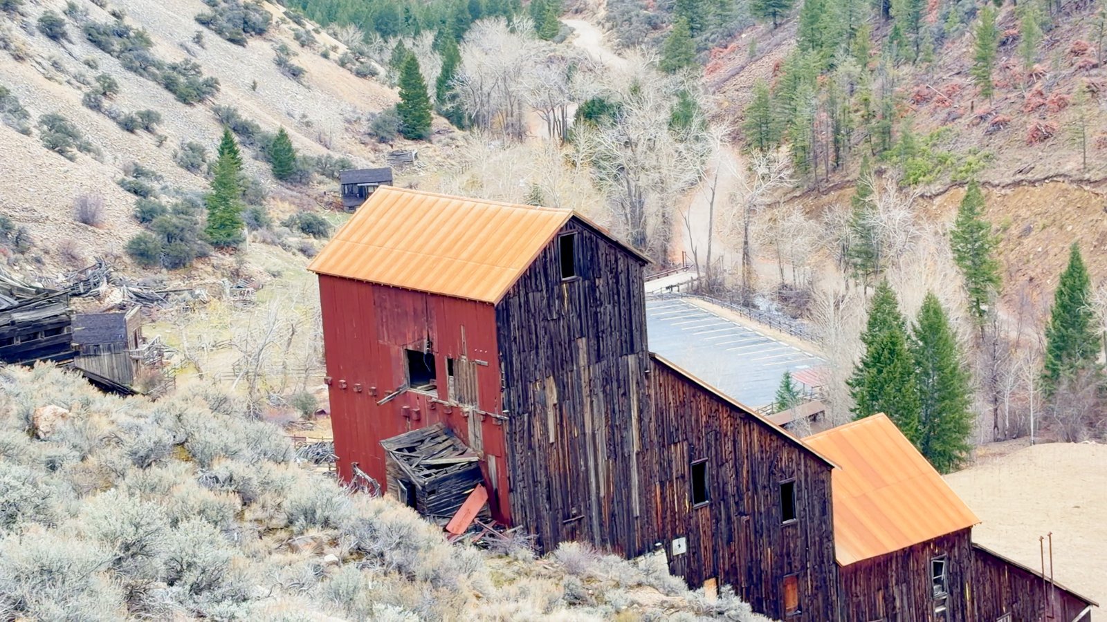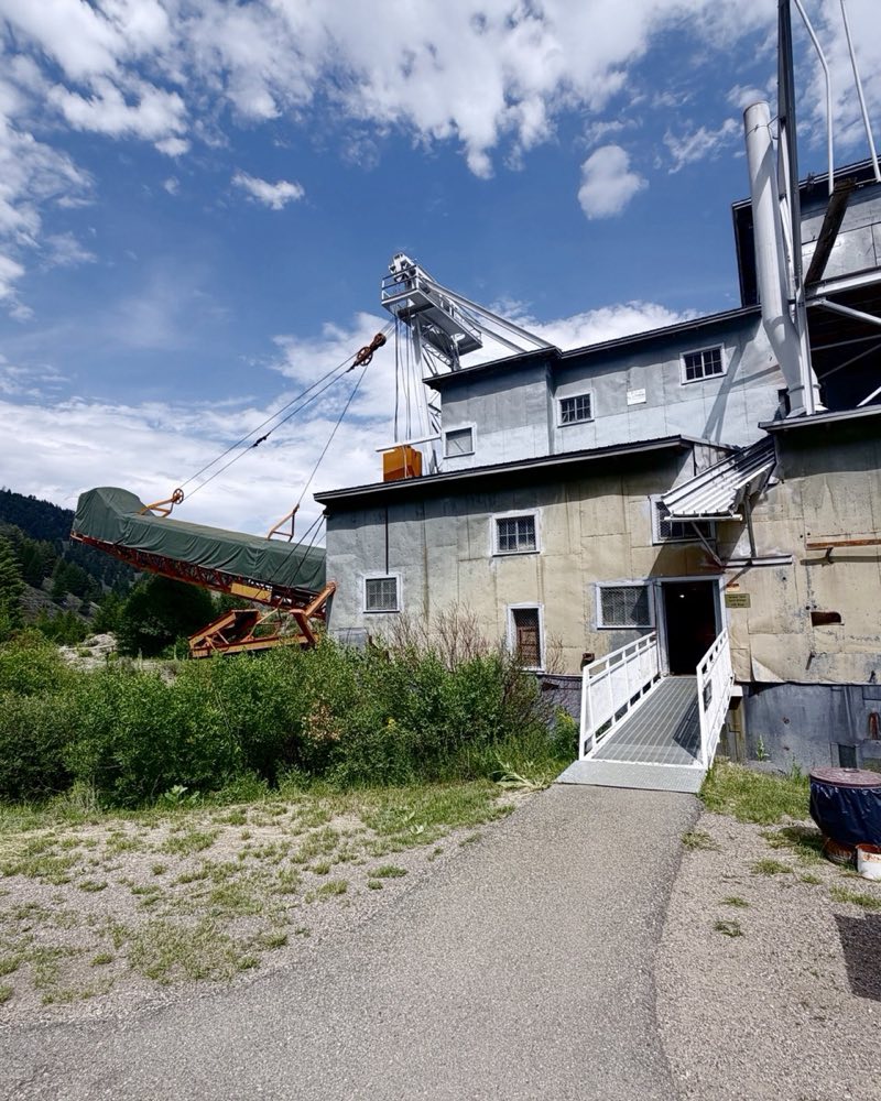
Mackay, Idaho is a town of 439 people at 5,900 feet in Custer County, at the foot of the Lost River Range. The main things to do are the free Mine Hill Tour, Mackay Reservoir just north of town, and the Lost River Museum on Main Street.
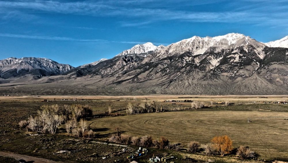
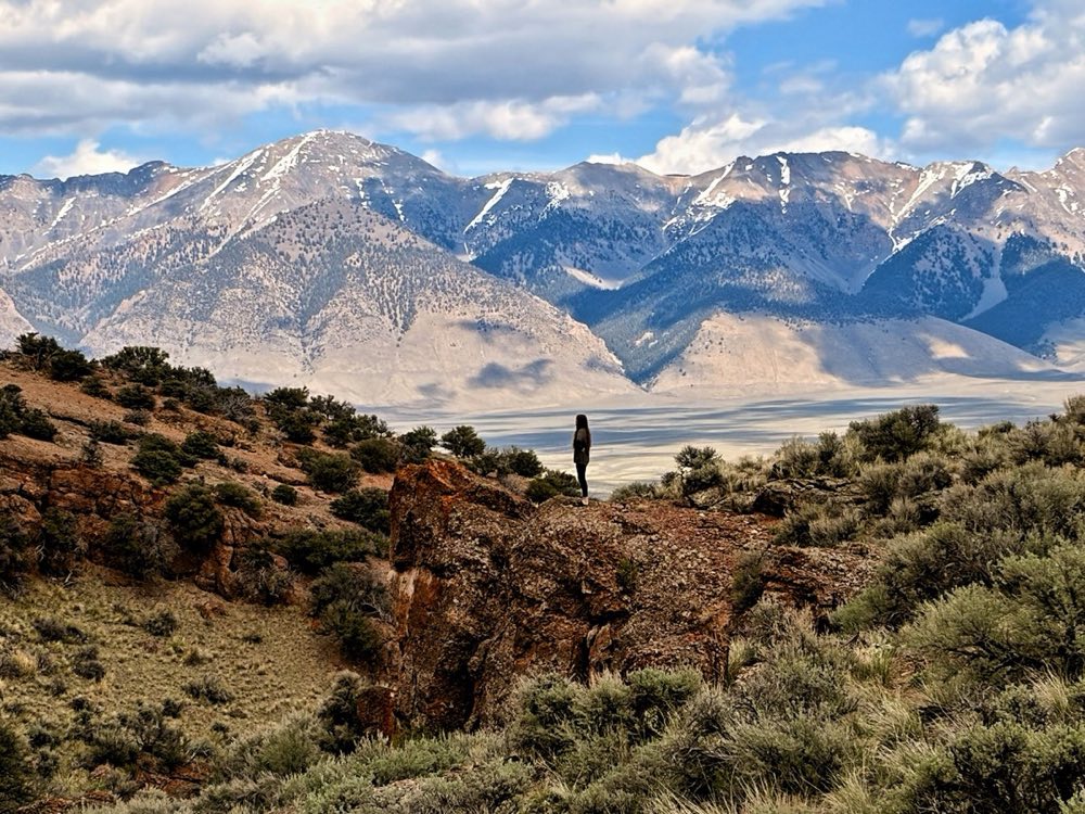
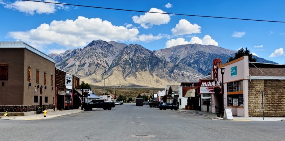
Four hundred and thirty-nine people at 5,900 feet, with Mount McCaleb standing over Main Street. The Oregon Short Line pushed a branch up this valley in 1901 to haul copper, and within a year twelve hundred people lived here. The Lost River Museum keeps the mining, the railroad and a moonshining exhibit.
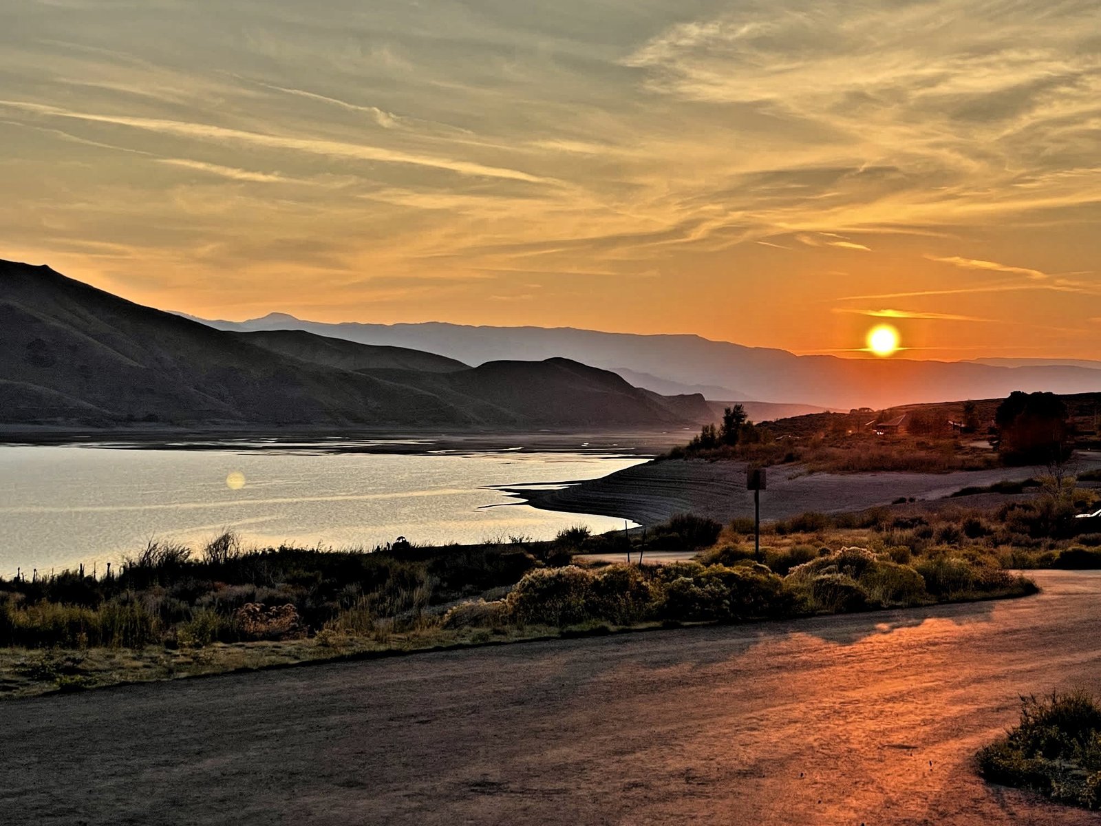
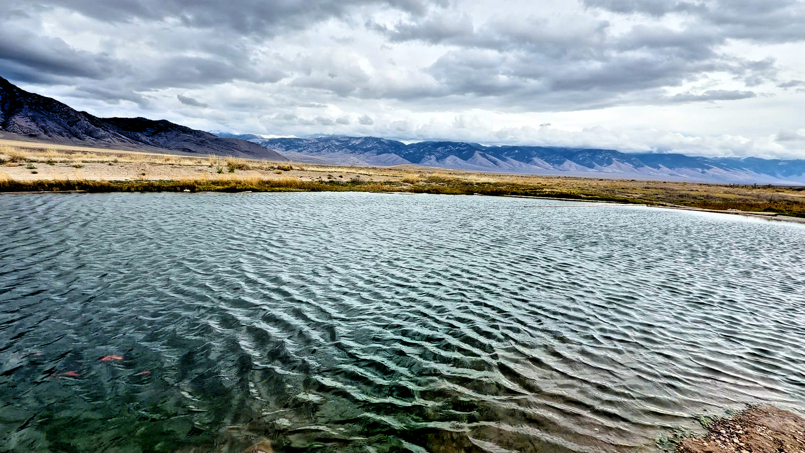
Mackay Reservoir is just north of town, and Mine Hill rises above it.
The museum
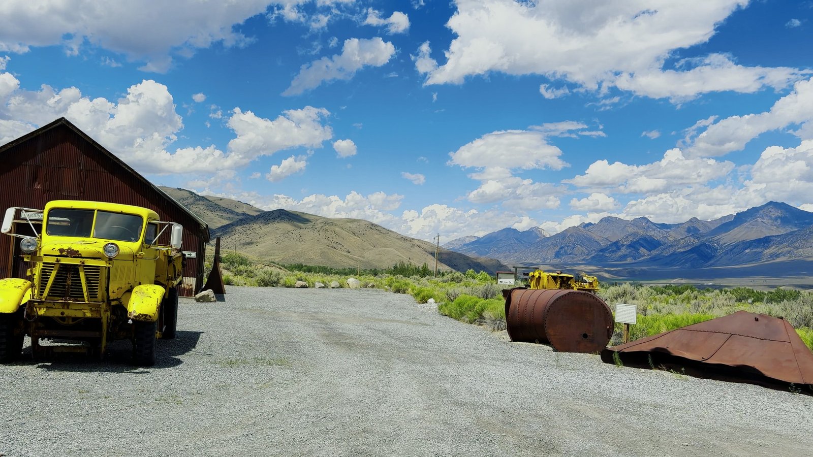
The Lost River Museum on Main Street runs Friday and Saturday, 11 to 4, May through September. Mining tools, ranching gear, railroad and theater memorabilia, and a moonshining exhibit better than it has any right to be.
Questions people ask
What is there to do in Mackay, Idaho?
Drive or ride the free Mackay Mine Hill Tour, about 20 miles, open late spring to late fall. Camp at the Joe T. Fallini campground on Mackay Reservoir, north of town. Visit the Lost River Museum on Main Street, open Friday and Saturday, 11 to 4, May through September. The Mackay PRCA Rodeo is in late June and the Summer Market runs on Saturdays.
Where can you eat and get gas in Mackay?
Ken’s Club, 9 Peaks and Scoops Corner Cafe. Gas is at Sammy’s Mini Mart, 318 W Custer, the last fuel before Trail Creek Road.
Where can you stay in Mackay, Idaho?
The Wagon Wheel Motel, the White Knob Motel and the Mackay Mansion B&B are in town. The full list is on the lodging page.
What is the elevation of Mackay, Idaho?
About 5,900 feet. Mount McCaleb stands over Main Street.
How did Mackay, Idaho start?
The Oregon Short Line built a branch railroad up the valley in 1901 to haul copper. Within a year twelve hundred people lived here.