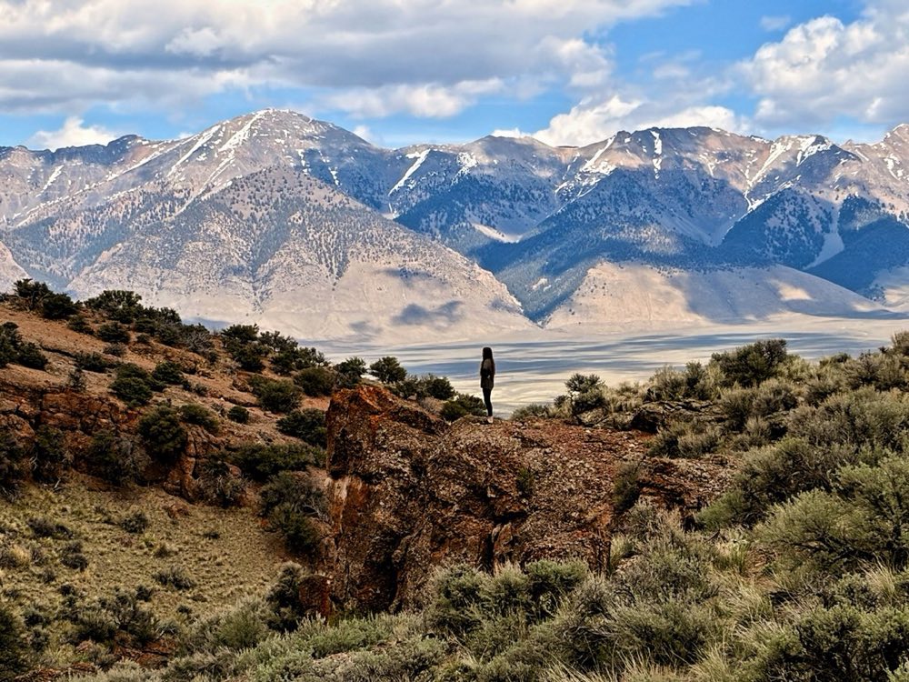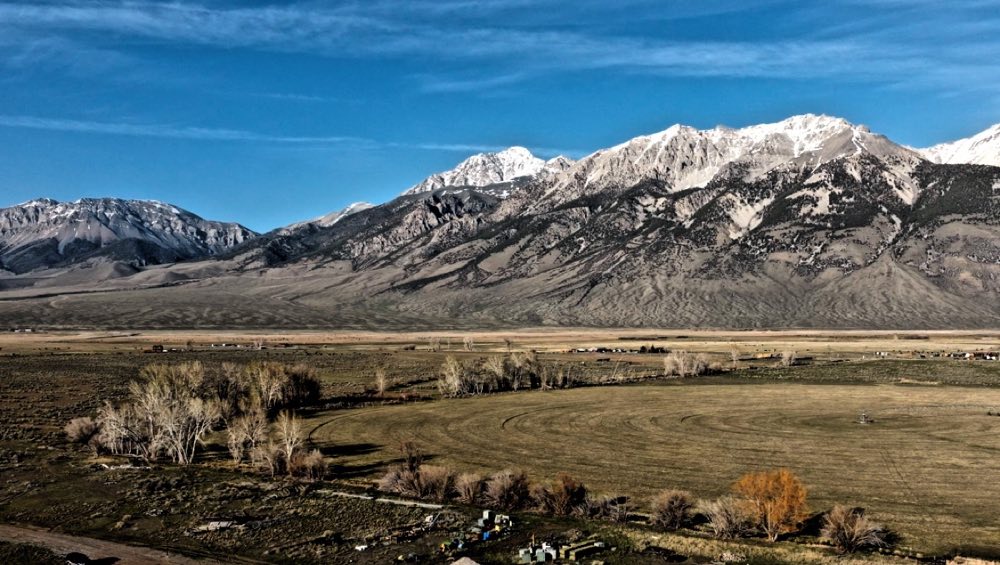
Mount Borah, also called Borah Peak, is the highest mountain in Idaho at 12,662 feet. The hike is about 7 to 8 miles round trip with 5,262 feet of gain, takes 6 to 12 hours, and needs no permit and no fee.
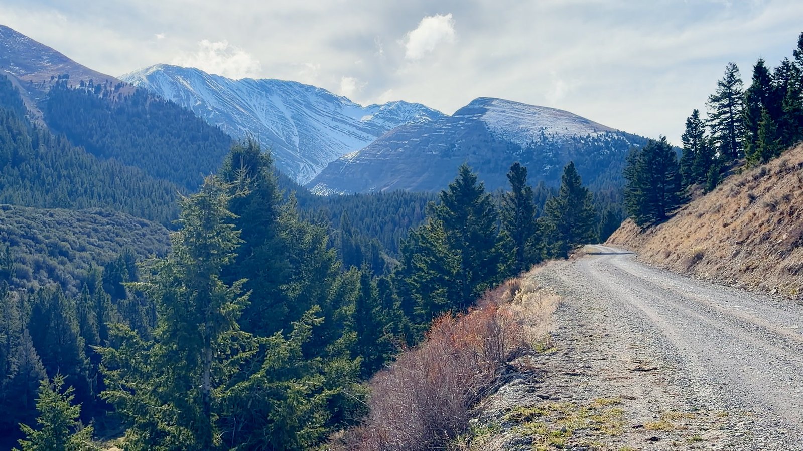
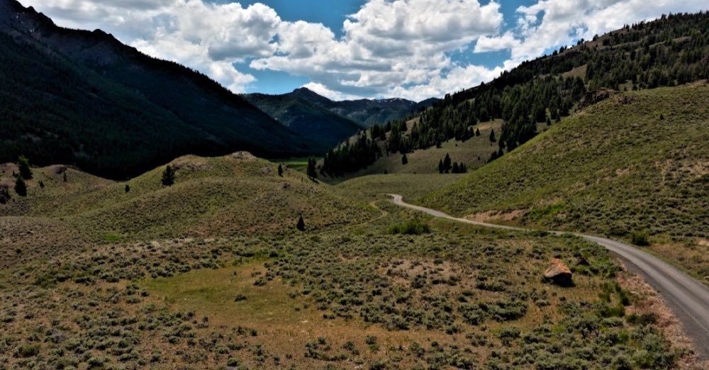
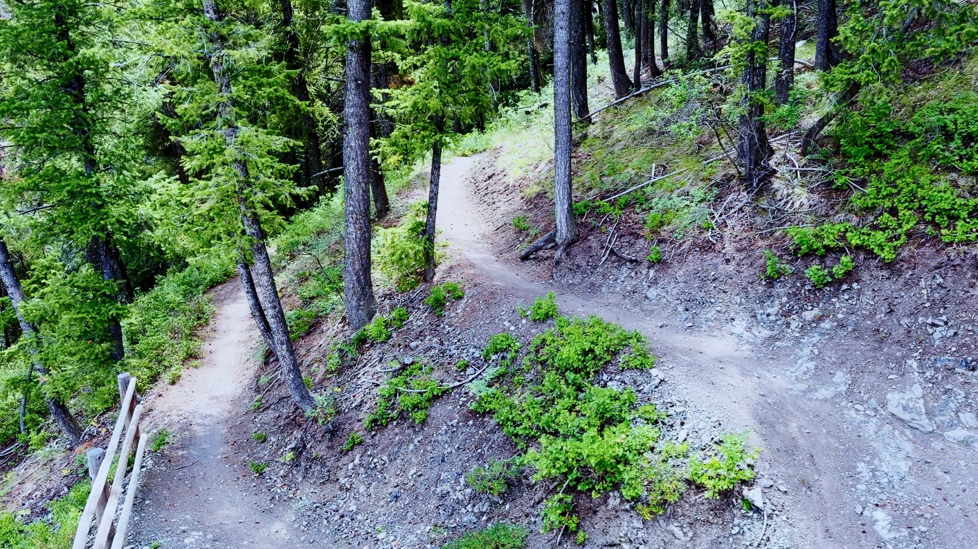
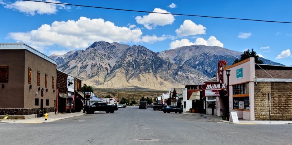
Idaho’s high point, 12,662 feet, and the most misjudged hike in the valley. You can see it from the highway: drive north on US-93, watch for the Mount Borah Trailhead sign, and turn. Three miles of gravel take you to the lot at about 7,400 feet.
The numbers are honest about it. Three and a half miles from the trailhead to the summit, and 5,262 feet of gain to cover in them — one of the steepest sustained ascents of any state high point in the country. Most parties are moving before dawn and back at the truck somewhere between six and twelve hours later.
Chicken Out Ridge
At about 11,800 feet the trail stops being a trail. Chicken Out Ridge is a blocky Class 3 spine with real exposure on both sides, and it earned its name from the people who get there and decide, sensibly, that today is not the day. The crux is a twenty-foot downclimb off a tower locals call the nose, dropping into a notch that holds a snow bridge well into the season. If the snow is still there, you want an ice axe and you want to know how to use it. By late August it is usually bare rock.
The mountain that moved
On October 28, 1983, a magnitude 6.9 earthquake — the largest ever recorded in Idaho — tore a 21-mile scarp along the base of this range. The valley floor dropped; the range came up. Two children died in Challis. You can stand on the fault line at the Earthquake Interpretive Site, 22 miles north of Mackay then 2.5 miles up Doublespring Pass Road. It is free, it takes twenty minutes, and it will reframe everything you see out the windshield afterward.
Questions people ask
How long does it take to climb Mount Borah?
Six to twelve hours for most parties. Start before dawn and be off the summit by early afternoon.
How hard is Chicken Out Ridge?
It is a blocky Class 3 ridge at about 11,800 feet with real exposure on both sides. The hardest move is a twenty-foot downclimb into a notch that holds a snow bridge well into the season. By late August it is usually bare rock.
When is the best time to hike Borah Peak?
Mid-July through September, when the Class 3 rock is dry.
Do you need a permit to climb Mount Borah?
No. There is no permit and no fee; the mountain is in the Salmon-Challis National Forest.
Where is the Mount Borah trailhead, and can you camp there?
About 23 miles and 30 minutes north of Mackay: US-93 north to between mileposts 129 and 130, then 3 miles east on Birch Springs Road, well-graded dirt that passenger cars can drive. The trailhead has 5 first-come campsites at $5 a night and a vault toilet. There is no water at the trailhead or on the route.