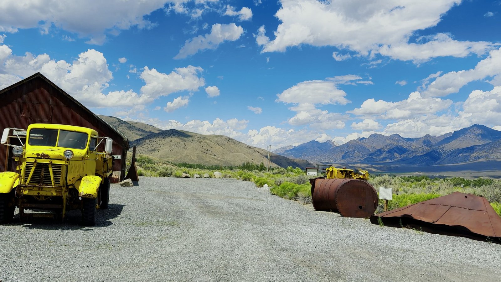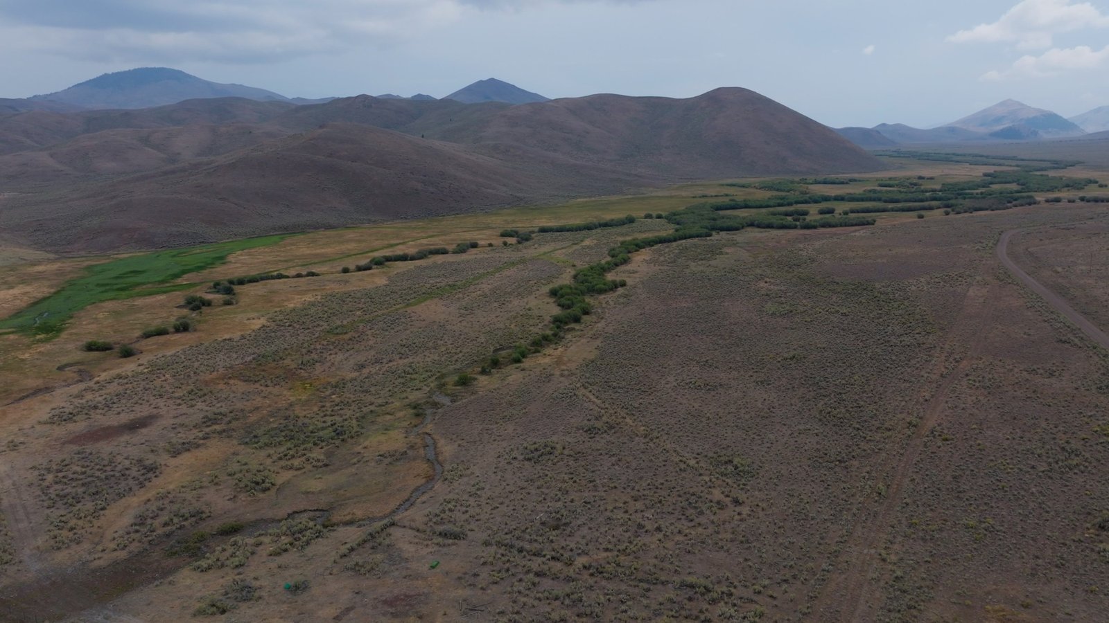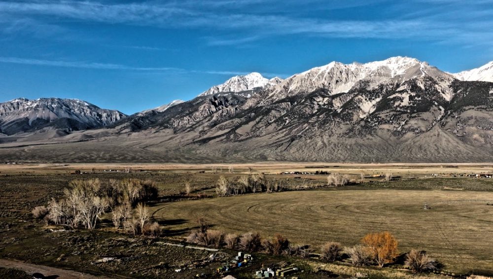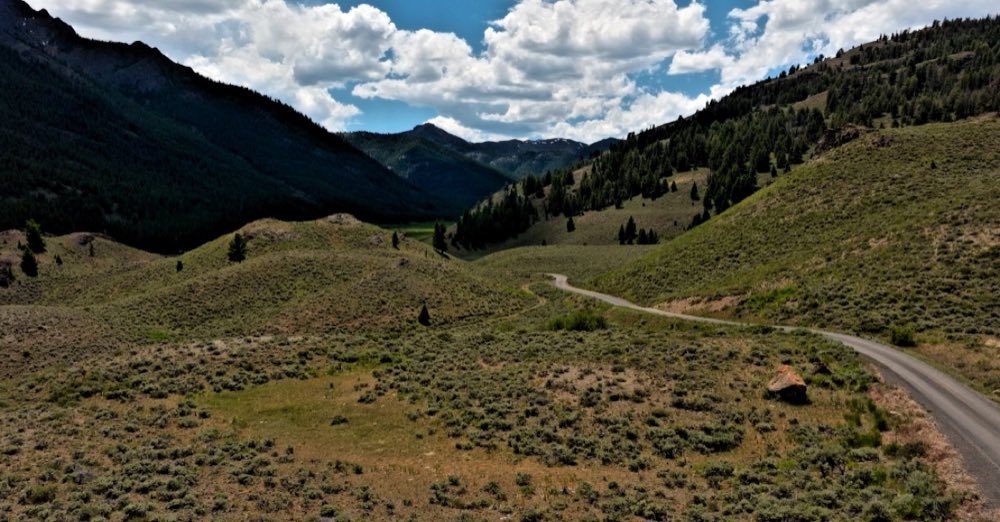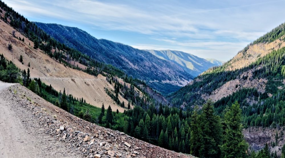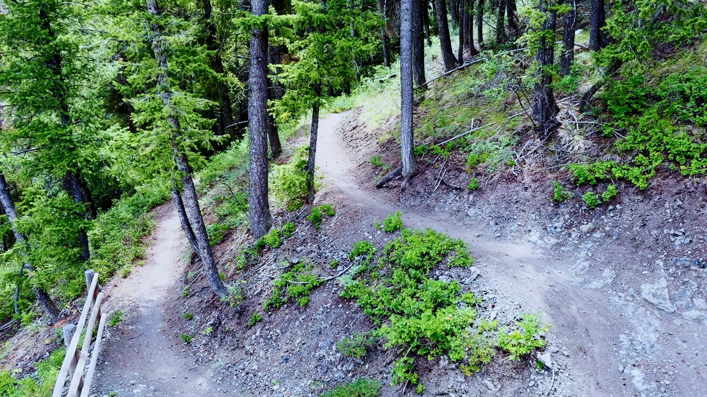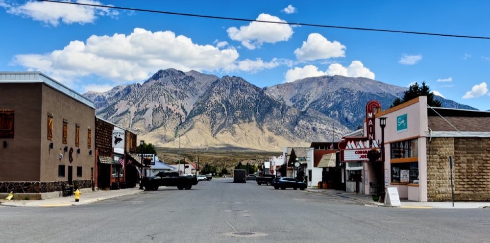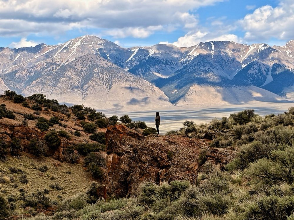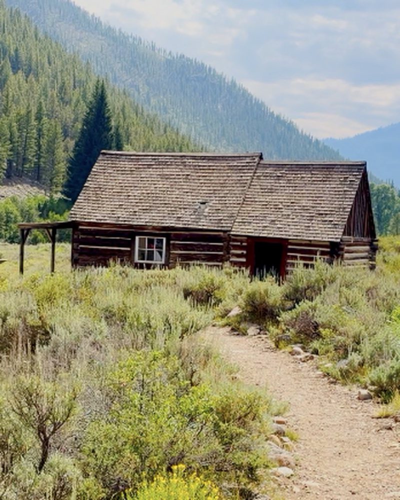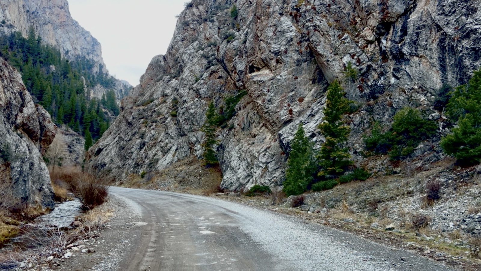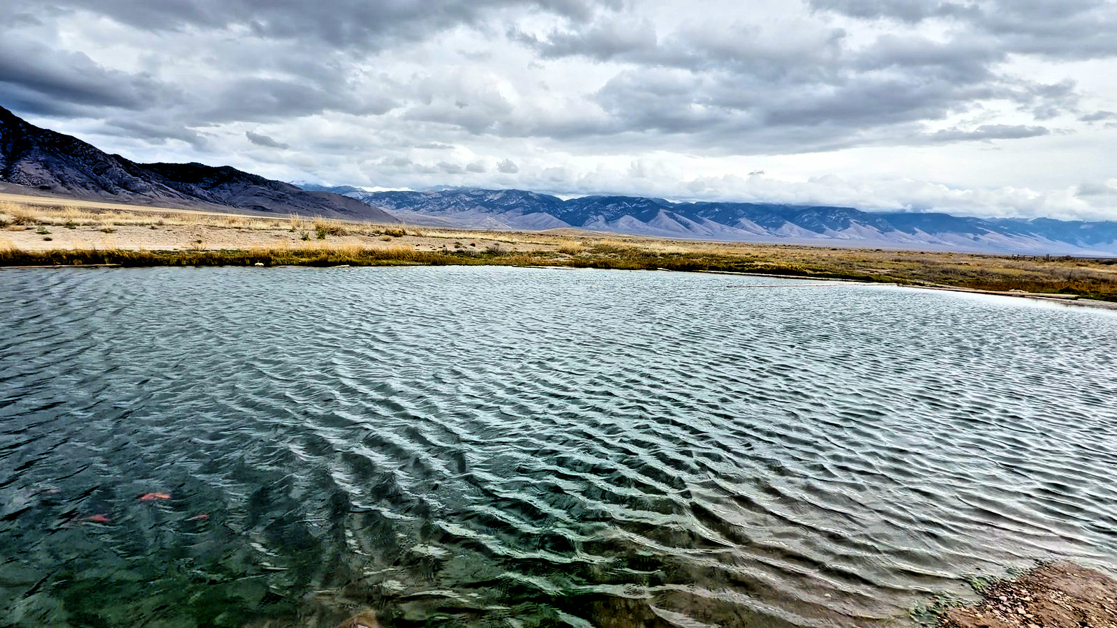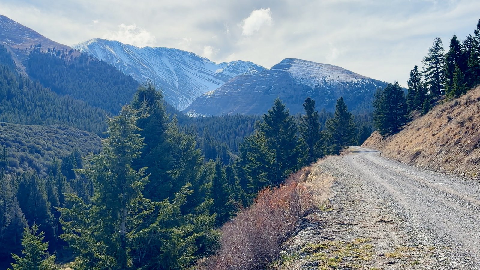
The ATV and UTV ride north of Mount Borah. Everybody on US-93 looks at the peak; almost nobody turns off. Doublespring Pass Road crosses the scarp the 1983 earthquake tore across the valley, then climbs to the top of the pass at 8,323 feet: pine, snow on the peaks, miles of empty hills, and Borah behind you the whole way.
The road leaves US-93 just north of the peak, at the 1983 earthquake marker. Trailer the machine to the turnoff, unload and go, or drive it: it’s graded gravel. Bring goggles for the dust.
The mountain that moved
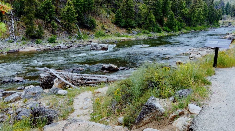
On October 28, 1983, a magnitude 6.9 earthquake — the largest ever recorded in Idaho — tore a 21-mile scarp along the base of this range. The valley floor dropped; the range came up. Two children died in Challis. You can stand on the fault line at the Earthquake Interpretive Site, 22 miles north of Mackay then 2.5 miles up Doublespring Pass Road. It is free, it takes twenty minutes, and it will reframe everything you see out the windshield afterward.