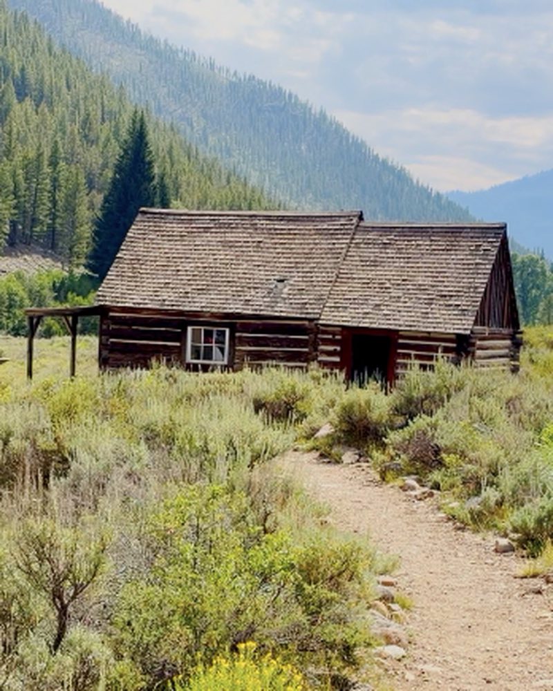
Bayhorse is a silver-mining ghost town in a side canyon off Highway 75 near Challis, Idaho, founded in 1877. It is part of Land of the Yankee Fork State Park. Entry is $7 a vehicle unless you carry an Idaho State Parks Passport, and the townsite closes for winter.
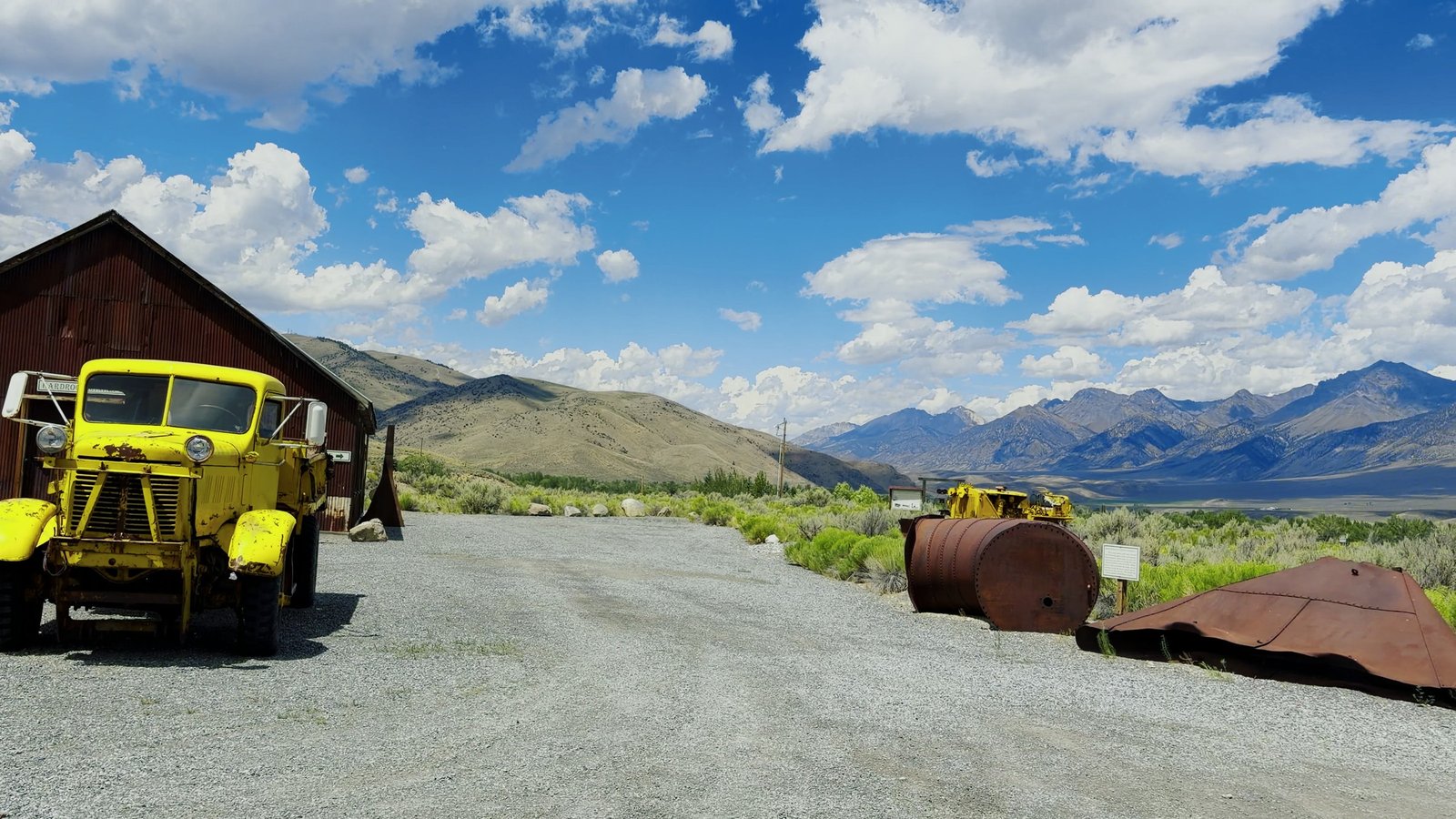
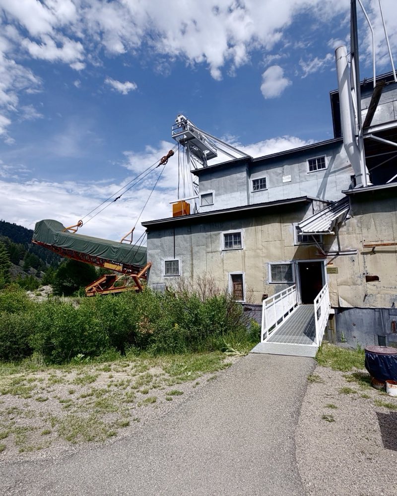
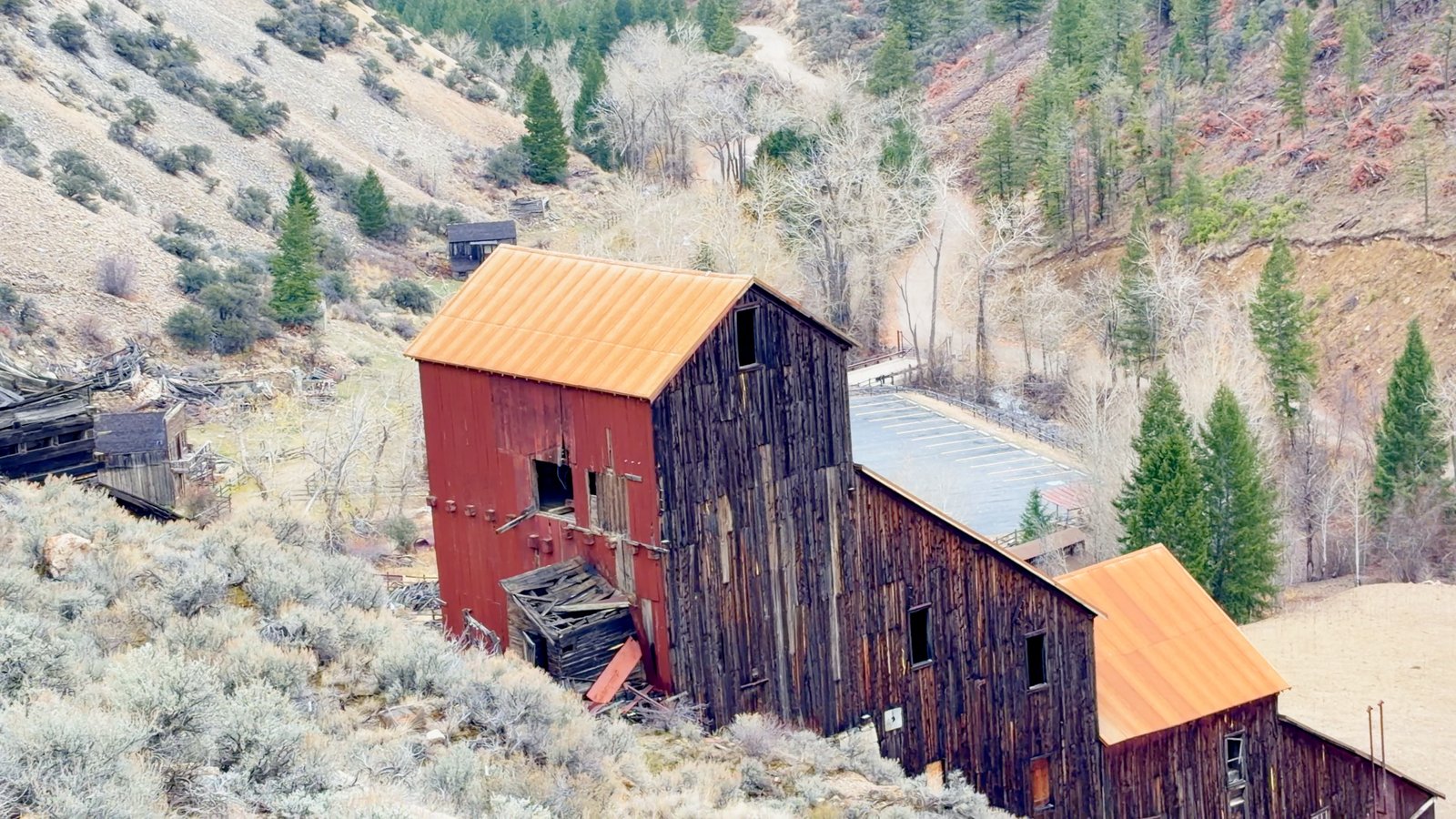
A whole silver-mining town still standing in a side canyon off Highway 75: a big red mill, charcoal kilns, mine buildings hanging off the ridges. Bayhorse was founded in 1877 and had 300 people by 1885, and over ten million dollars in ore came out of these hills by 1900.
The whole town went on the National Register in 1976, and the state bought it in 2006. It’s part of Land of the Yankee Fork State Park now. Big Bayhorse Lake is six miles past town at 8,583 feet, up a narrow, steep Forest Service road.
Questions people ask
How do you get to Bayhorse ghost town?
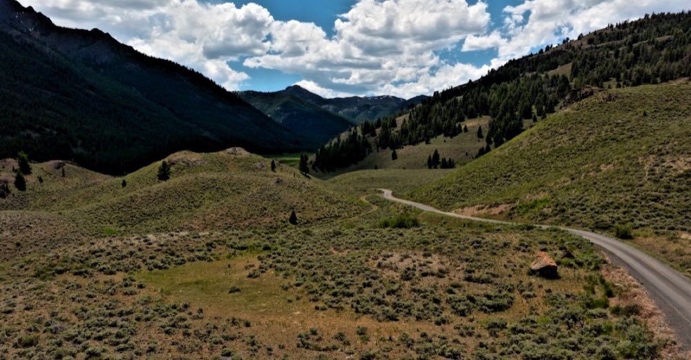
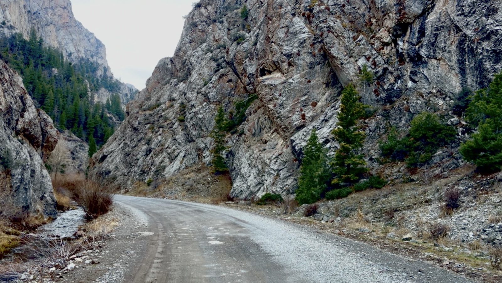
Take US-93 to Challis, go south 8.1 miles on Highway 75, then 3.3 miles up Bayhorse Creek Road, which is gravel.
What is there to see at Bayhorse?
A big red mill, charcoal kilns and mine buildings on the ridges above the canyon. The whole town went on the National Register in 1976, and the state bought it in 2006.
How much does Bayhorse cost, and when is it open?
$7 a vehicle unless you carry an Idaho State Parks Passport. The townsite closes for winter.
How do you get to Bayhorse Lake?
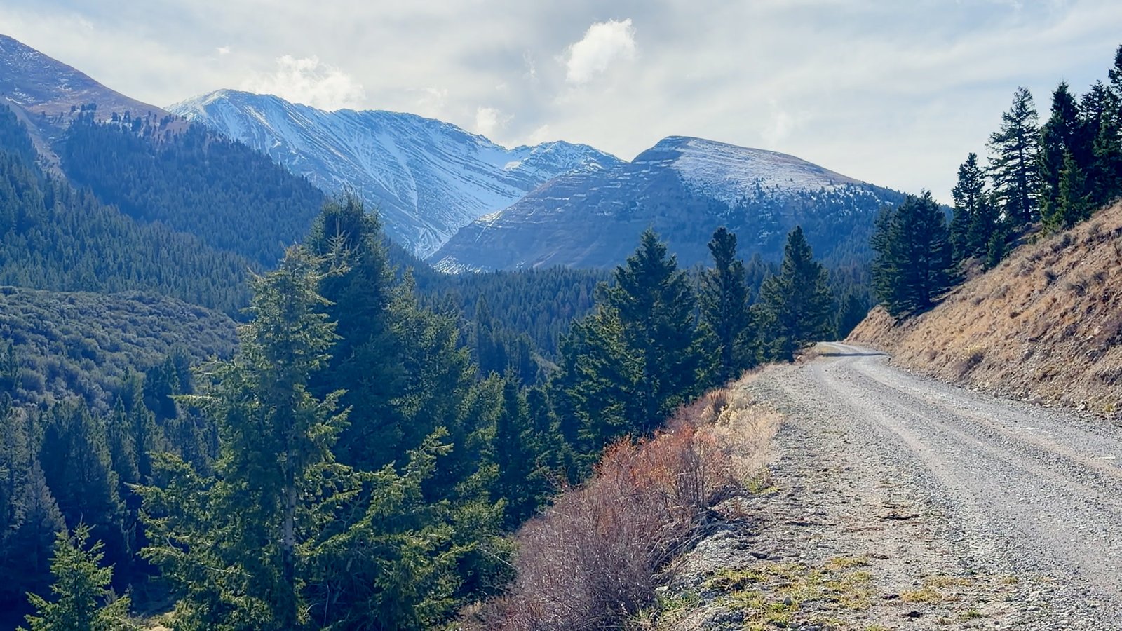
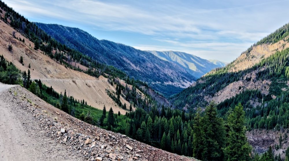
Big Bayhorse Lake is six miles past the town at 8,583 feet, up Forest Road 051, which is narrow and steep. The Little Bayhorse road is extremely hazardous when wet.