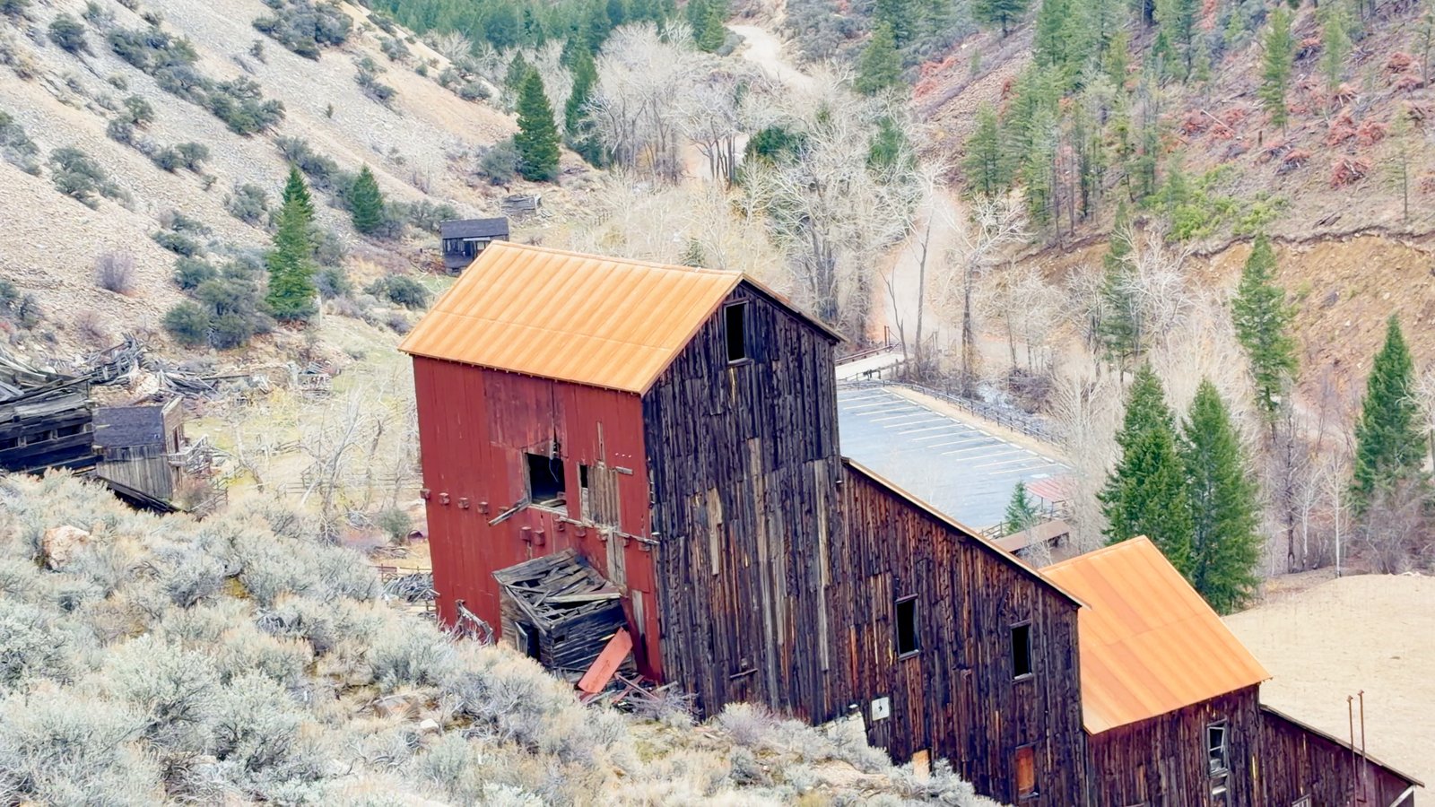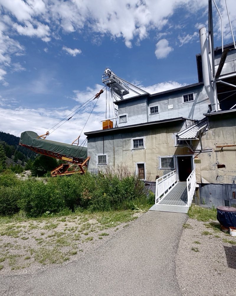
The Yankee Fork Gold Dredge is a 988-ton gold dredge left where it stopped in 1953, eight and a half miles up Forest Road 013 from Sunbeam, Idaho. It is open daily, 10:00 am to 4:30 pm, from the Saturday before Memorial Day through Labor Day. Admission is $5 for adults and $1 for children 6 to 12.
Eight and a half miles up a gravel road you come round a bend and find a 988-ton machine sitting where it was left in 1953: 112 feet long, four stories tall, seventy-one steel buckets on a chain. It chewed through six million cubic yards of gravel for a little over a million dollars in gold.
Custer is two miles on.
What it did to the valley
It worked from 1940 to 1942, stopped for the war, and ran again from 1946 to 1953. In that time it chewed through roughly six million cubic yards of gravel and recovered a little over a million dollars in gold — the interpretive marker on site rounds up to $1.2 million. Every two weeks the crew cleaned out fifteen hundred to two thousand ounces.
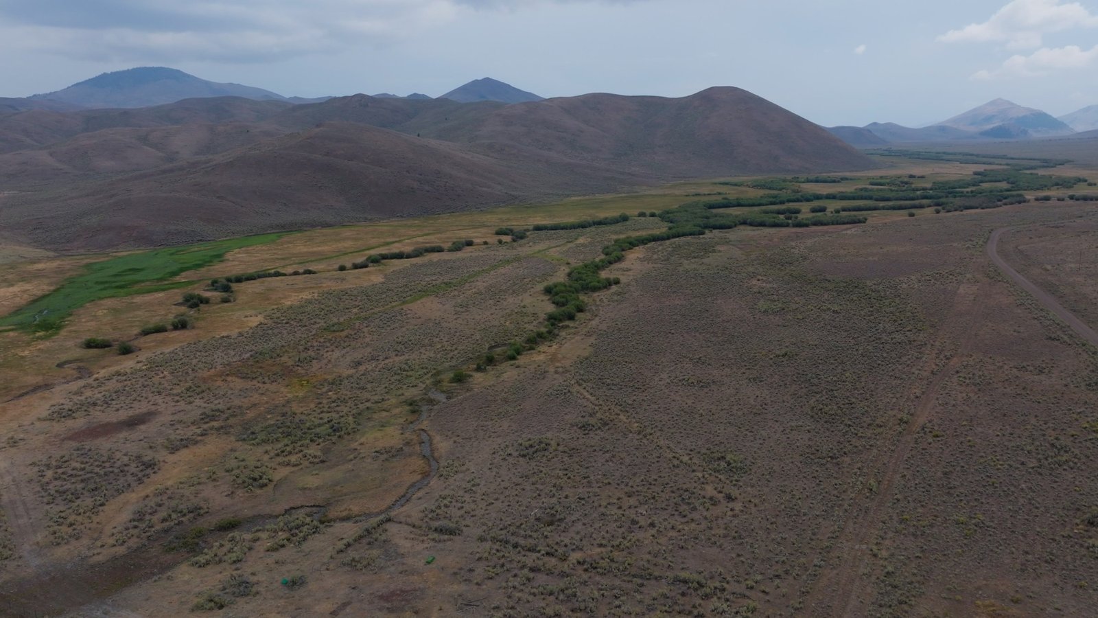
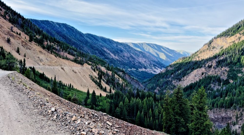
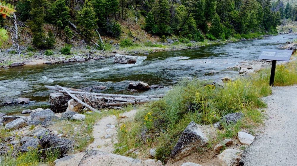
You will have driven past the rest of the story before you ever see the dredge. The long grey windrows of washed cobble beside the road are tailings — about six miles of creek turned inside out and stacked in ridges. For decades that was the end of it. Since around 2011 a coalition including Trout Unlimited, the Shoshone-Bannock Tribes, the Bureau of Reclamation and the Forest Service has been pulling tailings back off the floodplain and rebuilding a meandering channel with pools and large wood in it, for the chinook and steelhead that still come this far up. Some stretches are green again. It is worth knowing which is which as you drive.
Questions people ask
When is the Yankee Fork Gold Dredge open?
Daily, 10:00 am to 4:30 pm, from the Saturday before Memorial Day through Labor Day. Call 208-879-5244 in season or 208-890-3348 off season.
How much does the Yankee Fork Gold Dredge cost?
$5 for adults and $1 for children 6 to 12. Group rates are available.
Are there tours of the Yankee Fork Gold Dredge?
The tour is self-guided, with volunteer docents on hand. Take as long as you like.
How do you get to the Yankee Fork Gold Dredge?
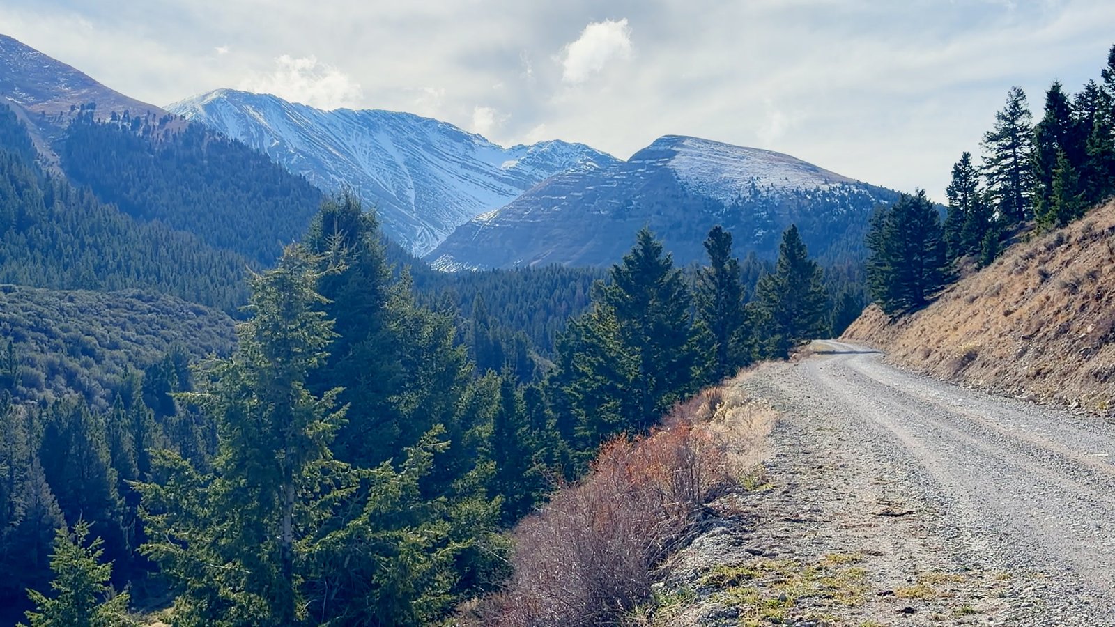
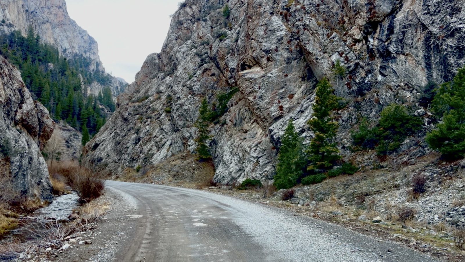
Turn off Highway 75 at Sunbeam and drive 8½ miles up Forest Road 013, well-maintained gravel that passenger cars can drive in dry weather. From Mackay it is about 96 miles and 2 hours to the Sunbeam turnoff.
How big is the Yankee Fork Gold Dredge?
988 tons, 112 feet long and four stories tall, with seventy-one steel buckets on a chain.