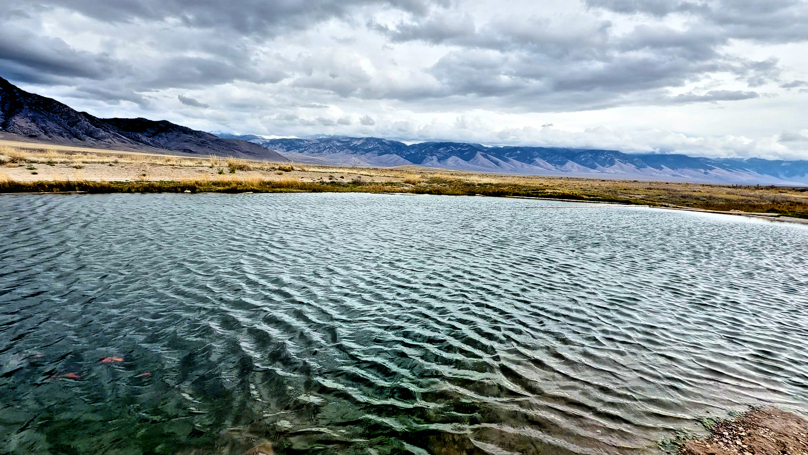
Craters of the Moon is a national monument of lava fields, cinder cones and caves 18 miles southwest of Arco, Idaho. Entrance is $20 a car, good for 7 days. The seven-mile Loop Road is open to cars from about mid-April to late November, and the caves need a free permit from the visitor center.
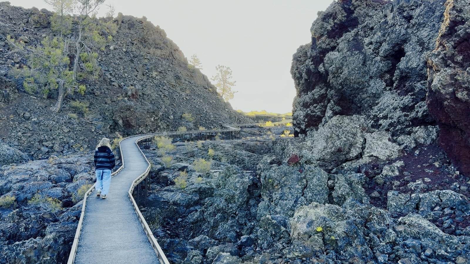
Lava fields, cinder cones and caves you can walk through. In August 1969 Apollo astronauts trained here, Alan Shepard among them. Climb Inferno Cone for the view, walk the North Crater Flow boardwalk through 2,100-year-old lava, and walk Indian Tunnel with a free cave permit.
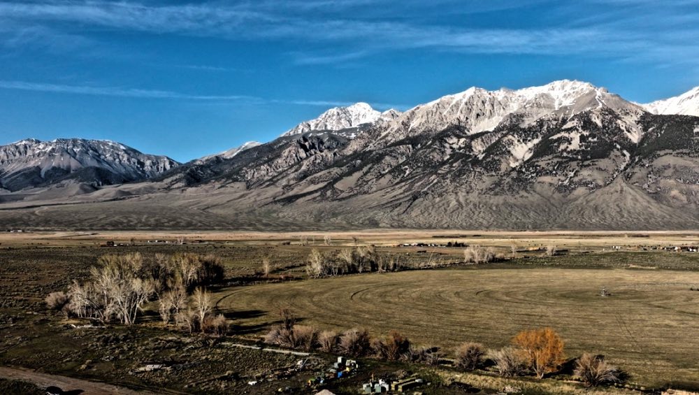
It’s past Arco on US-20/26/93, along the Great Rift, a line of cracks running 52 miles southeast: the same stretching of the earth that lifted Mount Borah in 1983. The seven-mile Loop Road passes every stop, and it takes RVs. Dogs can ride the Loop Road but not go on the trails. There are no hotels in the park: here is where to stay near Craters of the Moon.
Questions people ask
What is there to do at Craters of the Moon?
Climb Inferno Cone for the view, walk the North Crater Flow boardwalk through 2,100-year-old lava, and walk through Indian Tunnel with a free cave permit. The seven-mile Loop Road passes every stop.
Do you need a permit for the caves at Craters of the Moon?
Yes. The cave permit is free and required, and you get it in person at the visitor center.
How much does Craters of the Moon cost?
$20 a car, good for 7 days.
When is Craters of the Moon open?
The Loop Road is open to cars from about mid-April to late November.
Are dogs allowed at Craters of the Moon?
Only on roads, in parking areas and in the campground. Dogs are not allowed on trails or in caves.
Where is the Craters of the Moon visitor center?
The Robert Limbert Visitor Center is at 1266 Craters Loop Road, Arco, 18 miles southwest of Arco on US-20/26/93. Use that address: map apps have sent people down unpaved roads. It is the only place in the monument with drinking water.