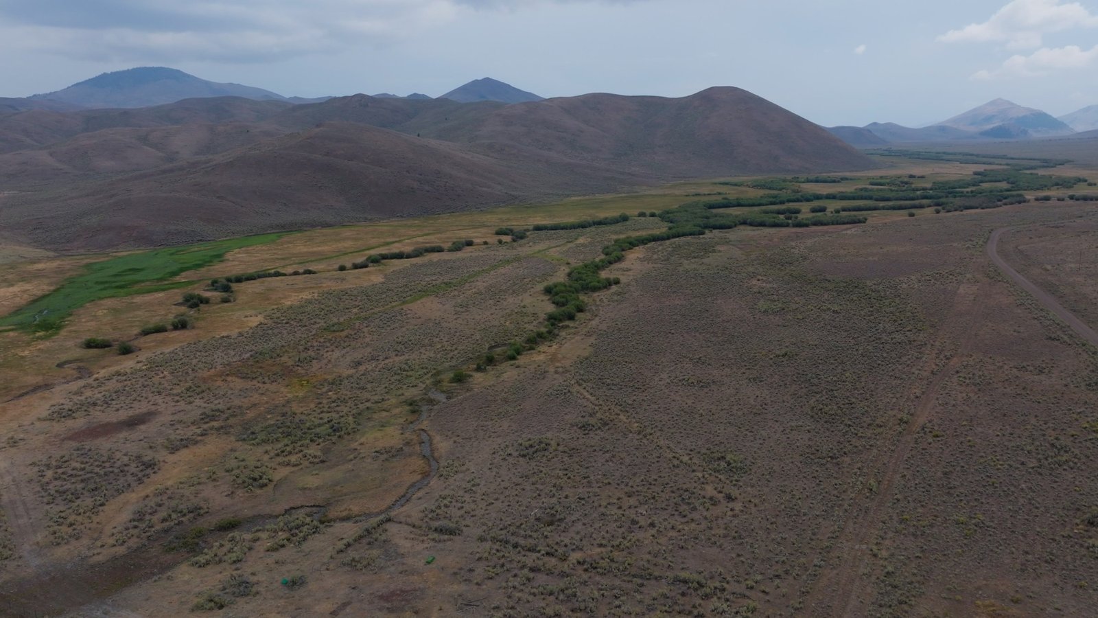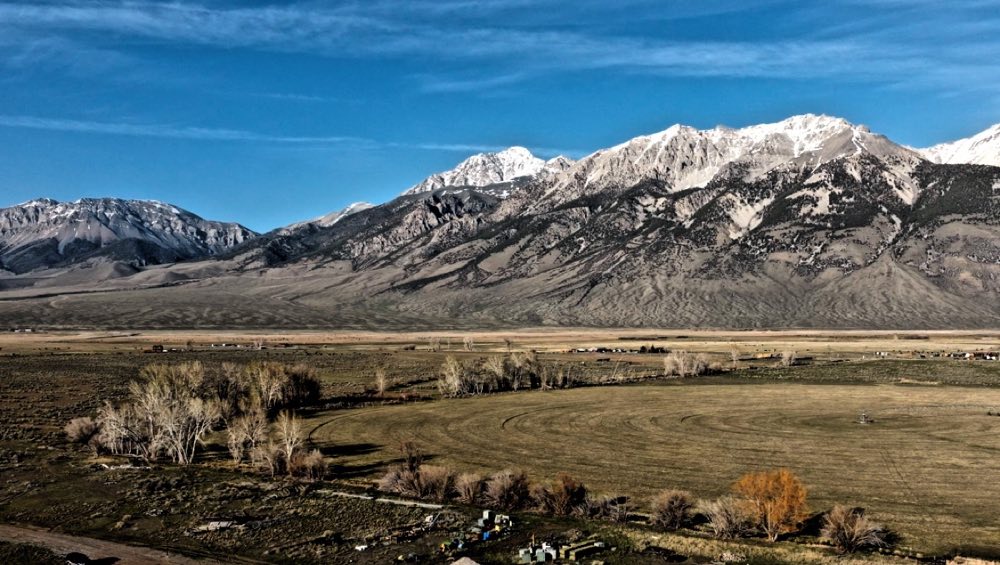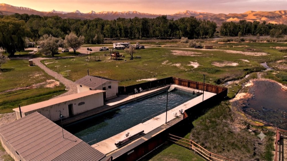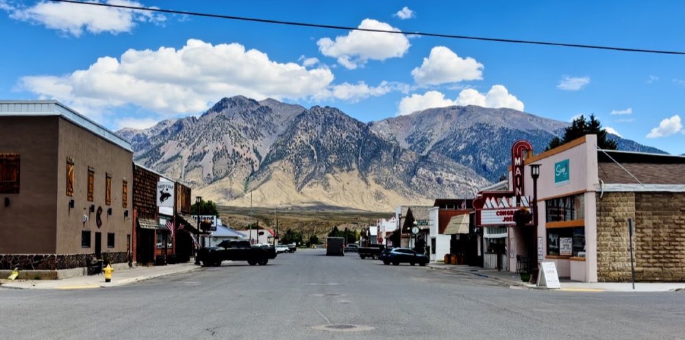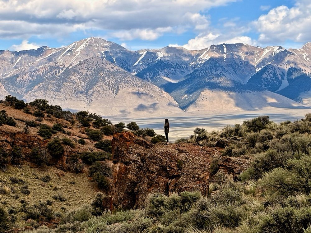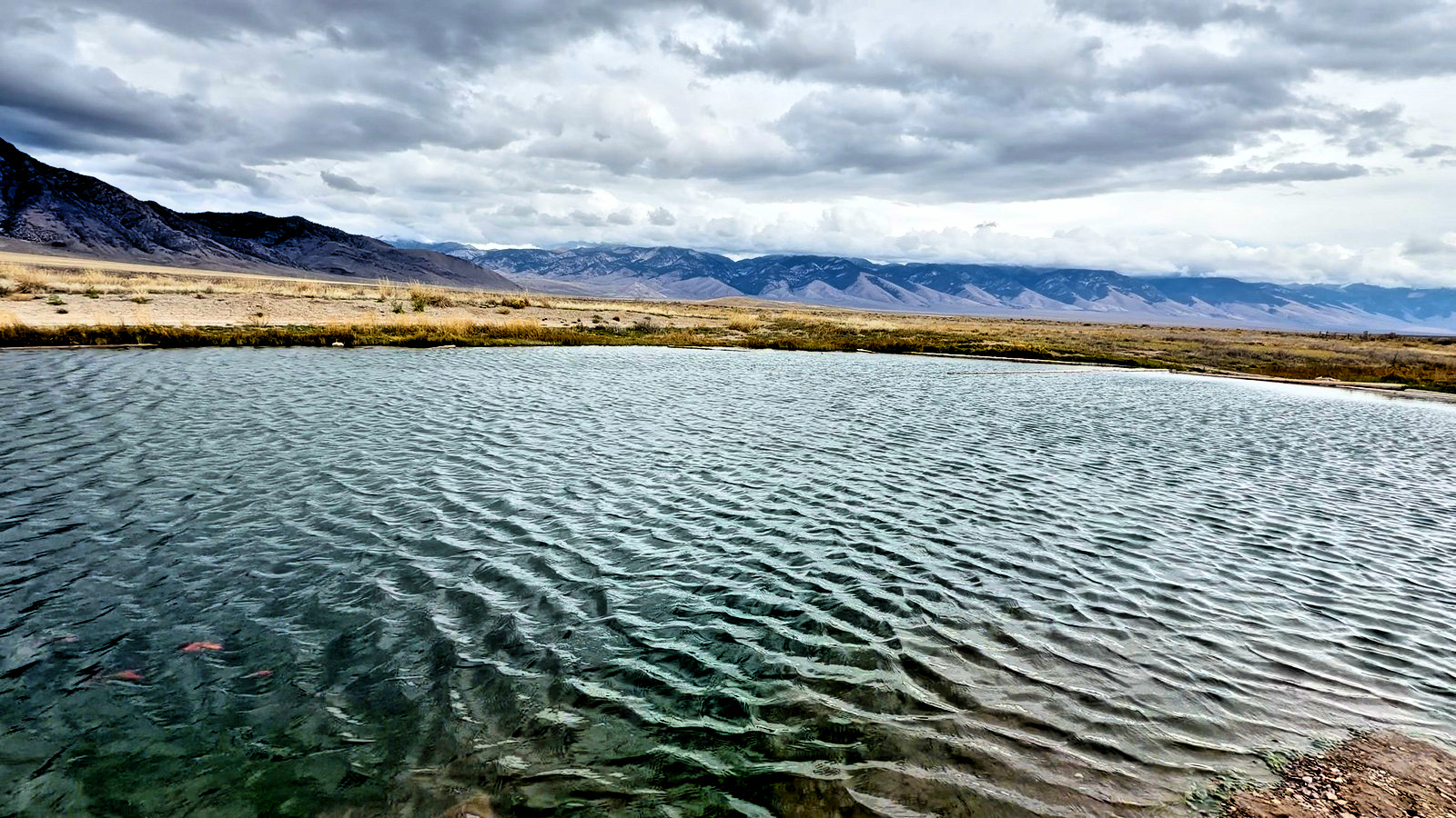
Barney Hot Springs is a free, spring-fed warm pond in the upper Pahsimeroi Valley, about 41 miles from Mackay, Idaho, over Pass Creek Summit. It is warm, not hot: the low to mid 80s. It sits on open sage flat between the Lost River Range and the Lemhi Range, across the road from the free Summit Creek campground.
It is called a hot spring, and it is a warm one: a spring-fed pond on an open sage flat with a mountain range on either side, the water in the low to mid 80s. You swim in it, with goldfish and tilapia that live here all year. It is free, there is nothing built, and most days there is nobody else.
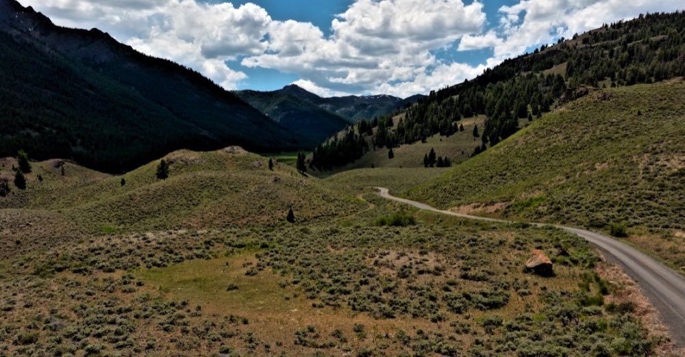
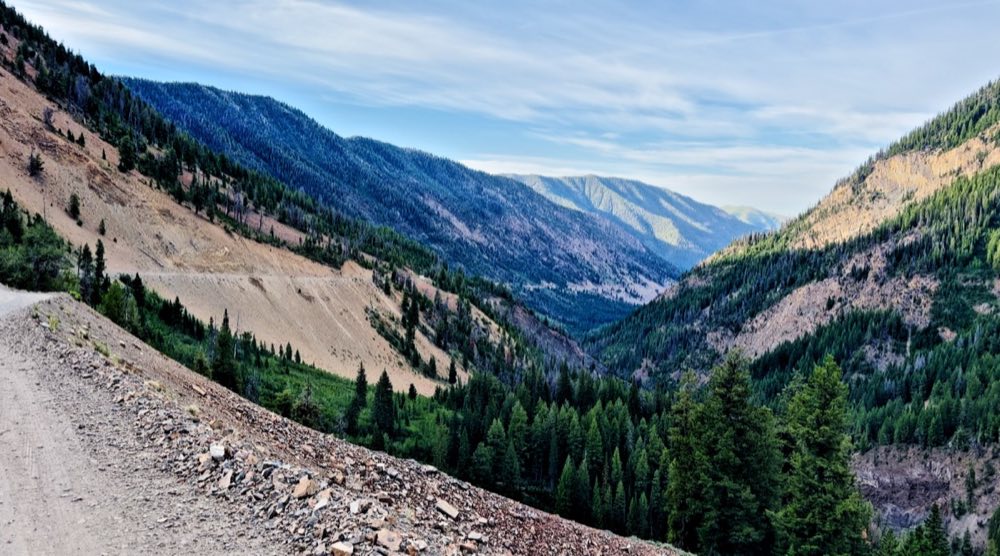
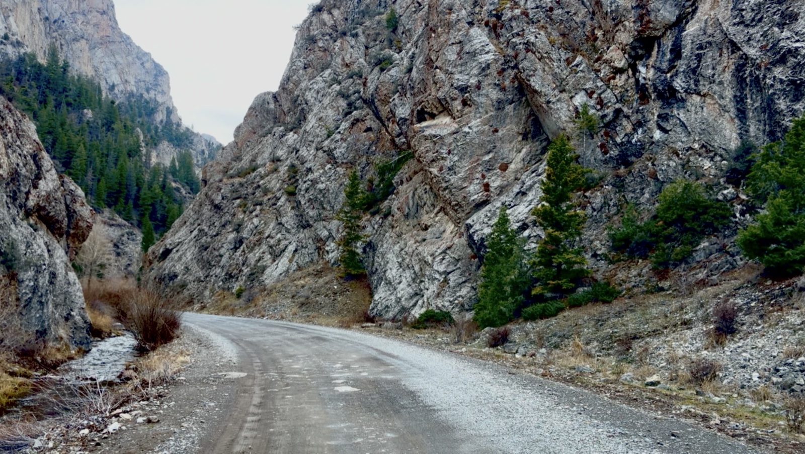
From Mackay it is about 41 miles over Pass Creek Summit, through the Pass Creek narrows, or about 61 miles over Doublespring Pass. From Challis, take US-93 north to Ellis and the Pahsimeroi Road up the valley, about 65 miles. The pond is across the road from the Summit Creek Recreation Site.
Questions people ask
Is Barney Hot Springs actually hot?
No. It is warm, in the low to mid 80s, closer to a heated pool than a hot tub. In late October it felt warm at best.
Can you swim in Barney Hot Springs?
Yes. It is a pond you swim in, not a tub you sit in. The bottom is muddy and there are fish all around you.
Are there fish in Barney Hot Springs?
Yes. Goldfish, minnows and tilapia live in the warm water year-round. People put them there; they are not native.
How do you get to Barney Hot Springs?
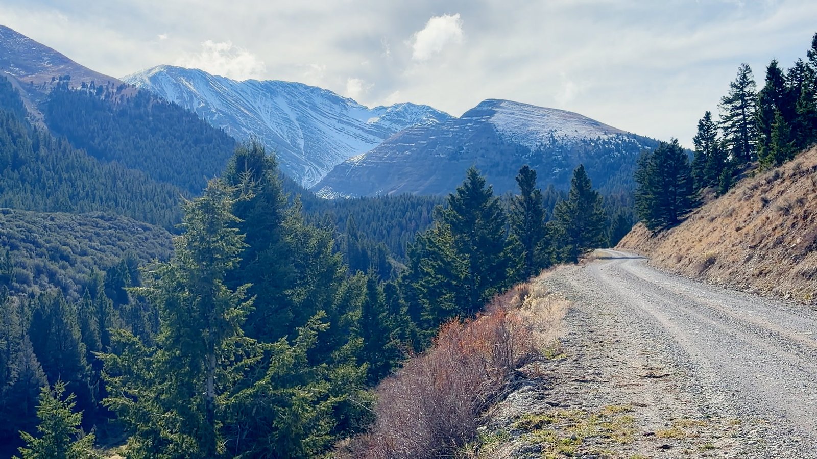
From Mackay it is about 41 miles over Pass Creek Summit, or about 61 miles over Doublespring Pass. From Challis it is about 65 miles: US-93 north to Ellis, then the Pahsimeroi Road up the valley. The last miles of every route are gravel.
Is Barney Hot Springs free?
Yes. There is no fee and nothing built at the pond. The Summit Creek Recreation Site across the road has free camping, picnic tables and vault toilets.