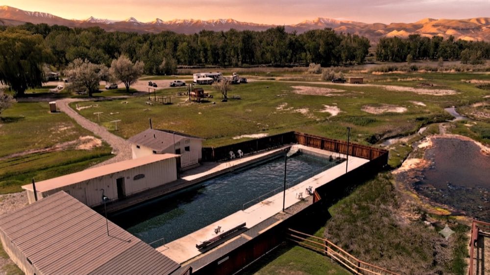
Mackay Reservoir is a 1,392-acre mountain lake about four miles northwest of Mackay, Idaho, off US-93. The Joe T. Fallini Recreation Site on the shore, run by the BLM, has 26 campsites and a boat ramp, $6 to $16.
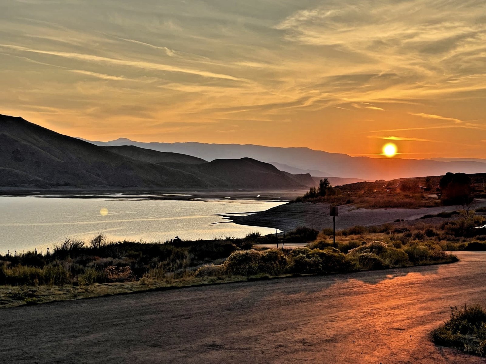
Mackay’s beach: a mountain lake with kayaks, canoes and paddleboards on the water, trout for the anglers, a picnic on the shore, and a sunset worth staying out for.
It’s just north of Mackay off US-93, at the Joe T. Fallini Recreation Site. The valley’s farmers built the dam about a century ago so the desert could grow hay, and on October 28, 1983, it took the strongest earthquake in Idaho’s history, a 6.9, and held.
The reservoir
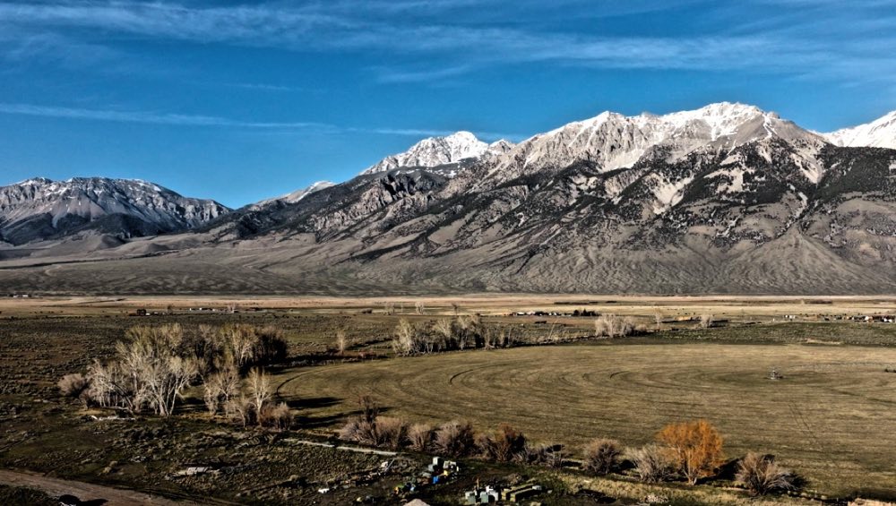
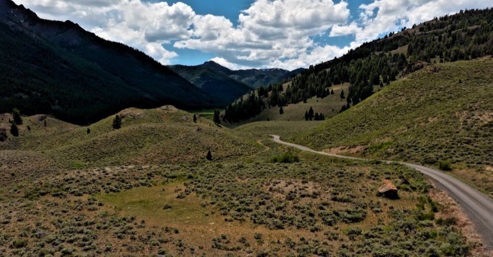
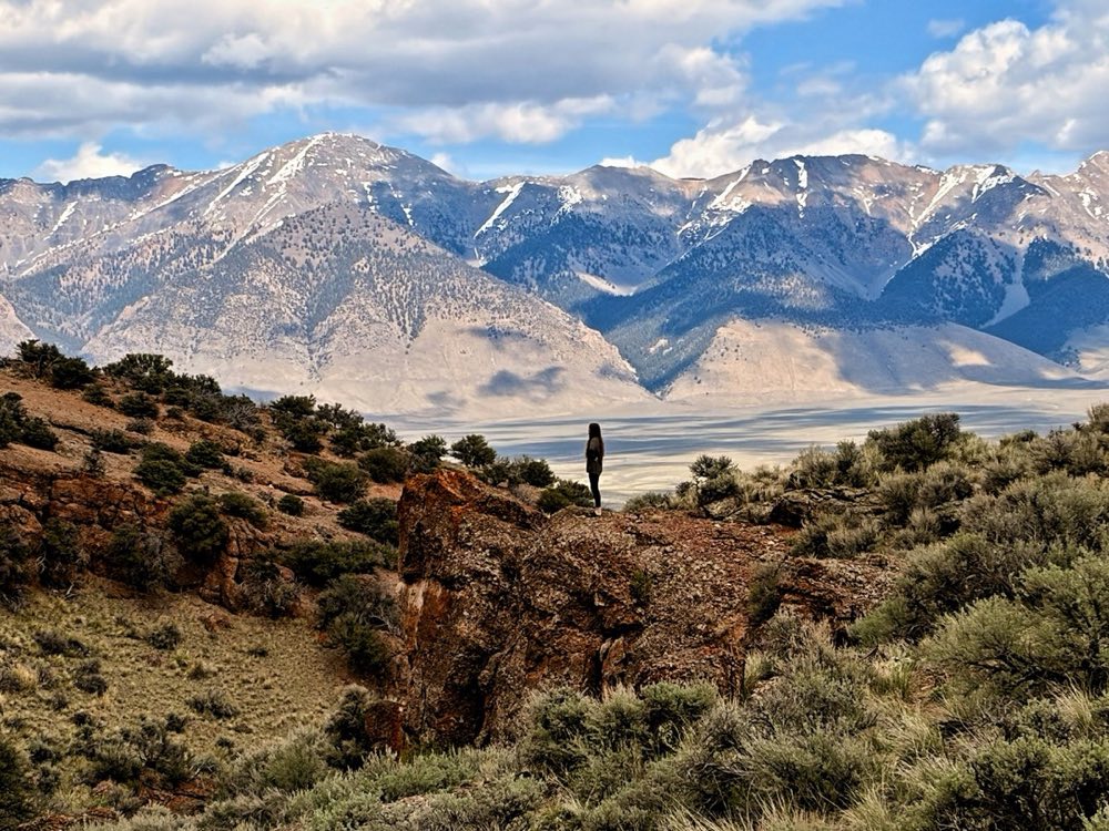
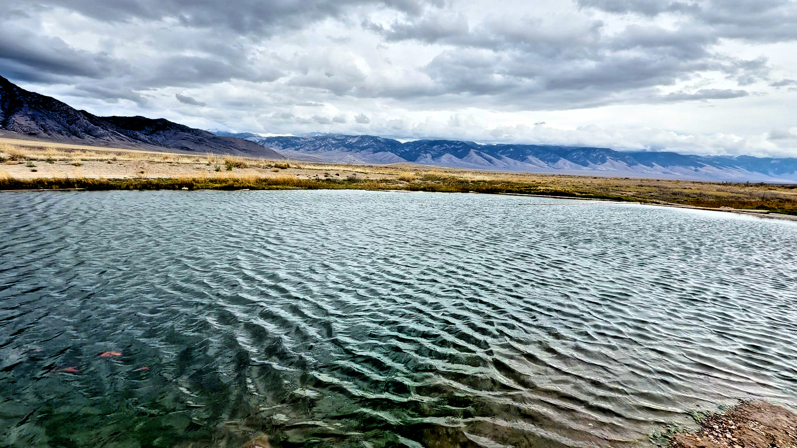
Four miles northwest of town, Mackay Reservoir spreads 1,392 acres against the base of the range — water in the foreground, the Lost River peaks behind, and on a still morning both of them twice. The BLM's Joe T. Fallini Recreation Site sits on the shore with 26 sites and a boat ramp, from $6.
Questions people ask
Can you camp at Mackay Reservoir?
Yes. The Joe T. Fallini Recreation Site, right off US-93, has 26 sites and a boat ramp. Sites are $6 to $16.
Where is Mackay Reservoir?
About four miles northwest of Mackay, Idaho, off US-93, against the base of the Lost River Range.
What can you do at Mackay Reservoir?
Kayak, canoe and paddleboard, picnic on the shore, and stay for the sunset.
When was Mackay Dam built?
About a century ago, by the valley’s farmers, so the desert could grow hay. On October 28, 1983, it took the strongest earthquake in Idaho’s history, a 6.9, and held.